Old Maps of Four Oaks, North Carolina for Metal Detecting
Plan your next treasure hunt with 12 historic maps of Four Oaks. Find old homesites, ghost towns, trails, and gathering spots that may be lost to time — perfect for identifying promising metal detecting locations.
- Locate forgotten sites: Uncover places like long-lost settlements, abandoned rail lines, or gathering spots.
- Plan better hunts: Use map overlays combined with LiDAR or satellite views to narrow in on historically rich areas.
- Made for detectorists: Thousands of hobbyists use these maps to discover relics, coins, and hidden history.
Use these historic maps to boost your research and find new opportunities beneath the surface of Four Oaks.
Four Oaks, NC maps
(12)- 1906 Map of Four Oaks
 1906 Four Oaks1906 Print · USGSCoastal plain farming and river commerce define Johnston County at the turn of the century. Genealogists can locate family landmarks like Tarts Store and Bentonville (Beasley PO), alongside historic river crossings at Pierce's Ferry.
 - 1908 Map of Four Oaks
 1908 Four Oaks1908 Print · USGSJohnston County’s agrarian landscape is captured here in the years following the turn of the century, centered on the rail commerce of Four Oaks. Researchers can trace the heritage of local families through landmarks like Peacocks Crossroads, Lees Mill, and Wentworth School.3 unique versions available
 - 1953 Map of Raleigh, 1965 Print
 1953 Raleigh1965 Print · USGSCentral North Carolina in the early sixties shows a landscape of growing towns and military hubs before the full expansion of the interstate system. Genealogists can trace family footprints across the Piedmont through Wake Forest, Siler City, and the large Fort Bragg Military Reservation.4 unique versions available
 - 1954 Map of Raleigh
 1954 Raleigh1954 Print · USGSThe North Carolina Piedmont and Sandhills are captured in the mid-fifties during a period of steady regional growth. Genealogists and historians can trace the development of towns like Siler City or locate landmarks such as Falls of Neuse and Camp Mackall.
 - 1986 Map of Four Oaks
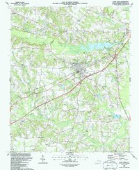 1986 Four Oaks1986 Print · USGSMid-eighties Johnston County shows a landscape of established crossroads and rural parishes centered around Four Oaks. Trace family history through numerous country churches like Beulah Hill Ch or explore the wetlands of Gum Swamp.
 - 1986 Map of Fayetteville
 1986 Fayetteville1986 Print · USGSThe North Carolina coastal plain appears in the mid-1980s as a bustling corridor of military installations and historic tobacco towns. Genealogists and historians can trace the footprints of Fort Bragg Military Reservation, Campbell University, and the rail lines of the Seaboard Coast Line RR.2 unique versions available
 - 1997 Map of Four Oaks, 2000 Print
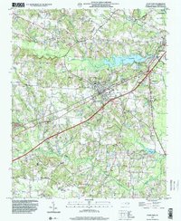 1997 Four Oaks2000 Print · USGSFour Oaks and its surrounding Johnston County farmland are captured here in the late nineties as the region balanced its rural roots with growing highway infrastructure. Genealogists can trace family footprints at Barbour Chapel, Keen Cem Park, and the crossroads at Allens Crossroads.
 - 2010 Map of Four Oaks, 2010 Print
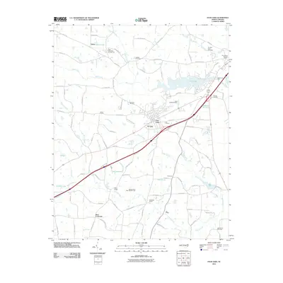 2010 Four Oaks2010 Print · USGSCovers Four Oaks, including Smithfield, The Oaks, and other nearby areas
 - 2013 Map of Four Oaks, 2013 Print
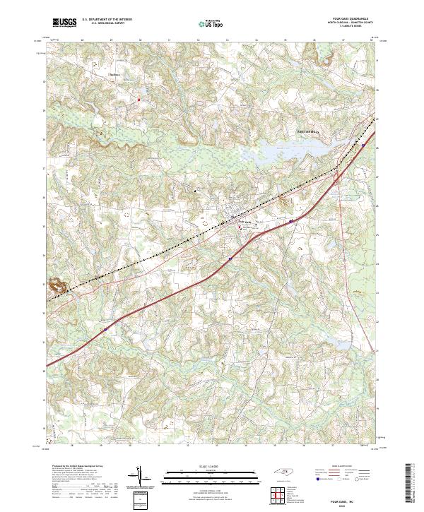
 2013 Four Oaks2013 Print · USGSCovers Four Oaks, including Smithfield, The Oaks, and other nearby areas
 - 2016 Map of Four Oaks, 2016 Print
 2016 Four Oaks2016 Print · USGSCovers Four Oaks, including Smithfield, The Oaks, and other nearby areas
 - 2019 Map of Four Oaks, 2019 Print
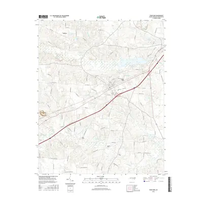
 2019 Four Oaks2019 Print · USGSCovers Four Oaks, including Smithfield, The Oaks, and other nearby areas
 - 2022 Map of Four Oaks, 2022 Print
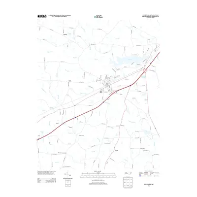
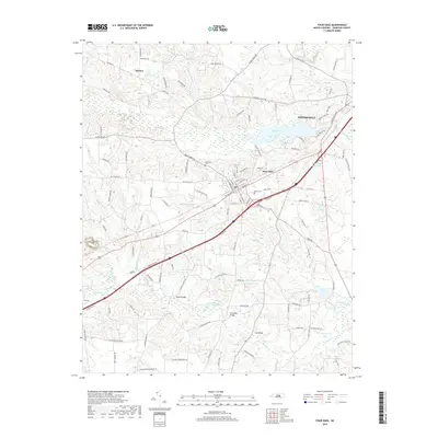
 2022 Four Oaks2022 Print · USGSModern Johnston County meets its deep history in the 2020s near the town of Four Oaks. Genealogists and researchers can trace family landmarks like the Strickland Cem or study the legacy of local mills at Massengill Mill Pond.
End of results
Showing maps 1-12 of 12
Top cities near Four Oaks
- Clayton historical maps
- Garner historical maps
- Smithfield historical maps
- Dunn historical maps
- Selma historical maps
- Benson historical maps
See more
Top neighborhoods of Four Oaks
Frequently asked questions
- What are the different types of historical maps available for Four Oaks?
- What is the oldest map of Four Oaks?
- Where can I purchase historical maps of Four Oaks for my home or office?
- Where can I download high-res historical maps of Four Oaks?
- Are there historical topographic maps available for Four Oaks?
- Is there historical aerial imagery available for Four Oaks?
- Where are historical maps of Four Oaks sourced from?