Old Maps of Stricklands Crossroads, North Carolina for Academic Research
Study the evolution of Stricklands Crossroads with 12 high-resolution historic maps. Whether you're teaching, researching, or modeling changes in land use, these maps provide essential visual documentation of urban, environmental, and geographic change.
- Analyze long-term change: Track patterns in development, transportation, and natural features.
- Ideal for environmental or urban studies: Support academic projects with primary historical map data.
- Use in the classroom or lab: Educators and researchers rely on these maps to bring historical context to life.
These maps are a powerful tool for teaching, research, and visualizing how Stricklands Crossroads has changed over the decades.
Stricklands Crossroads, NC maps
(12)- 1906 Map of Four Oaks
 1906 Four Oaks1906 Print · USGSCoastal plain farming and river commerce define Johnston County at the turn of the century. Genealogists can locate family landmarks like Tarts Store and Bentonville (Beasley PO), alongside historic river crossings at Pierce's Ferry.
 - 1908 Map of Four Oaks
 1908 Four Oaks1908 Print · USGSJohnston County’s agrarian landscape is captured here in the years following the turn of the century, centered on the rail commerce of Four Oaks. Researchers can trace the heritage of local families through landmarks like Peacocks Crossroads, Lees Mill, and Wentworth School.3 unique versions available
 - 1953 Map of Raleigh, 1965 Print
 1953 Raleigh1965 Print · USGSCentral North Carolina in the early sixties shows a landscape of growing towns and military hubs before the full expansion of the interstate system. Genealogists can trace family footprints across the Piedmont through Wake Forest, Siler City, and the large Fort Bragg Military Reservation.4 unique versions available
 - 1954 Map of Raleigh
 1954 Raleigh1954 Print · USGSThe North Carolina Piedmont and Sandhills are captured in the mid-fifties during a period of steady regional growth. Genealogists and historians can trace the development of towns like Siler City or locate landmarks such as Falls of Neuse and Camp Mackall.
 - 1986 Map of Newton Grove North
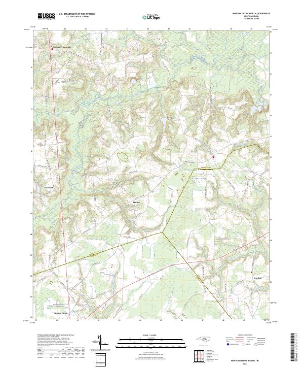
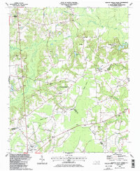 1986 Newton Grove North1986 Print · USGSCoastal Plain farmland meets civil war history in this mid-1980s survey of the Johnston and Sampson county border. Genealogists can trace family landmarks and rural congregations like Strickland Crossroads, Bentonville, and Antioch Ch.
 - 1986 Map of Fayetteville
 1986 Fayetteville1986 Print · USGSThe North Carolina coastal plain appears in the mid-1980s as a bustling corridor of military installations and historic tobacco towns. Genealogists and historians can trace the footprints of Fort Bragg Military Reservation, Campbell University, and the rail lines of the Seaboard Coast Line RR.2 unique versions available
 - 1997 Map of Newton Grove North, 2000 Print
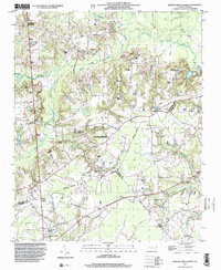 1997 Newton Grove North2000 Print · USGSThe rural borderlands of Johnston, Sampson, and Wayne counties are captured here in the late nineties, centered on the significant Bentonville Battleground. Researchers can trace the layout of Newton Grove or locate family-named landmarks and rural congregations like Ebenezer Ch and St John Ch.
 - 2010 Map of Newton Grove North, 2010 Print
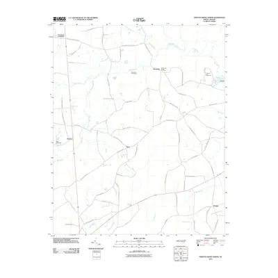 2010 Newton Grove North2010 Print · USGSCovers Stricklands Crossroads, including Newton Grove, Overshot, and other nearby areas
 - 2013 Map of Newton Grove North, 2013 Print
 2013 Newton Grove North2013 Print · USGSCovers Stricklands Crossroads, including Newton Grove, Overshot, and other nearby areas
 - 2016 Map of Newton Grove North, 2016 Print
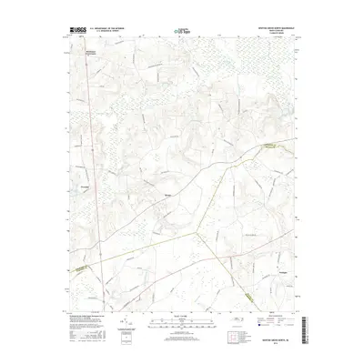 2016 Newton Grove North2016 Print · USGSCovers Stricklands Crossroads, including Newton Grove, Overshot, and other nearby areas
 - 2019 Map of Newton Grove North, 2019 Print
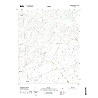 2019 Newton Grove North2019 Print · USGSCovers Stricklands Crossroads, including Newton Grove, Overshot, and other nearby areas
 - 2022 Map of Newton Grove North, 2022 Print
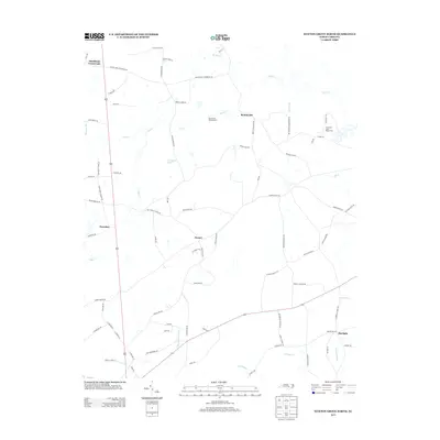
 2022 Newton Grove North2022 Print · USGSNorth Carolina's coastal plain comes into focus in this recent survey of the rural landscape where Johnston, Sampson, and Wayne counties meet. Genealogists and local historians can trace family-named landmarks and old road networks connecting Strickland Crossroads, Harper, and the wetlands along Kill Swamp.
End of results
Showing maps 1-12 of 12
Top cities near Stricklands Crossroads
- Smithfield historical maps
- Dunn historical maps
- Selma historical maps
- Benson historical maps
- Wilson's Mills historical maps
- Four Oaks historical maps
See more
Frequently asked questions
- What are the different types of historical maps available for Stricklands Crossroads?
- What is the oldest map of Stricklands Crossroads?
- Where can I purchase historical maps of Stricklands Crossroads for my home or office?
- Where can I download high-res historical maps of Stricklands Crossroads?
- Are there historical topographic maps available for Stricklands Crossroads?
- Is there historical aerial imagery available for Stricklands Crossroads?
- Where are historical maps of Stricklands Crossroads sourced from?