2000s (21st Century) Maps of Jones County, North Carolina
Explore 85 historic maps of Jones County from the 2000s (21st Century). These maps offer a rare glimpse into what life looked like during the 2000s — showing old roads, neighborhoods, homes, and landmarks that have changed or disappeared over time.
Whether you're researching your family's past, planning a metal detecting trip, or studying how Jones County's landscape evolved across the 2000s, these high-resolution maps are a powerful tool for exploring the history of this region.
- Focus on a specific era: All maps on this page are from the 2000s, giving you a focused view of this time period.
- See what’s changed: Compare century-old streets, trails, and buildings to today's modern landscape using overlays and satellite layers.
- Research with precision: Use these maps for genealogy, historical research, land use analysis, or educational projects.
- View, download, or print: Maps are fully viewable online in high resolution, and can be downloaded or printed for your own records.
Start exploring Jones County's history through authentic maps from the 2000s. This is your window into the past.
Jones County, NC maps
(85)- 2010 Map of Richlands, 2010 Print
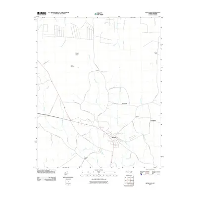 2010 Richlands2010 Print · USGSRichlands and its neighboring Onslow County settlements are shown in detail during the early twenty-first century. Genealogists and researchers can trace local family landmarks and rural communities like Huffmantown, Ervintown, and the uniquely named Hell and Purgatory Airport.
 - 2010 Map of Potters Hill, 2010 Print
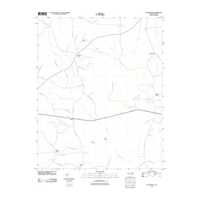 2010 Potters Hill2010 Print · USGSCoastal plain wetlands and rural crossroads define this Onslow County landscape in the early twenty-first century. Genealogists and local historians can trace family roots along roads like Wagon Ford Rd and find established settlements such as Hadley and Quinns Store.
 - 2010 Map of Jacksonville NW, 2010 Print
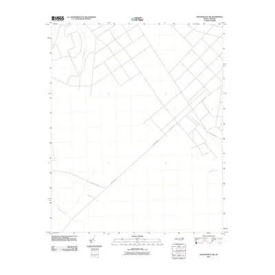 2010 Jacksonville NW2010 Print · USGSCoastal plain wetlands and rural forest roads define this Onslow County landscape in the early twenty-first century. Researchers can trace the intricate drainage of Cowhorn Swamp and follow the routes of Quaker Bridge Rd and Oak Grove Rd.
 - 2010 Map of Jacksonville NE, 2010 Print
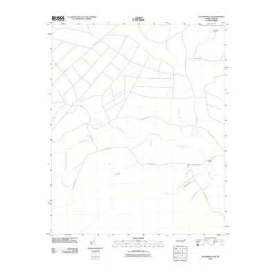 2010 Jacksonville NE2010 Print · USGSCoastal plain drainage and rural crossroads define this Onslow County landscape in the early twenty-first century. Genealogists and local historians can trace the waterways and roads around Gibson Fork, Bell Strip Airport, and the White Oak River crossing at Gibson Bridge.
 - 2010 Map of Comfort, 2010 Print
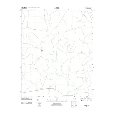 2010 Comfort2010 Print · USGSJones County at the turn of the decade remains a landscape defined by the winding Trent River and its dense bottomlands. Researchers can trace rural settlement patterns at Pleasant Hill, Comfort, and the swampy reaches of Tuckahoe Swamp.
 - 2010 Map of Dover, 2010 Print
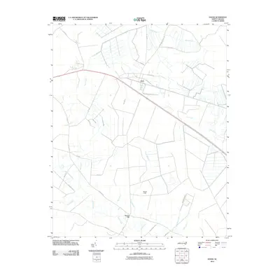 2010 Dover2010 Print · USGSInland from the North Carolina coast, this late-era survey captures the rural crossroads of Craven County during a period of modern agricultural development. Researchers can trace land tracts near Dover, identify water courses like Gum Swamp, and locate the site of Sassers Mill.
 - 2010 Map of Phillips Crossroads, 2010 Print
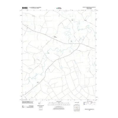 2010 Phillips Crossroads2010 Print · USGSJones County at the turn of the decade is captured here through its river crossings and rural crossroads. Genealogists and local historians can trace family land via the Trent River and identify landmark locations like Phillips Crossroads, Pollocks, and Free Bridge.
 - 2010 Map of Rivermont, 2010 Print
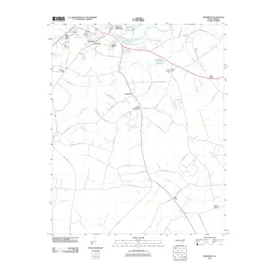 2010 Rivermont2010 Print · USGSCoastal plain settlements and winding creek systems dominate the Kinston area in the early 2000s. Genealogists can trace local roots at Southview Cemetery or explore the geography of community hubs like Loftins Crossroads and Dupreeville.
 - 2010 Map of Cove City, 2010 Print
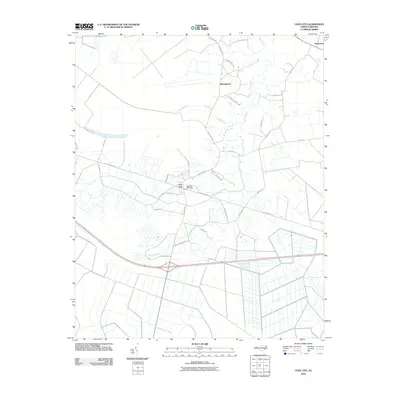 2010 Cove City2010 Print · USGSCove City and the surrounding Craven County lowlands are captured here at the start of the 2010s. Genealogists can trace family names through local routes like John Daugherty Rd and McCoy Cemetery Rd or locate the rural settlement of Wintergreen.
 - 2010 Map of Trenton, 2010 Print
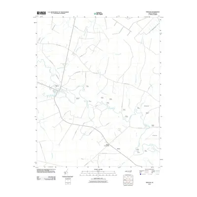 2010 Trenton2010 Print · USGSCoastal plain life in Jones County centered on the winding Trent River during the early twenty-first century. Genealogists and local historians can trace family-named river access points like Prettyman Landing and Banks Landing, or locate landmarks such as Quaker Bridge and Brock Pond.
 - 2010 Map of Pink Hill, 2010 Print
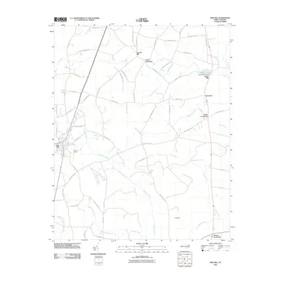 2010 Pink Hill2010 Print · USGSThe rural landscapes of Lenoir and Duplin Counties come to life in this 2010 survey of eastern North Carolina. Researchers can trace family history through numerous named crossroads and mills, including Nobles Crossroads, Lawsons Mill, and the community of Pink Hill.
 - 2011 Map of New Bern, 2011 Print
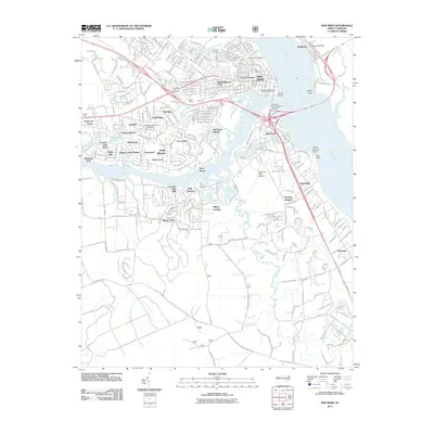 2011 New Bern2011 Print · USGSNew Bern and its riverfront neighborhoods are shown here in detail during the early twenty-first century. Genealogists and historians can trace cemetery locations and residential growth in James City, Bridgeton, and Trent Woods.
 - 2011 Map of Pollocksville, 2011 Print
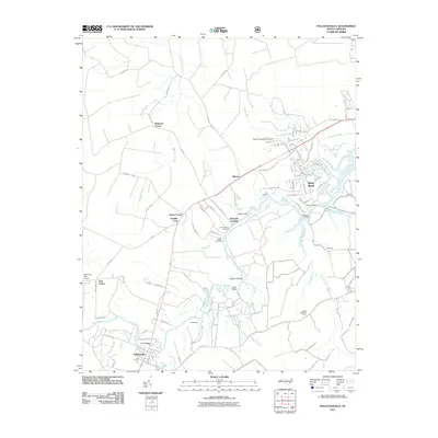 2011 Pollocksville2011 Print · USGSPollocksville and the winding Trent River valley are captured here just after the turn of the millennium. Researchers can trace family-named crossroads like Jones Corner and Simmons Corner, or locate river landmarks such as Bells Landing and the Island Creek Fire Tower.
 - 2011 Map of Stella, 2011 Print
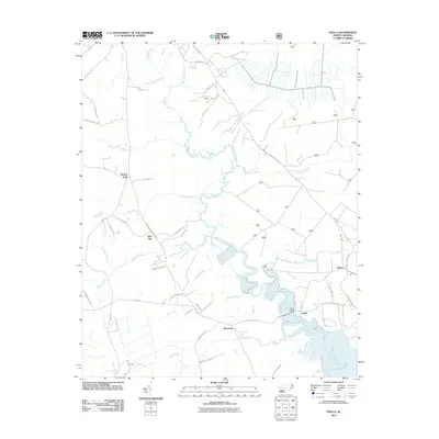 2011 Stella2011 Print · USGSThis coastal pocket of Onslow County shows the winding White Oak River and its rural riverfront communities in the early 21st century. Researchers can trace local heritage through landmarks like Stella Bridge and settlements such as Silverdale and Pala Alto.
 - 2011 Map of Catfish Lake, 2011 Print
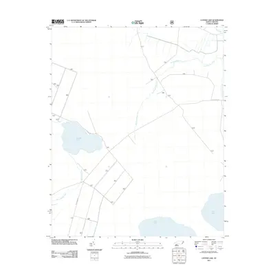 2011 Catfish Lake2011 Print · USGSCoastal North Carolina's wetland interior is documented here in the early twenty-first century, showing a landscape defined by significant water bodies and creeks. Researchers can trace the drainage of Catfish Lake and Great Lake through West Prong Brice Creek and along Black Swamp Rd.
 - 2011 Map of Maysville, 2011 Print
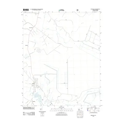 2011 Maysville2011 Print · USGSCoastal plain settlements and industrial sites appear south of New Bern during the early twenty-first century. Genealogists and researchers can trace local landmarks like Belgrade Quarry, Donnie S Sawmill, and family-named routes such as Yates Ln.
 - 2011 Map of Hadnot Creek, 2011 Print
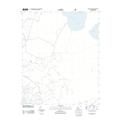 2011 Hadnot Creek2011 Print · USGSCoastal Onslow County at the turn of the decade is defined by its expansive wetlands and the winding waters of Hadnot Creek. Researchers can trace old family lands and community routes along Old Church Rd, Hadnot Farm Rd, and White Oak Bluff.
 - 2013 Map of Pink Hill, 2013 Print
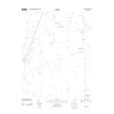 2013 Pink Hill2013 Print · USGSCoastal plain settlements and water-powered mill sites characterize this Lenoir County landscape in the early twenty-first century. Researchers can trace family-named routes and landmark crossroads like Nobles Crossroads, find old mill sites such as Lawsons Mill, or locate Pink Hill Airport.
 - 2013 Map of Comfort, 2013 Print
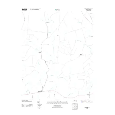 2013 Comfort2013 Print · USGSIn the early twenty-first century, the Trent River basin near Pleasant Hill remains a landscape of quiet crossroads and expansive wetlands. Genealogists and local historians can trace family-named routes like Jessie Howard Rd and locate settlements at Combs Fork and Comfort.
 - 2013 Map of Rivermont, 2013 Print
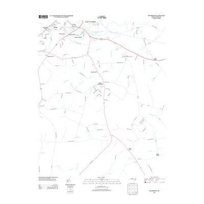 2013 Rivermont2013 Print · USGSCoastal plain settlements and river bottomlands south of Kinston come into focus during the early 2000s. Genealogists and local historians can trace family-named crossroads and landmarks like Loftins Crossroads, Dupreeville, and the Lenoir County Fairgrounds.
 - 2013 Map of Cove City, 2013 Print
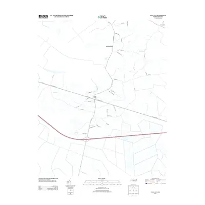 2013 Cove City2013 Print · USGSCove City and the surrounding North Carolina coastal plain are shown here in the early twenty-first century. Genealogists and local historians can trace family landholdings along McCoy Cemetery Rd and explore settlements like Wintergreen and Perfection.
 - 2013 Map of Dover, 2013 Print
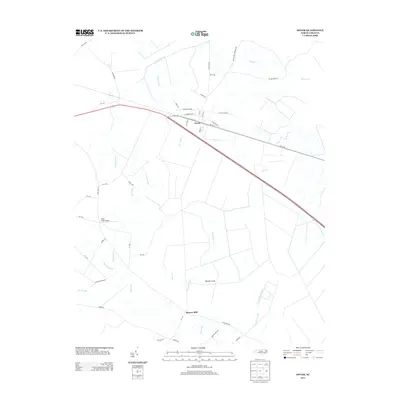 2013 Dover2013 Print · USGSDover and the surrounding Craven County wetlands are documented in the early twenty-first century as agricultural tracts meet the coastal swamps. Researchers can trace local landmarks like Sassers Mill, Hood Field Airport, and the drainage patterns of Tracey Swamp.
 - 2013 Map of Pollocksville, 2013 Print
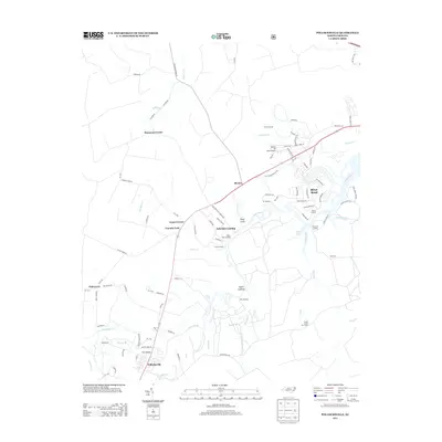 2013 Pollocksville2013 Print · USGSThe riverfront and rural crossroads of Craven County come alive in this early twenty-first-century survey. Genealogists and researchers can trace the reach of the Trent River through historic sites like Taylor Landing, the Island Creek Fire Tower, and the town of Pollocksville.
 - 2013 Map of Trenton, 2013 Print
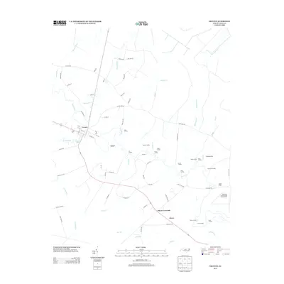 2013 Trenton2013 Print · USGSJones County at the start of the 2010s reveals a landscape shaped by the Trent River and its many historic landings. You can trace the development of Trenton and Pollocksville or locate landmarks like Quaker Bridge and the Olivers Landing.
 - 2013 Map of Phillips Crossroads, 2013 Print
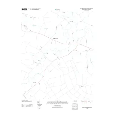 2013 Phillips Crossroads2013 Print · USGSJones County at the start of the 2010s is defined by the winding Trent River and its rural creek-side settlements. Researchers can trace historic river crossings like Wilcox Bridge and local family landmarks such as Jack Cabin Br or Phillips Crossroads.
Showing maps 1-25 of 85
Top cities of Jones County
Frequently asked questions
- What are the different types of historical maps available for Jones County?
- What is the oldest map of Jones County?
- Where can I purchase historical maps of Jones County for my home or office?
- Where can I download high-res historical maps of Jones County?
- Are there historical topographic maps available for Jones County?
- Is there historical aerial imagery available for Jones County?
- Where are historical maps of Jones County sourced from?