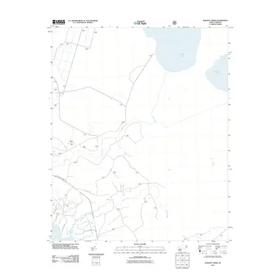
2011 Map of Hadnot Creek
USGS Topo · Published 2011About this map
Great Lake and Lake Ellis Simon dominate the northern wetlands of this Onslow County landscape, feeding a complex drainage system that includes Wolf Swamp and Hunters Creek. The area’s settlement history is reflected in the naming of local waterways and thoroughfares like Hadnot Creek and Caleb Branch. Along the southern reaches, residential corridors such as Woodland Dr and River Oaks Dr press toward the water near White Oak Bluff.
Find a feature on this map
19 named features on this map. Tap any name to fly to it.
Don’t see what you’re looking for? This feature index may not catch every label — zoom into the map to look around manually.
Map Details
Editions of this 2011 Hadnot Creek Map
This is the sole edition of this map. No revisions or reprints were ever made.
Other maps of this area

1942 · Maysville
USGS Topo · 1:62,500

1942 · Swansboro
USGS Topo · 1:62,500

1948 · Maysville
USGS Topo · 1:62,500

1948 · Swansboro
USGS Topo · 1:62,500

1949 · Havelock
USGS Topo · 1:24,000

1949 · Salter Path
USGS Topo · 1:24,000

1949 · Masontown
USGS Topo · 1:24,000

1951 · Salter Path
USGS Topo · 1:24,000

1951 · Masontown
USGS Topo · 1:24,000

1952 · Hubert
USGS Topo · 1:24,000