Old Maps of Whispering Pines, North Carolina for Academic Research
Study the evolution of Whispering Pines with 33 high-resolution historic maps. Whether you're teaching, researching, or modeling changes in land use, these maps provide essential visual documentation of urban, environmental, and geographic change.
- Analyze long-term change: Track patterns in development, transportation, and natural features.
- Ideal for environmental or urban studies: Support academic projects with primary historical map data.
- Use in the classroom or lab: Educators and researchers rely on these maps to bring historical context to life.
These maps are a powerful tool for teaching, research, and visualizing how Whispering Pines has changed over the decades.
Whispering Pines, NC maps
(33)- 1948 Map of Southern Pines, 1954 Print
 1948 Southern Pines1954 Print · USGSThe North Carolina Sandhills were a hub of transit and military expansion just after the war. This survey allows researchers to trace family landmarks like St Mathews Ch and Taylor Town or map the early footprints of Fort Bragg and Camp Mackall.
 - 1950 Map of Niagara
 1950 Niagara1950 Print · USGSIn the Sand Hills during the late 1940s, the rural landscapes of Moore and Hoke Counties were defined by rail corridors and expanding military grounds. Researchers can trace family sites like McCrimmons Chapel, the Goins Cem, and the small rail settlements of Niagara and Manly.
 - 1950 Map of Southern Pines
 1950 Southern Pines1950 Print · USGSMoore County transitioned from rural timberland to a premier resort hub during the mid-century, as shown in this detailed survey of the Sandhills. Researchers can trace the development of Pinehurst and Southern Pines, locating landmarks like the Village Chapel, The Ark Sch, and Bethesda Church.
 - 1953 Map of Raleigh, 1965 Print
 1953 Raleigh1965 Print · USGSCentral North Carolina in the early sixties shows a landscape of growing towns and military hubs before the full expansion of the interstate system. Genealogists can trace family footprints across the Piedmont through Wake Forest, Siler City, and the large Fort Bragg Military Reservation.4 unique versions available
 - 1954 Map of Raleigh
 1954 Raleigh1954 Print · USGSThe North Carolina Piedmont and Sandhills are captured in the mid-fifties during a period of steady regional growth. Genealogists and historians can trace the development of towns like Siler City or locate landmarks such as Falls of Neuse and Camp Mackall.
 - 1957 Map of Southern Pines, 1960 Print
 1957 Southern Pines1960 Print · USGSThe North Carolina Sand Hills come into focus in the late fifties, centered on the growing resorts and rail hubs of Moore County. Researchers can trace historic lineages through local landmarks like Old Notre Dame Academy, McCrimmons Chapel, and the Silver Spring Cem.
 - 1957 Map of Southern Pines, 1960 Print
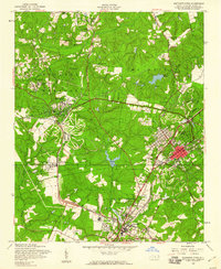 1957 Southern Pines1960 Print · USGSThe Sandhills of Moore County are shown here in the late fifties as the resort and rail hub centers reach their mid-century form. Researchers can trace the development of Pinehurst and Southern Pines, identifying landmarks like the Pinehurst Trotting Track, Village Chapel, and the Seaboard Air Line railroad.4 unique versions available
 - 1957 Map of Niagara, 1960 Print
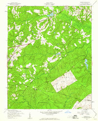 1957 Niagara1960 Print · USGSMoore County in the late fifties shows the steady influence of the railroad and the expansion of the Fort Bragg Military Reservation. Researchers can locate specific sites like the Old Notre Dame Academy, Gains Cem, and the village of Manly.5 unique versions available
 - 1974 Map of Carthage, 1976 Print
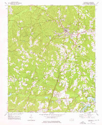 1974 Carthage1976 Print · USGSCarthage and the surrounding Moore County countryside are shown here in the mid-seventies during a period of residential and recreational growth. Researchers can find numerous rural landmarks, from Goodwin State Forest to historic sites like Doubs Chapel and the Farm Life Sch.2 unique versions available
 - 1974 Map of Vass, 1976 Print
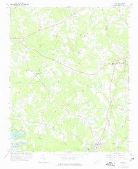 1974 Vass1976 Print · USGSMoore County in the mid-seventies shows a landscape of established rail towns and emerging residential developments near the Lee County line. Genealogists and local historians can trace family-named sites like Henderson Cem, Stones Chapel, and the Seaboard Coast Line through Vass.
 - 1976 Map of Southern Pines, 1978 Print
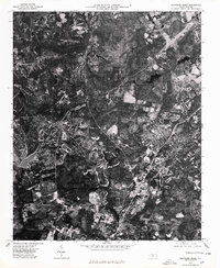 1976 Southern Pines1978 Print · USGSMid-seventies Moore County is revealed through detailed aerial imagery, showing the rapid evolution of the Sandhills region. Trace the development patterns between Southern Pines, Pinehurst, and Aberdeen to see how these communities were beginning to merge.
 - 1976 Map of Niagara, 1978 Print
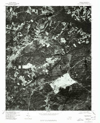 1976 Niagara1978 Print · USGSMoore County as it appeared in the mid-seventies is captured in this detailed orthophotoquad, showing the rural landscape just as suburban expansion began. Local historians can trace the footprint of early development near Lake Niagara and study the 1976 patterns of forestry and farmland.
 - 1982 Map of Southern Pines, 1983 Print
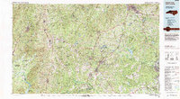 1982 Southern Pines1983 Print · USGSCentral North Carolina in the early eighties shows a landscape defined by military expansion and historic rail corridors. Researchers can trace the legacy of the Seaboard Coast Line through Pinehurst or locate landmarks like the Town Creek Indian Mound State Historic Site.
 - 1998 Map of Niagara, 2000 Print
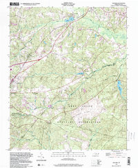 1998 Niagara2000 Print · USGSMoore and Hoke County see the meeting of military and civilian life in the late nineties as the sandhills region grew. Researchers can trace the boundaries of the Fort Bragg Military Reservation and locate local landmarks like the Old Notre Dame Academy and Goins Cem.
 - 2010 Map of Carthage, 2010 Print
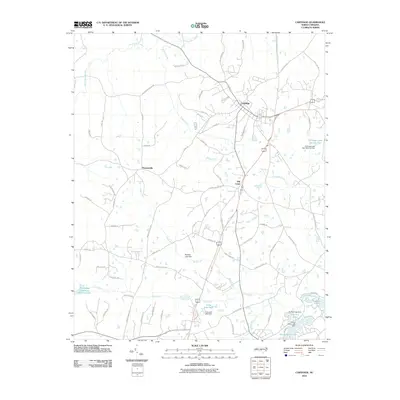 2010 Carthage2010 Print · USGSMoore County at the start of the twenty-first century reveals a landscape of historic crossroads and developed water resources. Genealogists and local historians can trace family-named routes and small communities like Pleasantville, Hill Crest, and the shores of Long Leaf Lake.
 - 2010 Map of Southern Pines, 2010 Print
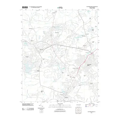 2010 Southern Pines2010 Print · USGSThe sandhills of Moore County come alive in this map from the early 21st century, showing the established hubs of Pinehurst and Southern Pines. Genealogists and historians can trace neighborhood growth near Mount Hope Cemetery or locate landmarks like the Pinehurst Trotting Track.
 - 2010 Map of Vass, 2010 Print
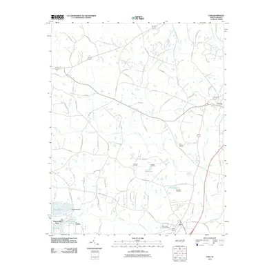 2010 Vass2010 Print · USGSMoore County at the start of the 2010s shows a landscape of growing residential communities and industrial remnants. Genealogists and local historians can trace family sites like Henderson Cemetery and the industrial infrastructure of Troy Lumber Company Dam.
 - 2013 Map of Vass, 2013 Print
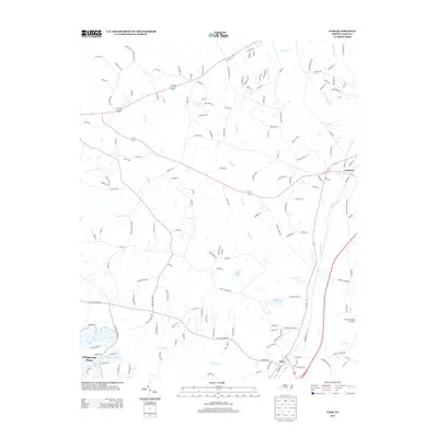 2013 Vass2013 Print · USGSThe rail-and-road corridor between Vass and Cameron is captured here in the early twenty-first century as the area transitioned toward modern residential growth. Researchers can trace local landmarks like Rooster Field Airport and the lakefront developments of Whispering Pines.
 - 2013 Map of Carthage, 2013 Print
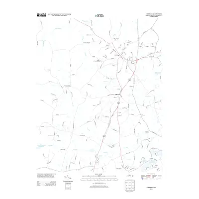 2013 Carthage2013 Print · USGSMoore County's seat and the surrounding rural hamlets are captured here during a period of steady growth. Researchers can trace the layout of Carthage streets or locate the outlying Gilliam Mc Connell Airfield and the waters of Thagards Lake.
 - 2013 Map of Niagara, 2013 Print
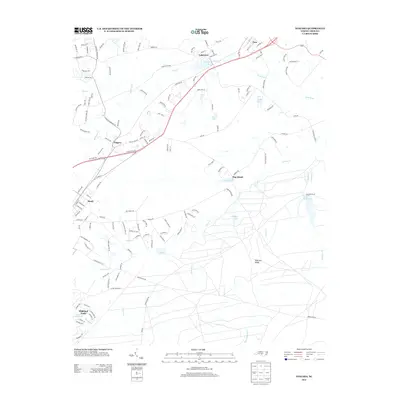 2013 Niagara2013 Print · USGSThe Southern Pines area in the early 2010s shows a complex network of small settlements and inland waterways. Genealogists and local historians can trace the development around Niagara, Vass, and Lakeview, or locate landmarks like Railroad Ridge and Crystal Lake.
 - 2013 Map of Southern Pines, 2013 Print
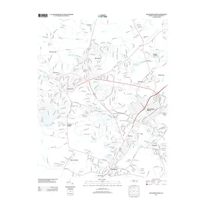 2013 Southern Pines2013 Print · USGSThe Pinehurst and Southern Pines resort region is captured here during its modern development in the early 2010s. Local historians can trace the footprints of Jackson Hamlet and Taylortown alongside landmarks like the Pinehurst Trotting Track.
 - 2016 Map of Southern Pines, 2016 Print
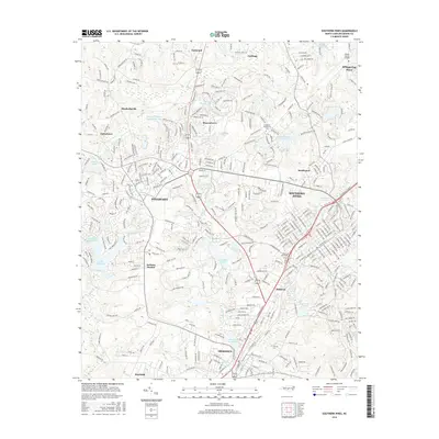 2016 Southern Pines2016 Print · USGSMoore County at the turn of the millennium shows the dense development and resort heritage of the Sandhills region. Researchers can trace local lineage and land use through landmarks like Mount Hope Cemetery, Jackson Hamlet, and the historic Aberdeen rail corridor.
 - 2016 Map of Carthage, 2016 Print
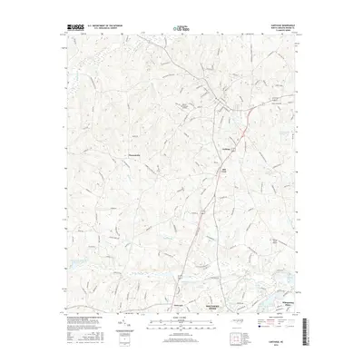 2016 Carthage2016 Print · USGSMoore County's rolling townships and the outskirts of the Sandhills are documented here during the mid-2010s. Local researchers can trace the roads connecting Carthage to Whispering Pines while locating landmarks like Gilliam-McConnell Airfield and Thagards Lake.
 - 2016 Map of Niagara, 2016 Print
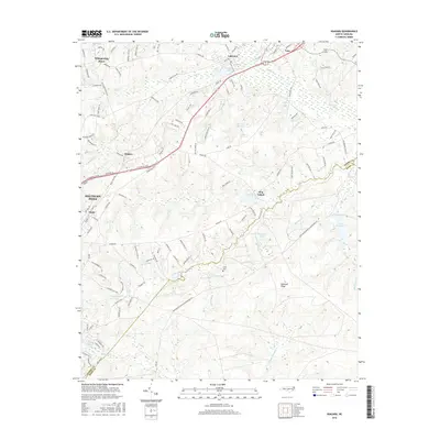 2016 Niagara2016 Print · USGSSouthern Pines and the surrounding Sandhills area are shown in detail during the mid-2010s, highlighting the region's dense network of lakes and rail corridors. Researchers can trace the layout of Whispering Pines, locate the Goins Cem, and explore landmarks like Hog Island and Railroad Ridge.
 - 2016 Map of Vass, 2016 Print
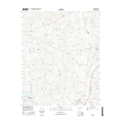 2016 Vass2016 Print · USGSThe Moore County Sandhills are captured here during a period of residential growth and rural stability. Trace family history and land patterns near Carthage, Vass, and historical burial sites like Crane Creek Cem or Henderson Cem.
Showing maps 1-25 of 33
Top cities near Whispering Pines
- Sanford historical maps
- Pinehurst historical maps
- Southern Pines historical maps
- Aberdeen historical maps
- Seven Lakes historical maps
- Carthage historical maps
See more
Frequently asked questions
- What are the different types of historical maps available for Whispering Pines?
- What is the oldest map of Whispering Pines?
- Where can I purchase historical maps of Whispering Pines for my home or office?
- Where can I download high-res historical maps of Whispering Pines?
- Are there historical topographic maps available for Whispering Pines?
- Is there historical aerial imagery available for Whispering Pines?
- Where are historical maps of Whispering Pines sourced from?