2020s Maps of Pasquotank County, North Carolina
Explore 11 historic maps of Pasquotank County from the 2020s. These maps offer a rare glimpse into what life looked like during the 2020s — showing old roads, neighborhoods, homes, and landmarks that have changed or disappeared over time.
Whether you're researching your family's past, planning a metal detecting trip, or studying how Pasquotank County's landscape evolved across the 2020s, these high-resolution maps are a powerful tool for exploring the history of this region.
- Focus on a specific era: All maps on this page are from the 2020s, giving you a focused view of this time period.
- See what’s changed: Compare century-old streets, trails, and buildings to today's modern landscape using overlays and satellite layers.
- Research with precision: Use these maps for genealogy, historical research, land use analysis, or educational projects.
- View, download, or print: Maps are fully viewable online in high resolution, and can be downloaded or printed for your own records.
Start exploring Pasquotank County's history through authentic maps from the 2020s. This is your window into the past.
Pasquotank County, NC maps
(11)- 2022 Map of Chapanoke, 2022 Print
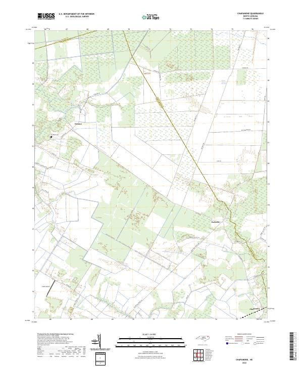 2022 Chapanoke2022 Print · USGSIn the early 2020s, the rural borderlands of Perquimans and Pasquotank Counties remained a landscape defined by the Great Dismal Swamp. Genealogists and local historians can trace the roads connecting Nicanor and Parkville, or locate the Up River Cem and Craft Airport.
 - 2022 Map of Elizabeth City, 2022 Print
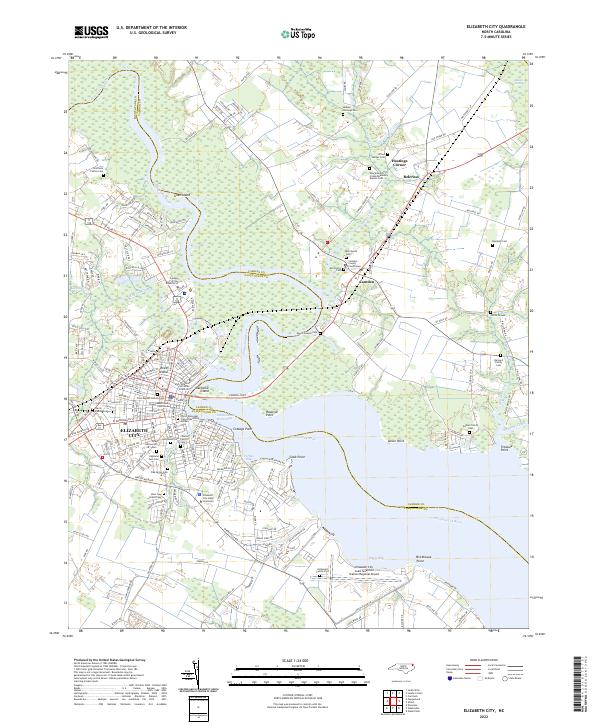 2022 Elizabeth City2022 Print · USGSElizabeth City and the surrounding coastal plain of the Albemarle region are shown here in the early twenty-first century. Genealogists and local historians can locate many family-named landmarks, including Boushall Cem, Enoch Sawyer Cem, and the Elizabeth City State University campus.
 - 2022 Map of South Mills, 2022 Print
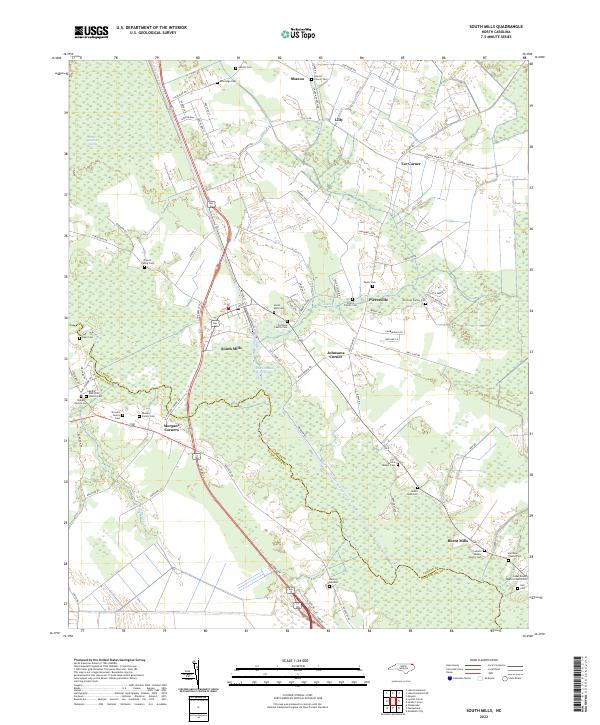 2022 South Mills2022 Print · USGSCamden County and the northern reaches of the Pasquotank River are captured here in the early twenty-first century. Genealogists can trace numerous family landmarks, from the Archie Sawyer Cem and Rhodes Family Cem to the storied waters of the Dismal Swamp Canal.
 - 2022 Map of Shiloh, 2022 Print
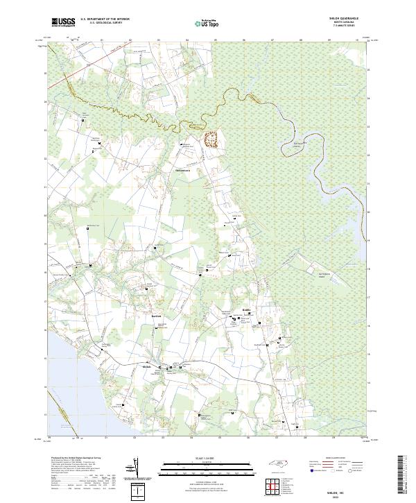 2022 Shiloh2022 Print · USGSCoastal Camden County is shown in this modern survey, capturing the intricate wetlands and rural crossroads of the North Carolina Inner Banks. Genealogists can trace numerous family-named landmarks including the Isaac Prichard Cem, Mercer Family Cem, and Gregory Family Cem.
 - 2022 Map of Stevenson Point, 2022 Print
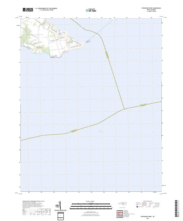 2022 Stevenson Point2022 Print · USGSThe coastal peninsula of Perquimans County comes into focus in this recent survey of the Albemarle Sound. Researchers can trace modern residential growth at Durants Neck and identify shoreline landmarks like Stevenson Point and Reed Point.
 - 2022 Map of Lynchs Corner, 2022 Print
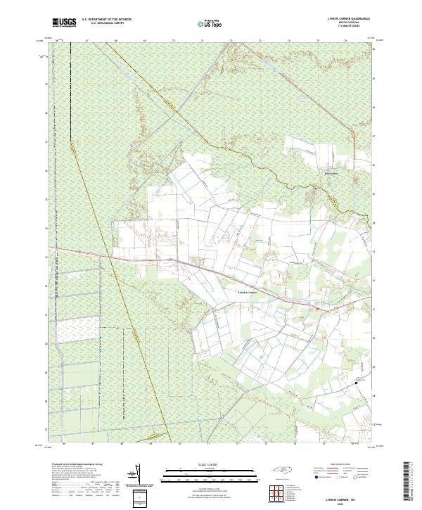 2022 Lynchs Corner2022 Print · USGSThe North Carolina wetlands meet rural settlement in the early 2020s, showing the intersection of the Great Dismal Swamp and local crossroads. Genealogists and researchers can trace the Griffin Family Cem and the small communities at Lynchs Corner and Horseshoe.
 - 2022 Map of Weeksville, 2022 Print
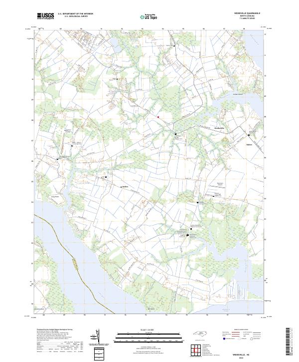 2022 Weeksville2022 Print · USGSThe Pasquotank County coastline near the Albemarle Sound is revealed in this modern survey. Genealogists can trace numerous family burial sites, including the Meads-Jackson Cartwright Plot and Newbegun Creek Quaker Cem.
 - 2022 Map of Wade Point, 2022 Print
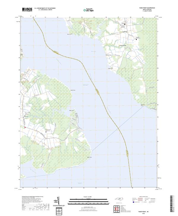 2022 Wade Point2022 Print · USGSCamden County's river-fed shorelines are shown here during the early twenty-first century as the Intracoastal Waterway carries traffic toward the Albemarle Sound. Genealogists can trace numerous family burial sites near Old Trap, including the Keaton Cem and Wilson Cem.
 - 2022 Map of Pasquotank, 2022 Print
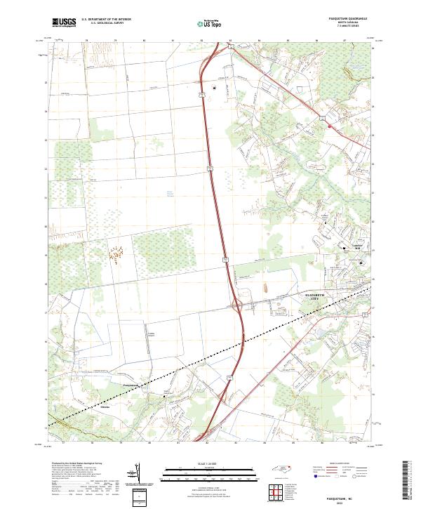 2022 Pasquotank2022 Print · USGSCoastal North Carolina comes to life in the early 2020s as the suburbs of Elizabeth City meet the wild Great Dismal Swamp. Genealogists can locate several family burial grounds, including the Pritchard Family Cem, and trace the industrial legacy of the Lumber Mill.
 - 2022 Map of Nixonton, 2022 Print
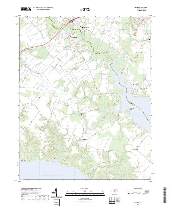 2022 Nixonton2022 Print · USGSThe borderlands of Pasquotank and Perquimans counties are captured here in the early 2020s, centered on the historic water routes of the Little River. Researchers can locate several family burial grounds and community landmarks, including the Nixonton Cem and Whiteville Grove AME Zion Cem.
 - 2022 Map of Lake Drummond, 2022 Print
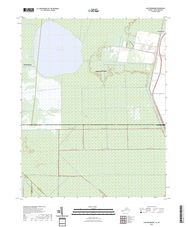 2022 Lake Drummond2022 Print · USGSThe Great Dismal Swamp and its historic waterways are preserved here at the border of Virginia and North Carolina. Trace the legacy of early engineering and timbering along Dismal Swamp Canal, S Martha Washington Ditch, and the shores of Lake Drummond.
End of results
Showing maps 1-11 of 11
Top cities of Pasquotank County
Frequently asked questions
- What are the different types of historical maps available for Pasquotank County?
- What is the oldest map of Pasquotank County?
- Where can I purchase historical maps of Pasquotank County for my home or office?
- Where can I download high-res historical maps of Pasquotank County?
- Are there historical topographic maps available for Pasquotank County?
- Is there historical aerial imagery available for Pasquotank County?
- Where are historical maps of Pasquotank County sourced from?