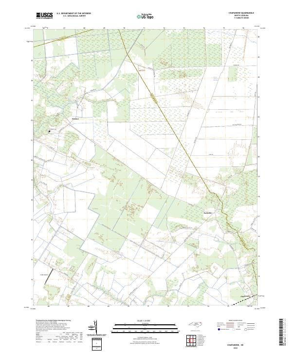
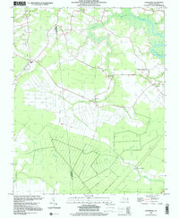
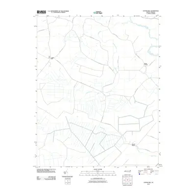
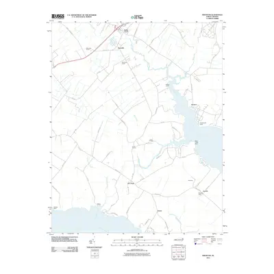
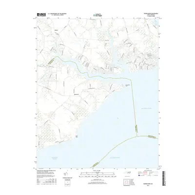
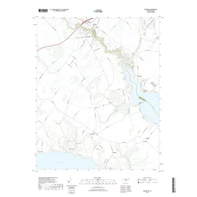
2022 Map of Chapanoke
USGS Topo · Published 2022About this map
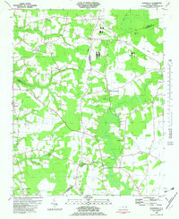
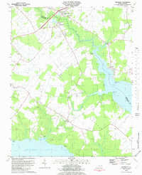
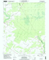
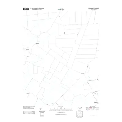
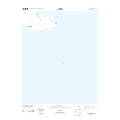
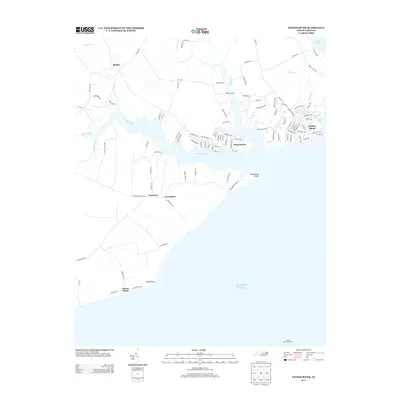
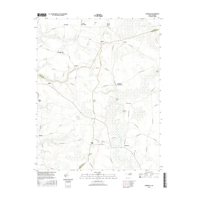
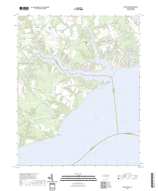
The Great Dismal Swamp dominates the northeastern landscape of this region, where the borders of Perquimans, Gates, and Pasquotank Counties converge. This 2022 survey illustrates a terrain defined by extensive wetlands and a network of rural roads that navigate the complex hydrology of the coastal plain. Small inland settlements like Nicanor and Parkville are connected by historically named thoroughfares such as Turnpike Rd and Old Dominion Rd, reflecting a landscape deeply tied to the region's agricultural and timber history. Near the headwaters of Indian Cr, the Up River Cem and Craft Airport provide specific points of interest for local history and genealogy. The southern reach of the map features Chapanoke, situated near the wetlands and drainage systems that feed into Mill Cr, showcasing the persistent rural character of North Carolina's inner banks.
Find a feature on this map
35 named features on this map. Tap any name to fly to it.
Don’t see what you’re looking for? This feature index may not catch every label — zoom into the map to look around manually.
Map Details
Editions of this 2022 Chapanoke Map
This is the sole edition of this map. No revisions or reprints were ever made.
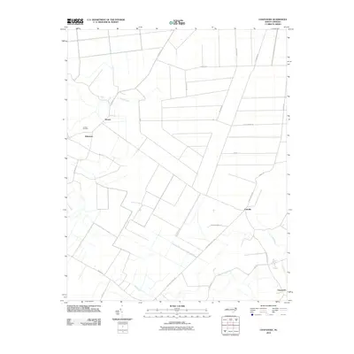
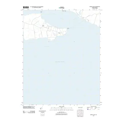
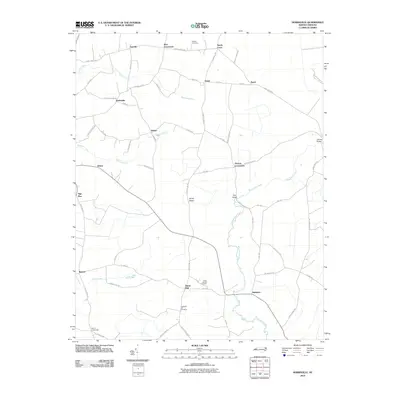
Historical Maps of Nicanor Through Time
46 maps found
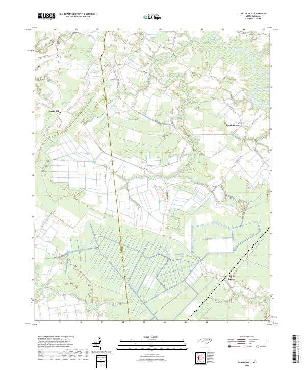
1982 Center Hill
Perquimans County, NC
1982 Chapanoke
Perquimans County, NC
1982 Harvey
Perquimans County, NC
1982 Hobbsville
Perquimans County, NC
1982 Nixonton
Perquimans County, NC
1982 Stevenson Point
Perquimans County, NC
1982 Yeopim River
Perquimans County, NC
1997 Center Hill
Perquimans County, NC
1997 Chapanoke
Perquimans County, NC
1997 Hobbsville
Perquimans County, NC
1997 Stevenson Point
Perquimans County, NC
2010 Center Hill
Perquimans County, NC
2010 Chapanoke
Perquimans County, NC
2010 Harvey Neck
Perquimans County, NC
2010 Hobbsville
Perquimans County, NC
2010 Nixonton
Perquimans County, NC
2010 Stevenson Point
Perquimans County, NC
2010 Yeopim River
Perquimans County, NC
2013 Center Hill
Perquimans County, NC
2013 Chapanoke
Perquimans County, NC
2013 Harvey Neck
Perquimans County, NC
2013 Hobbsville
Perquimans County, NC
2013 Nixonton
Perquimans County, NC
2013 Stevenson Point
Perquimans County, NC
2013 Yeopim River
Perquimans County, NC
2016 Center Hill
Perquimans County, NC
2016 Chapanoke
Perquimans County, NC
2016 Harvey Neck
Perquimans County, NC
2016 Hobbsville
Perquimans County, NC
2016 Nixonton
Perquimans County, NC
2016 Stevenson Point
Perquimans County, NC
2016 Yeopim River
Perquimans County, NC

2019 Center Hill
Perquimans County, NC
2019 Chapanoke
Perquimans County, NC
2019 Harvey Neck
Perquimans County, NC
2019 Hobbsville
Perquimans County, NC
2019 Nixonton
Perquimans County, NC
2019 Stevenson Point
Perquimans County, NC
2019 Yeopim River
Perquimans County, NC
2022 Center Hill
Perquimans County, NC
2022 Chapanoke
Perquimans County, NC
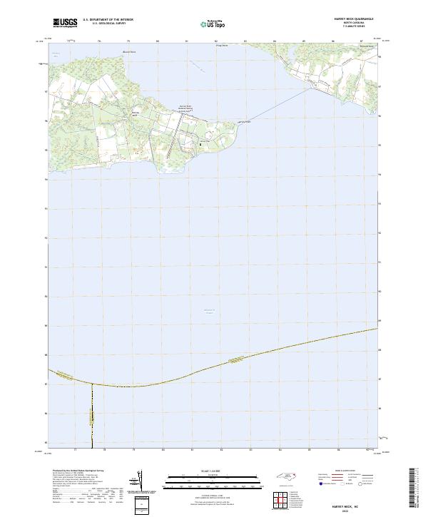
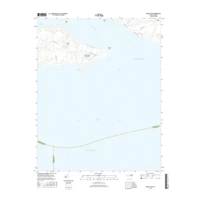
2022 Harvey Neck
Perquimans County, NC
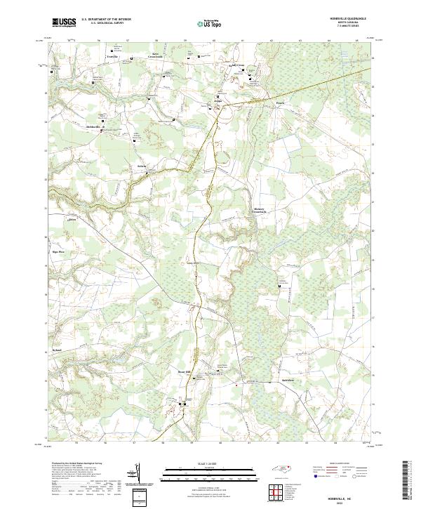
2022 Hobbsville
Perquimans County, NC
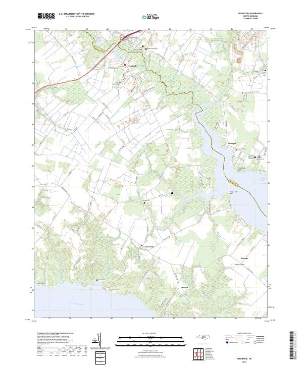
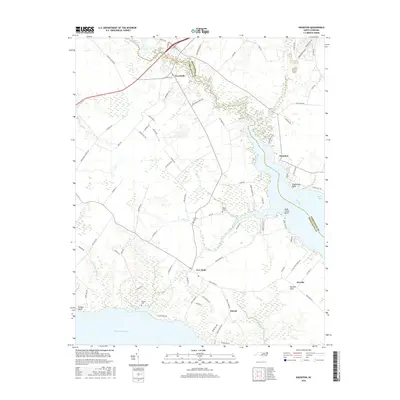
2022 Nixonton
Perquimans County, NC
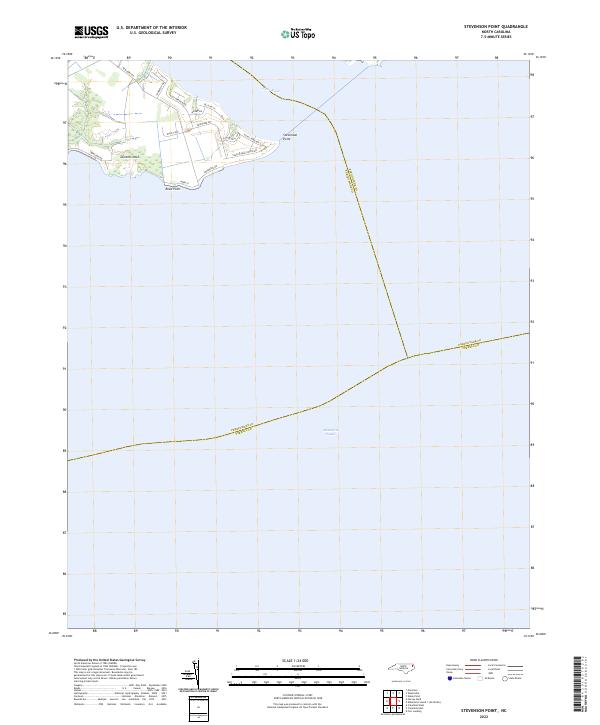
2022 Stevenson Point
Perquimans County, NC
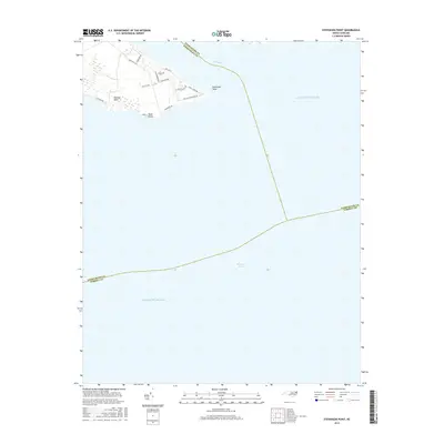
2022 Yeopim River
Perquimans County, NC