Old Maps of Grifton, North Carolina for Academic Research
Study the evolution of Grifton with 17 high-resolution historic maps. Whether you're teaching, researching, or modeling changes in land use, these maps provide essential visual documentation of urban, environmental, and geographic change.
- Analyze long-term change: Track patterns in development, transportation, and natural features.
- Ideal for environmental or urban studies: Support academic projects with primary historical map data.
- Use in the classroom or lab: Educators and researchers rely on these maps to bring historical context to life.
These maps are a powerful tool for teaching, research, and visualizing how Grifton has changed over the decades.
Grifton, NC maps
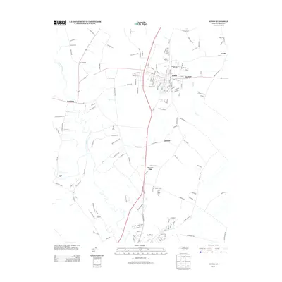
(17)- 1902 Map of Ayden, 1962 Print
 1902 Ayden1962 Print · USGSCoastal plains and swampy bottomlands at the turn of the century reveal a landscape reliant on river transport and early rail. Genealogists can trace family-named river landings like Biddle Ldg. and Pearce Ldg. or follow the Atlantic Coast Line through Ayden.2 unique versions available
 - 1904 Map of Ayden
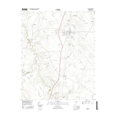
 1904 Ayden1904 Print · USGSCoastal plain life at the dawn of the twentieth century revolved around the river bends and newly laid tracks of the Atlantic Coast Line. Researchers can trace ancestral landings like Village Ldg. and Pearce Ldg. or locate vanished sites like Honolulu and Redalia.4 unique versions available
 - 1953 Map of Rocky Mount, 1964 Print
 1953 Rocky Mount1964 Print · USGSEastern North Carolina in the mid-fifties is defined by its deep river basins and the vast wetlands of the Tidewater. Genealogists can trace family roots through hubs like Kinston and New Bern or explore the wilderness of Pettigrew State Park and Lake Mattamuskeet.4 unique versions available
 - 1954 Map of Rocky Mount
 1954 Rocky Mount1954 Print · USGSEastern North Carolina is mapped in the mid-fifties, showing a landscape of sounds, swamps, and steam-era rail lines. Genealogists can trace the rural road networks and rail spurs connecting towns like Tarboro, Greenville, and the remote Columbia.
 - 1982 Map of Ayden, 1983 Print
 1982 Ayden1983 Print · USGSNorth Carolina's eastern coastal plain is captured here in the early eighties as the Seaboard Coast Line linked thriving rail towns. Genealogists and local historians can trace family roots through numerous country landmarks like Jackson Cem, Little Cr Ch, and the settlement of Hanrahan.
 - 1983 Map of Grifton
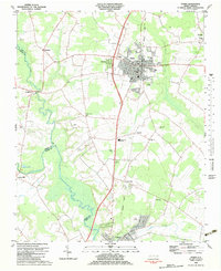
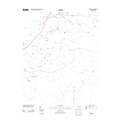
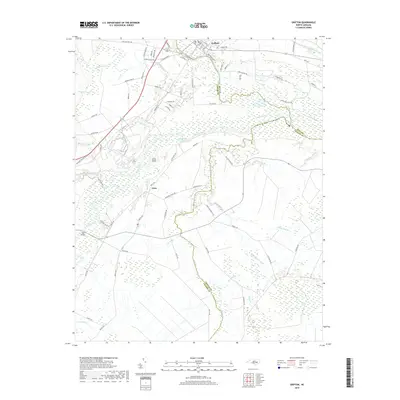
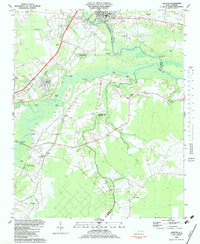 1983 Grifton1983 Print · USGSThe river-driven landscape of eastern North Carolina is captured here in the early 1980s as it spans three county lines. Genealogists can trace family roots through numerous rural landmarks like Alum Springs Ch, British Chapel, and the settlement of Tick Bite.
 - 1985 Map of Kinston
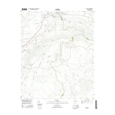
 1985 Kinston1985 Print · USGSCoastal plain life and Cold War infrastructure meet in the mid-eighties as the Neuse River winds through agricultural heartlands. Researchers can locate family landmarks like Falling Creek Cem, old milling sites such as Tulls Mill, and the massive Voice of America Radio Towers.2 unique versions available
 - 2010 Map of Ayden, 2010 Print
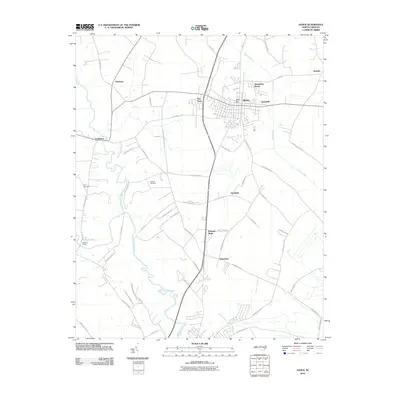 2010 Ayden2010 Print · USGSCovers Grifton, including Ayden, Winterville, and other nearby areas
 - 2010 Map of Grifton, 2010 Print
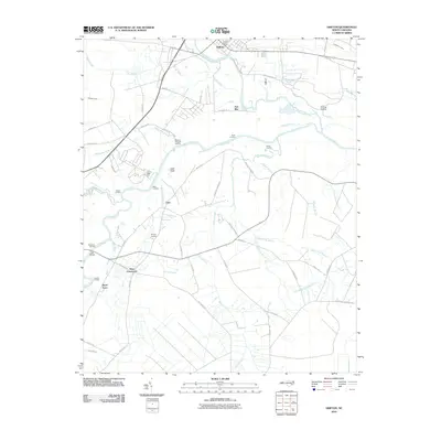 2010 Grifton2010 Print · USGSCovers Grifton, including Kinston, Closs, and other nearby areas
 - 2013 Map of Grifton, 2013 Print
 2013 Grifton2013 Print · USGSCovers Grifton, including Kinston, Closs, and other nearby areas
 - 2013 Map of Ayden, 2013 Print
 2013 Ayden2013 Print · USGSCovers Grifton, including Ayden, Winterville, and other nearby areas
 - 2016 Map of Ayden, 2016 Print
 2016 Ayden2016 Print · USGSCovers Grifton, including Ayden, Winterville, and other nearby areas
 - 2016 Map of Grifton, 2016 Print
 2016 Grifton2016 Print · USGSCovers Grifton, including Kinston, Closs, and other nearby areas
 - 2019 Map of Ayden, 2019 Print
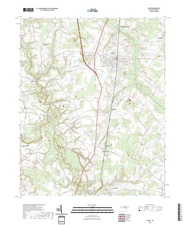
 2019 Ayden2019 Print · USGSCovers Grifton, including Ayden, Winterville, and other nearby areas
 - 2019 Map of Grifton, 2019 Print
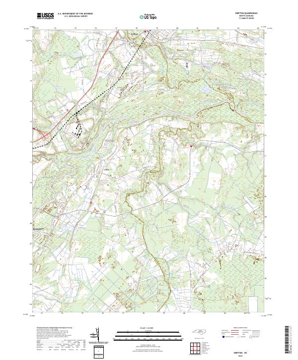
 2019 Grifton2019 Print · USGSCovers Grifton, including Kinston, Closs, and other nearby areas
 - 2022 Map of Grifton, 2022 Print
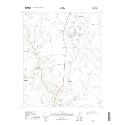
 2022 Grifton2022 Print · USGSCoastal plain hydrology and rural settlement patterns are visible in this 2020s study of the area between Grifton and Kinston. Genealogists and historians can trace family-named roads like Daughety White Rd and old waterworks including Rhem Canal and Buckleberry Canal.
 - 2022 Map of Ayden, 2022 Print
 2022 Ayden2022 Print · USGSPitt County and the surrounding coastal plain are shown in detail as they appeared recently, centered on the hub of Ayden. Genealogists and local historians can trace small communities like Scuffleton and Redallia or find family landmarks such as Jackson Cem.
End of results
Showing maps 1-17 of 17
Top cities near Grifton
- Greenville historical maps
- Kinston historical maps
- Ayden historical maps
- Winterville historical maps
- Farmville historical maps
- Snow Hill historical maps
See more
Top neighborhoods of Grifton
Frequently asked questions
- What are the different types of historical maps available for Grifton?
- What is the oldest map of Grifton?
- Where can I purchase historical maps of Grifton for my home or office?
- Where can I download high-res historical maps of Grifton?
- Are there historical topographic maps available for Grifton?
- Is there historical aerial imagery available for Grifton?
- Where are historical maps of Grifton sourced from?