Old Maps of Liberty, North Carolina for Hiking & Exploration
Hike through history with 15 historic maps of Liberty. Explore old trails, ghost towns, and forgotten backroads — perfect for outdoor adventurers and local explorers.
- Rediscover forgotten places: Map out old mining camps, roads, and footpaths that no longer exist on modern maps.
- Layer with modern tools: Combine with LiDAR or satellite views to plan hikes through historical terrain.
- Made for exploration: Popular among hikers, overlanders, and local history lovers.
Use these maps to find adventure and explore the hidden past of Liberty.
Liberty, NC maps
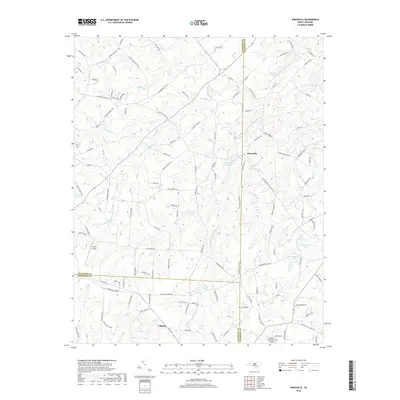
(15)- 1953 Map of Raleigh, 1965 Print
 1953 Raleigh1965 Print · USGSCentral North Carolina in the early sixties shows a landscape of growing towns and military hubs before the full expansion of the interstate system. Genealogists can trace family footprints across the Piedmont through Wake Forest, Siler City, and the large Fort Bragg Military Reservation.4 unique versions available
 - 1954 Map of Raleigh
 1954 Raleigh1954 Print · USGSThe North Carolina Piedmont and Sandhills are captured in the mid-fifties during a period of steady regional growth. Genealogists and historians can trace the development of towns like Siler City or locate landmarks such as Falls of Neuse and Camp Mackall.
 - 1970 Map of Kimesville, 1973 Print
 1970 Kimesville1973 Print · USGSThe rural tri-county border area of Guilford, Alamance, and Randolph was a landscape of small churches and local airfields in the early 1970s. Researchers can trace family sites like Greene Sch and the Hornaday Pleasant Union Ch Cem or locate Causey Airfield.2 unique versions available
 - 1974 Map of Liberty, 1977 Print
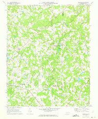
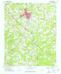 1974 Liberty1977 Print · USGSRandolph County in the 1970s remains a landscape of traditional crossroads communities and rural churches centered on Liberty and Staley. Genealogists and local historians can trace family locations through sites like Old Mc Masters Cem, Fairview Cem, and the Eastern Randolph High Sch.
 - 1984 Map of Chapel Hill, 1985 Print
 1984 Chapel Hill1985 Print · USGSNorth Carolina’s Piedmont and the northern reaches of the Uwharrie Mountains are captured here in the mid-eighties. Genealogists can trace family roots through rural landmarks like Union Chapel or locate old rail stops along the Seaboard line.
 - 2010 Map of Kimesville, 2010 Print
 2010 Kimesville2010 Print · USGSCovers Liberty, including Kimesville, Guilford County, and other nearby areas
 - 2010 Map of Liberty, 2010 Print
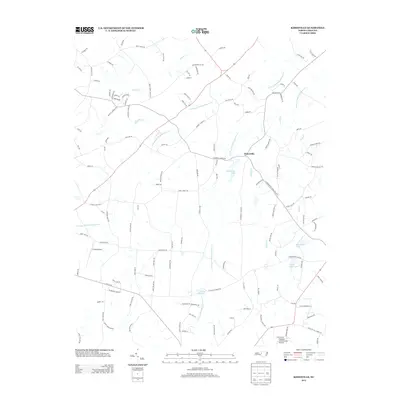
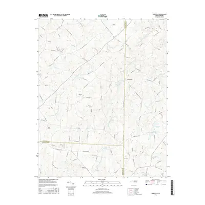
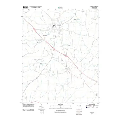 2010 Liberty2010 Print · USGSCovers Liberty, including Staley, Alamance County, and other nearby areas
 - 2013 Map of Liberty, 2013 Print
 2013 Liberty2013 Print · USGSCovers Liberty, including Staley, Alamance County, and other nearby areas
 - 2013 Map of Kimesville, 2013 Print
 2013 Kimesville2013 Print · USGSCovers Liberty, including Kimesville, Guilford County, and other nearby areas
 - 2016 Map of Kimesville, 2016 Print
 2016 Kimesville2016 Print · USGSCovers Liberty, including Kimesville, Guilford County, and other nearby areas
 - 2016 Map of Liberty, 2016 Print
 2016 Liberty2016 Print · USGSCovers Liberty, including Staley, Alamance County, and other nearby areas
 - 2019 Map of Liberty, 2019 Print
 2019 Liberty2019 Print · USGSCovers Liberty, including Staley, Alamance County, and other nearby areas
 - 2019 Map of Kimesville, 2019 Print
 2019 Kimesville2019 Print · USGSCovers Liberty, including Kimesville, Guilford County, and other nearby areas
 - 2022 Map of Kimesville, 2022 Print
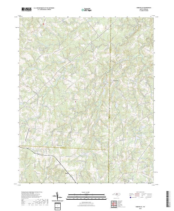 2022 Kimesville2022 Print · USGSThe rural crossroads where Guilford, Alamance, and Randolph counties meet are captured here in the early twenty-first century. Genealogists and local historians can trace family land via Coble Church Rd or explore water landmarks like Staley Mill Lake and Kimesville Lake.
 - 2022 Map of Liberty, 2022 Print
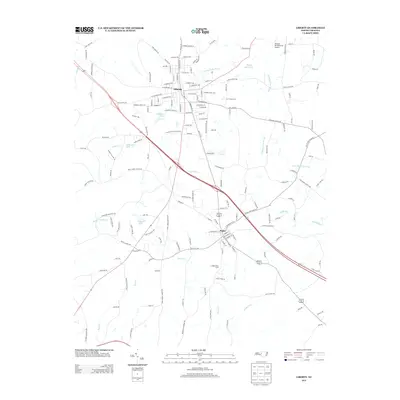
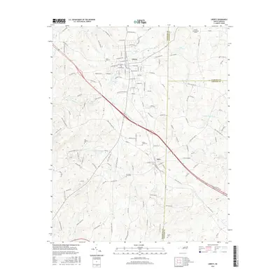
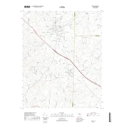
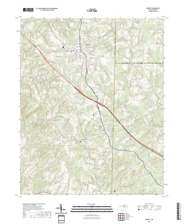 2022 Liberty2022 Print · USGSIn the early twenty-first century, the borderlands of Randolph and Chatham counties remain defined by the historic hubs of Liberty and Staley. Researchers can trace family history through several sites like Old McMasters Cem and the Old Shady Grove Cem along the Rocky River.
End of results
Showing maps 1-15 of 15
Top cities near Liberty
- Greensboro historical maps
- Burlington historical maps
- Asheboro historical maps
- Graham historical maps
- Gibsonville historical maps
- Siler City historical maps
See more
Frequently asked questions
- What are the different types of historical maps available for Liberty?
- What is the oldest map of Liberty?
- Where can I purchase historical maps of Liberty for my home or office?
- Where can I download high-res historical maps of Liberty?
- Are there historical topographic maps available for Liberty?
- Is there historical aerial imagery available for Liberty?
- Where are historical maps of Liberty sourced from?