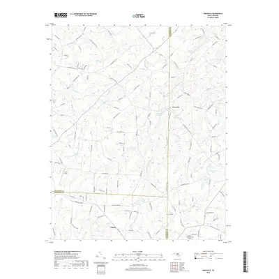
2019 Map of Kimesville
USGS Topo · Published 2019About this map
The town of Liberty anchors the southern portion of this landscape, situated near the meeting point of three counties where the rural character of the Piedmont is defined by winding creeks and aviation outposts. Two local airstrips, Causey Airport and Hinshaw (Greenacres) Airport, speak to the regional importance of private flight in this part of North Carolina. To the north, the community of Kimesville sits near the headwaters of several streams, most notably the North and South Prongs of Stinking Quarter Creek.
Find a feature on this map
116 named features on this map. Tap any name to fly to it.
Don’t see what you’re looking for? This feature index may not catch every label — zoom into the map to look around manually.
Map Details
Editions of this 2019 Kimesville Map
This is the sole edition of this map. No revisions or reprints were ever made.
Other maps of this area

1952 · Mc Leansville
USGS Topo · 1:24,000

1953 · Raleigh
USGS Topo · 1:250,000

1953 · Greensboro
USGS Topo · 1:250,000

1954 · Greensboro
USGS Topo · 1:250,000

1954 · Raleigh
USGS Topo · 1:250,000

1962 · Greensboro
USGS Topo · 1:250,000

1966 · Greensboro
USGS Topo · 1:250,000

1969 · Burlington
USGS Topo · 1:24,000

1970 · Gibsonville
USGS Topo · 1:24,000

1970 · Kimesville
USGS Topo · 1:24,000