2000s (21st Century) Maps of Trinity, North Carolina
Explore 21 historic maps of Trinity from the 2000s (21st Century). These maps offer a rare glimpse into what life looked like during the 2000s — showing old roads, neighborhoods, homes, and landmarks that have changed or disappeared over time.
Whether you're researching your family's past, planning a metal detecting trip, or studying how Trinity's landscape evolved across the 2000s, these high-resolution maps are a powerful tool for exploring the history of this region.
- Focus on a specific era: All maps on this page are from the 2000s, giving you a focused view of this time period.
- See what’s changed: Compare century-old streets, trails, and buildings to today's modern landscape using overlays and satellite layers.
- Research with precision: Use these maps for genealogy, historical research, land use analysis, or educational projects.
- View, download, or print: Maps are fully viewable online in high resolution, and can be downloaded or printed for your own records.
Start exploring Trinity's history through authentic maps from the 2000s. This is your window into the past.
Trinity, NC maps
(21)- 2002 Map of High Point East, 2004 Print
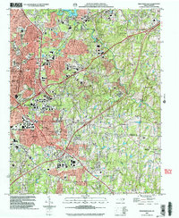 2002 High Point East2004 Print · USGSHigh Point and its surrounding suburbs were in a phase of significant modern growth at the turn of the millennium. Researchers can trace the development of High Point University and find local landmarks like Green Hill Cem, Freeman Mill, and the community of Archdale.
 - 2010 Map of Fair Grove, 2010 Print
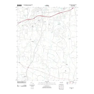 2010 Fair Grove2010 Print · USGSDavidson County at the dawn of the 2010s shows a landscape of clustered hamlets and private airfields connected by winding Piedmont roads. Genealogists and local historians can trace family-named sites from Holly Hill Cemetery to the old settlement at Fuller Mill.
 - 2010 Map of High Point West, 2010 Print
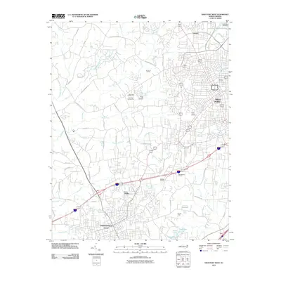 2010 High Point West2010 Print · USGSThe growing corridor between Thomasville and High Point is captured here during the first decade of the 2000s. Local researchers can pinpoint residential growth near Erwin Heights, trace regional water patterns at Oak Hollow Lake, and locate community landmarks like Spring Hill Cemetery.
 - 2010 Map of High Point East, 2010 Print
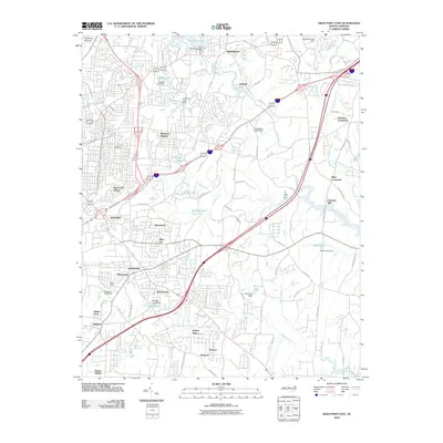 2010 High Point East2010 Print · USGSGuilford County underwent significant growth in the decade leading up to 2010, blending historic river settlements with modern residential expansion. Researchers can trace ancestral locations near Green Hill Cemetery or explore the sites of Freeman Mill and Miles Crossroad.
 - 2010 Map of Glenola, 2010 Print
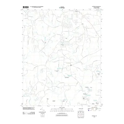 2010 Glenola2010 Print · USGSThe North Carolina Piedmont in the early 2000s reflects a landscape shaped by rural roots and sprawling recreation camps. Researchers can trace land ownership and legacy sites near Shepherd Mountain or explore the many camp sites like Camp Keyauwee and Mundo Vista.
 - 2013 Map of High Point East, 2013 Print
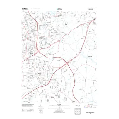 2013 High Point East2013 Print · USGSGuilford and Randolph counties show a unique mix of suburban development and rural heritage in this early twenty-first-century survey. Genealogists and local historians can trace legacy sites like Freeman Mill and Darr Field Airport alongside established communities like Jamestown and Archdale.
 - 2013 Map of Glenola, 2013 Print
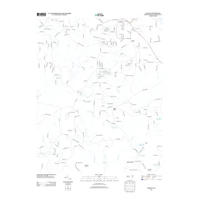 2013 Glenola2013 Print · USGSRandolph County south of Archdale shows a landscape of Piedmont ridges and rural retreats in the early 2010s. Researchers can trace the development of small communities like Edgar and Flint Hill, or locate recreational landmarks such as Camp Keyauwee and Shepherd Mountain.
 - 2013 Map of Fair Grove, 2013 Print
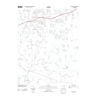 2013 Fair Grove2013 Print · USGSDavidson County's residential and rural landscape is shown here as it appeared in the early 2010s. Researchers can locate family-named communities and crossroads like Gordontown, Johnsontown, and Fullerdale while tracing the course of the Little Uwharrie River.
 - 2013 Map of High Point West, 2013 Print
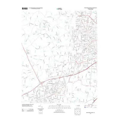 2013 High Point West2013 Print · USGSHigh Point and its western suburbs in the early 2010s show a landscape of growing residential developments and managed water resources. Researchers can trace local landmarks like Hasty School Rd, the Uwharrie River, and neighborhoods such as Erwin Heights.
 - 2016 Map of High Point East, 2016 Print
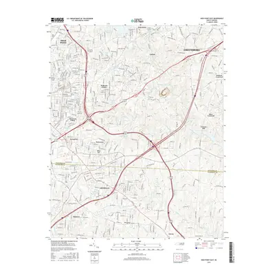 2016 High Point East2016 Print · USGSThe Greensboro and High Point periphery is shown here during a period of significant regional growth and suburban infill. Trace the evolution of local landmarks from High Point Univ to historic crossroads like Freeman Mill and Kirkman Crossroad.
 - 2016 Map of Glenola, 2016 Print
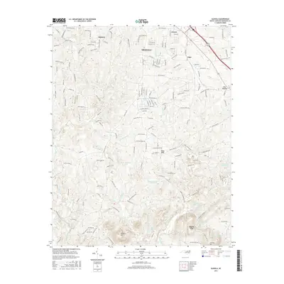 2016 Glenola2016 Print · USGSRandolph County's northern Piedmont landscape comes into focus here during a period of suburban expansion and rural preservation. Genealogists and local historians can trace the development of Trinity and Archdale or locate landmarks like Shepherd Mtn and the community of Edgar.
 - 2016 Map of Fair Grove, 2016 Print
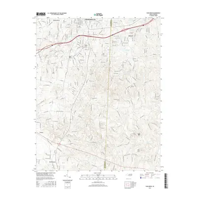 2016 Fair Grove2016 Print · USGSDavidson and Randolph Counties are shown here during a period of modern residential growth amidst deep-rooted Piedmont settlements. Researchers can locate historic community centers like Fair Grove, Fuller Mill, and burial sites including Andrews Grove Cem.
 - 2016 Map of High Point West, 2016 Print
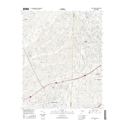 2016 High Point West2016 Print · USGSHigh Point and Thomasville are captured here during a period of modern expansion at the Davidson and Guilford county lines. Researchers can trace the layout of longtime neighborhoods and landmarks like Spring Hill Cem, Erwin Heights, and Oakview.
 - 2019 Map of Glenola, 2019 Print
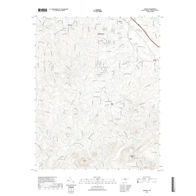 2019 Glenola2019 Print · USGSRandolph County's northern hills are shown here during a period of modern growth near the Uwharrie River. Genealogists and hikers can trace local landmarks like Shepherd Mtn, Mt Gilead Church, and the historic crossroads of Edgar and New Market.
 - 2019 Map of Fair Grove, 2019 Print
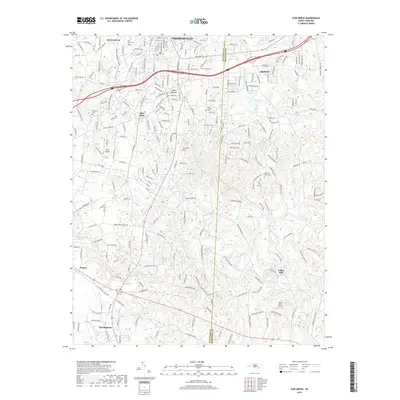 2019 Fair Grove2019 Print · USGSDavidson and Randolph Counties are captured here during a period of modern growth among established rural crossroads. Genealogists can locate family sites near Mills Home Cem, Fuller Mill, and the many small communities like Glen Anna and Walser.
 - 2019 Map of High Point West, 2019 Print
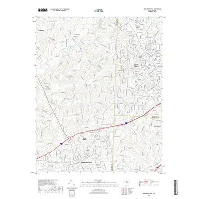 2019 High Point West2019 Print · USGSThe North Carolina Piedmont is shown here in detail during its modern period of growth between the cities of Thomasville and High Point. Researchers can trace local landmarks like Floral Garden Cem, the Uwharrie River, and the established neighborhoods of Erwin Heights.
 - 2019 Map of High Point East, 2019 Print
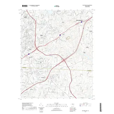 2019 High Point East2019 Print · USGSThe growing urban corridor between High Point and Greensboro is shown here in the late 2010s. Researchers can trace the modern boundaries of neighborhoods like Bakertown, find the High Point University campus, and locate quiet landmarks like Freeman Mill.
 - 2022 Map of High Point East, 2022 Print
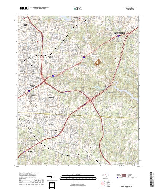 2022 High Point East2022 Print · USGSThe High Point and Greensboro suburbs come into focus in the early 2020s, showing the intersection of local industry and education. Genealogists can trace family sites at Green Hill Cem or locate the historic Freeman Mill and Hayworth Spring.
 - 2022 Map of Glenola, 2022 Print
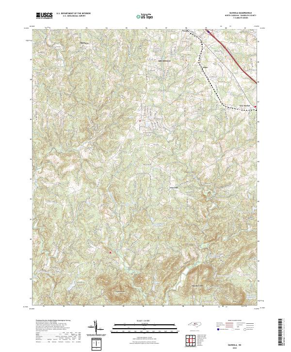 2022 Glenola2022 Print · USGSModern Randolph County meets its deep-rooted rural character in this study of the Archdale and Trinity area. Researchers can trace the drainage of the Little Uwharrie River and find community landmarks like Hopewell Ch and the heights of Shepherd Mtn.
 - 2022 Map of High Point West, 2022 Print
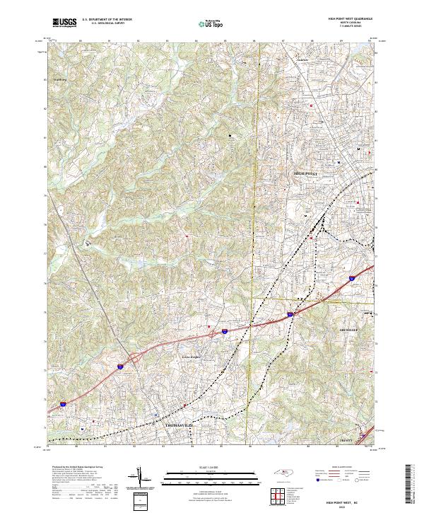 2022 High Point West2022 Print · USGSThe Piedmont tri-county corner comes alive in this survey of the urban corridor between Thomasville and High Point. Researchers can trace the development of Thomasville and Archdale or locate family plots in Oakwood Cem and Floral Garden Cem.
 - 2022 Map of Fair Grove, 2022 Print
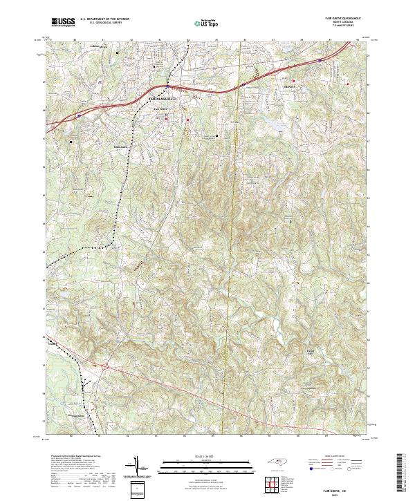 2022 Fair Grove2022 Print · USGSThe Davidson and Randolph county border comes into focus in this recent survey of the North Carolina Piedmont. Researchers can trace family roots through the Fair Grove Methodist Church Cem, find the namesake Fuller Mill, and explore the growth of Thomasville.
End of results
Showing maps 1-21 of 21
Top cities near Trinity
- Greensboro historical maps
- Winston-Salem historical maps
- High Point historical maps
- Thomasville historical maps
- Asheboro historical maps
- Kernersville historical maps
See more
Top neighborhoods of Trinity
- Colonial Heights historical maps
- Stone Gables historical maps
- Steeplegate historical maps
- Trinity Townes historical maps
- Stones Throw historical maps
- Cottages at Piper Village historical maps
See more
Frequently asked questions
- What are the different types of historical maps available for Trinity?
- What is the oldest map of Trinity?
- Where can I purchase historical maps of Trinity for my home or office?
- Where can I download high-res historical maps of Trinity?
- Are there historical topographic maps available for Trinity?
- Is there historical aerial imagery available for Trinity?
- Where are historical maps of Trinity sourced from?