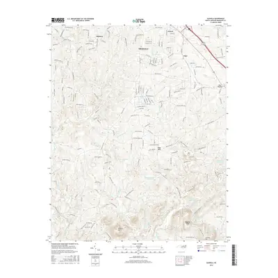
2016 Map of Glenola
USGS Topo · Published 2016About this map
The Uwharrie River and its tributary, the Little Uwharrie River, define the drainage patterns of this Randolph County landscape as it appeared in the mid-2010s. The northern portion of the map is characterized by the expanding suburban footprints of Trinity and Archdale, where a dense network of residential roads like Valley Forge Dr and Roselee Dr has replaced former agricultural fields.
Find a feature on this map
162 named features on this map. Tap any name to fly to it.
Don’t see what you’re looking for? This feature index may not catch every label — zoom into the map to look around manually.
Map Details
Editions of this 2016 Glenola Map
This is the sole edition of this map. No revisions or reprints were ever made.
Other maps of this area

1949 · High Point West
USGS Topo · 1:24,000

1950 · High Point East
USGS Topo · 1:24,000

1951 · High Point East
USGS Topo · 1:24,000

1951 · Fair Grove
USGS Topo · 1:24,000

1953 · Raleigh
USGS Topo · 1:250,000

1953 · Charlotte
USGS Topo · 1:250,000

1954 · Charlotte
USGS Topo · 1:250,000

1954 · Raleigh
USGS Topo · 1:250,000

1957 · Denton
USGS Topo · 1:62,500

1957 · Asheboro
USGS Topo · 1:62,500