Old Maps of Kingdale, North Carolina for Hiking & Exploration
Hike through history with 11 historic maps of Kingdale. Explore old trails, ghost towns, and forgotten backroads — perfect for outdoor adventurers and local explorers.
- Rediscover forgotten places: Map out old mining camps, roads, and footpaths that no longer exist on modern maps.
- Layer with modern tools: Combine with LiDAR or satellite views to plan hikes through historical terrain.
- Made for exploration: Popular among hikers, overlanders, and local history lovers.
Use these maps to find adventure and explore the hidden past of Kingdale.
Kingdale, NC maps
(11)- 1953 Map of Florence, 1964 Print
 1953 Florence1964 Print · USGSThe Carolina borderlands in the mid-fifties were a landscape of vast river swamps and rising rail towns. Trace the legacy of the Seaboard Air Line through Florence or explore the wetlands surrounding Lake Waccamaw and the Green Swamp.3 unique versions available
 - 1954 Map of Florence
 1954 Florence1954 Print · USGSThe Carolinas borderlands come alive in the early fifties, showing the vital rail-and-river networks of the coastal plain. Genealogists can trace family footprints across the Green Swamp or through settlements like Red Springs, Chadbourn, and McColl.
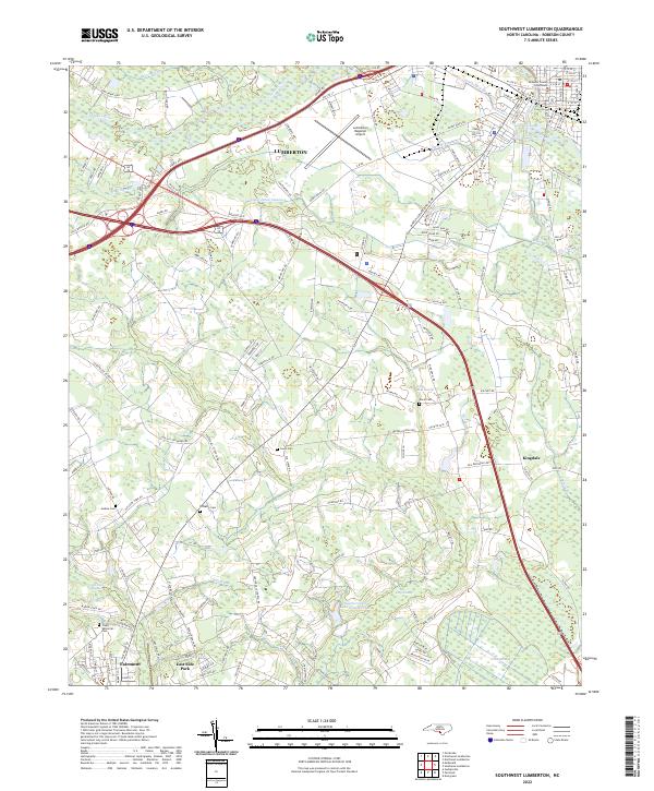
 - 1972 Map of Southwest Lumberton, 1975 Print
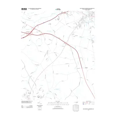
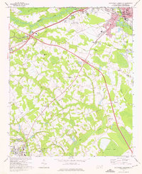 1972 Southwest Lumberton1975 Print · USGSRobeson County in the early seventies is a landscape of expansive blackwater wetlands and rural crossroads south of the county seat. Researchers can trace the heritage of local communities through landmarks like the Rosenwald Sch, Prevatte Cem, and Thompson Chapel.2 unique versions available
 - 1976 Map of Southwest Lumberton
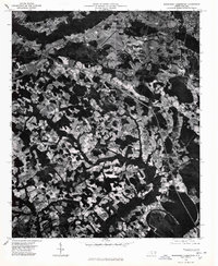 1976 Southwest Lumberton1976 Print · USGSRobeson County in the mid-seventies is captured from the air, showing the precise layout of fields and forest before modern expansion. Researchers can trace the established streets of Lumberton or find the early boundaries of East Side Park and Fairmont.
 - 1983 Map of Laurinburg, 1984 Print
 1983 Laurinburg1984 Print · USGSThe Carolina borderlands come into focus in the early 1980s, showcasing a landscape defined by the Sandhills Game Land and major river systems. Genealogists and rail historians can trace the paths of the Seaboard Coast Line Railroad through Hamlet or locate St Andrews College and Cheraw State Park.2 unique versions available
 - 1997 Map of Southwest Lumberton, 2000 Print
 1997 Southwest Lumberton2000 Print · USGSRobeson County near the South Carolina border was characterized by a mosaic of Carolina Bays and riparian swamplands at the close of the twentieth century. Genealogists can trace family names and community anchors at Rosenwald Sch, Floyd Memorial Cem, and Smyrna Ch.
 - 2010 Map of Southwest Lumberton, 2010 Print
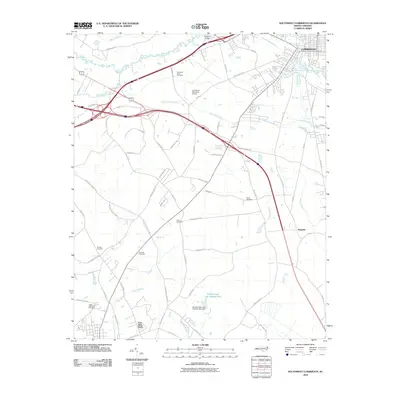 2010 Southwest Lumberton2010 Print · USGSCovers Kingdale, including Lumberton, Fairmont, and other nearby areas
 - 2013 Map of Southwest Lumberton, 2013 Print
 2013 Southwest Lumberton2013 Print · USGSCovers Kingdale, including Lumberton, Fairmont, and other nearby areas
 - 2016 Map of Southwest Lumberton, 2016 Print
 2016 Southwest Lumberton2016 Print · USGSCovers Kingdale, including Lumberton, Fairmont, and other nearby areas
 - 2019 Map of Southwest Lumberton, 2019 Print
 2019 Southwest Lumberton2019 Print · USGSCovers Kingdale, including Lumberton, Fairmont, and other nearby areas
 - 2022 Map of Southwest Lumberton, 2022 Print
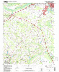
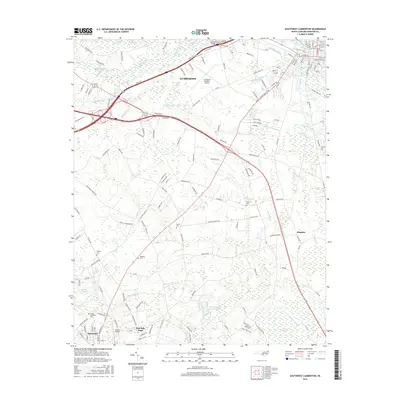
 2022 Southwest Lumberton2022 Print · USGSRobeson County in the early 2020s shows a landscape where the Lumber River lowlands meet the developed outskirts of Lumberton. Genealogists and local historians can trace family locations near Davis Cem, Jenkins Cem, and the Robeson County Courthouse.
End of results
Showing maps 1-11 of 11
Top cities near Kingdale
- Lumberton historical maps
- Fairmont historical maps
- Pembroke historical maps
- Chadbourn historical maps
- Bladenboro historical maps
- Fair Bluff historical maps
See more
Frequently asked questions
- What are the different types of historical maps available for Kingdale?
- What is the oldest map of Kingdale?
- Where can I purchase historical maps of Kingdale for my home or office?
- Where can I download high-res historical maps of Kingdale?
- Are there historical topographic maps available for Kingdale?
- Is there historical aerial imagery available for Kingdale?
- Where are historical maps of Kingdale sourced from?