Old Maps of Laurinburg, North Carolina for Metal Detecting
Plan your next treasure hunt with 35 historic maps of Laurinburg. Find old homesites, ghost towns, trails, and gathering spots that may be lost to time — perfect for identifying promising metal detecting locations.
- Locate forgotten sites: Uncover places like long-lost settlements, abandoned rail lines, or gathering spots.
- Plan better hunts: Use map overlays combined with LiDAR or satellite views to narrow in on historically rich areas.
- Made for detectorists: Thousands of hobbyists use these maps to discover relics, coins, and hidden history.
Use these historic maps to boost your research and find new opportunities beneath the surface of Laurinburg.
Laurinburg, NC maps
(35)- 1942 Map of Rockingham, 1944 Print
 1942 Rockingham1944 Print · USGSThe North Carolina and South Carolina borderlands come alive in this wartime survey of the Pee Dee River valley. Researchers can trace historic mill sites like Burnt Factory Pond or locate family landmarks such as Roberdell and Old Sneedsboro.
 - 1949 Map of Gibson, 1953 Print
 1949 Gibson1953 Print · USGSThe North Carolina and South Carolina borderlands come alive in the late 1940s, centered on the rail hub of Gibson. Trace the heritage of mill settlements and family plots like Richmond Mill, Old Hundred, and the Pate Cem.3 unique versions available
 - 1949 Map of Laurinburg, 1953 Print
 1949 Laurinburg1953 Print · USGSScotland County's rail hubs and rural townships are captured here at the peak of the post-war era. Researchers can identify family cemeteries and early local landmarks like Gibsons Mill, State Prison Camp No 610, and the Louisville Sch.
 - 1949 Map of Hamlet, 1954 Print
 1949 Hamlet1954 Print · USGSNorth Carolina's Sandhills come alive in the late 1940s, centered on the busy rail hub of Hamlet and its sprawling network of tracks. Researchers can trace numerous local schools and cemeteries, from Sneads Grove School to the Tabernacle Cemetery.2 unique versions available
 - 1949 Map of Laurinburg, 1954 Print
 1949 Laurinburg1954 Print · USGSThe mid-century landscape of Scotland County comes alive in this survey of a growing rail hub and its rural surroundings. Researchers can trace the lines of the Seaboard Air Line, locate historic institutions like Flora College, or find family landmarks such as McNeill Cem and Gaineys Place.
 - 1953 Map of Florence, 1964 Print
 1953 Florence1964 Print · USGSThe Carolina borderlands in the mid-fifties were a landscape of vast river swamps and rising rail towns. Trace the legacy of the Seaboard Air Line through Florence or explore the wetlands surrounding Lake Waccamaw and the Green Swamp.3 unique versions available
 - 1954 Map of Florence
 1954 Florence1954 Print · USGSThe Carolinas borderlands come alive in the early fifties, showing the vital rail-and-river networks of the coastal plain. Genealogists can trace family footprints across the Green Swamp or through settlements like Red Springs, Chadbourn, and McColl.
 - 1957 Map of Laurinburg, 1960 Print
 1957 Laurinburg1960 Print · USGSMid-century Scotland County centers on the rail hub of LAURINBURG, where the Seaboard Air Line and local short lines shaped the town's industrial footprint. Genealogists and local historians can trace family-named sites such as McFarland Cem, Gibson Mill, and Shaw High Sch.2 unique versions available
 - 1971 Map of Johns, 1975 Print
 1971 Johns1975 Print · USGSThe borderlands of North and South Carolina in the early seventies are captured here during a period of steady rural development. Genealogists and local historians can trace the foundations of St Andrews College or locate family sites near Stewartsville Cem and Zion Hill Ch.2 unique versions available
 - 1972 Map of Mc Coll, 1975 Print
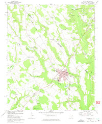 1972 Mc Coll1975 Print · USGSMarlboro County’s borderlands are shown here in the 1970s, centered on the railroad town of McColl and the agricultural hub of Tatum. Genealogists can trace family landmarks like Newton Cemetery, McLaurins Millpond, and Fletchers Chapel.2 unique versions available
 - 1976 Map of Johns, 1978 Print
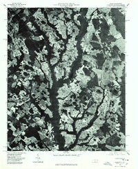 1976 Johns1978 Print · USGSScotland County's agrarian landscape is captured in the mid-seventies, showing the intersection of rural life and regional transport. Genealogists and historians can trace old property lines and farmsteads near Laurinburg, Johns, and Mc Arthur Crossroads.
 - 1976 Map of Mc Coll, 1978 Print
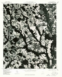 1976 Mc Coll1978 Print · USGSMarlboro County near the state line comes into sharp focus in the mid-1970s through this aerial-based survey. Researchers can trace land boundaries and farmsteads near Mc Coll and Tatum, or identify the rural junctions at Masons Crossroads.
 - 1976 Map of Gibson, 1978 Print
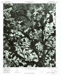 1976 Gibson1978 Print · USGSScotland County's rural landscape is frozen in time during the mid-seventies in this detailed aerial perspective. Genealogists and researchers can trace the exact footprints of settlements like Gibson and Laurel Hill or locate the shoreline of Richmond Mill Lake.
 - 1976 Map of Laurinburg, 1978 Print
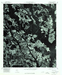 1976 Laurinburg1978 Print · USGSLaurinburg and Scotland County are captured in the mid-seventies through this detailed aerial orthophotograph. Researchers can trace the development of Laurinburg alongside the distinct communities of East Laurinburg and Sugar Hill.
 - 1983 Map of Laurinburg, 1984 Print
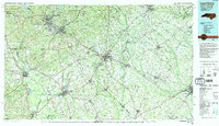 1983 Laurinburg1984 Print · USGSThe Carolina borderlands come into focus in the early 1980s, showcasing a landscape defined by the Sandhills Game Land and major river systems. Genealogists and rail historians can trace the paths of the Seaboard Coast Line Railroad through Hamlet or locate St Andrews College and Cheraw State Park.2 unique versions available
 - 2010 Map of Laurinburg, 2010 Print
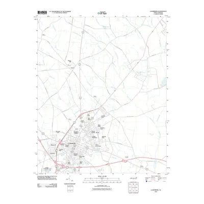 2010 Laurinburg2010 Print · USGSLaurinburg and the surrounding Scotland County countryside are shown here at the start of the decade. Genealogists and local researchers can trace dozens of neighborhoods and family burial sites including Hillside Cemetery, Gibson Mill, and McBryde Farm.
 - 2011 Map of Gibson, 2011 Print
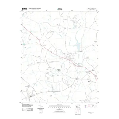 2011 Gibson2011 Print · USGSThe borderlands of the Carolinas are captured in the early twenty-first century, showing a landscape defined by milling history and ancestral cemeteries. Genealogists can trace family footprints at Livingstons Quarters, Saint Johns Cemetery, and Richmond Mill.
 - 2011 Map of McColl, 2011 Print
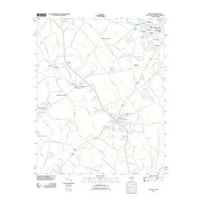 2011 McColl2011 Print · USGSThe interstate borderlands of the Carolinas are documented here just after the turn of the century, centered on the growing community of McColl. Local historians can trace family sites at Newton Cemetery or locate industrial remnants like McLaurins Millpond and the Bennettsville Lookout Tower.
 - 2011 Map of Johns, 2011 Print
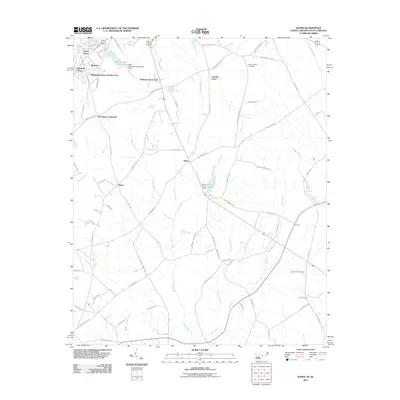 2011 Johns2011 Print · USGSCoastal plain settlements and crossroads near the South Carolina border come into focus in this recent survey. Genealogists and local historians can trace family-named routes and landmarks like Stewartsville Cemetery, Hasty, and Johns Pond.
 - 2013 Map of Johns, 2013 Print
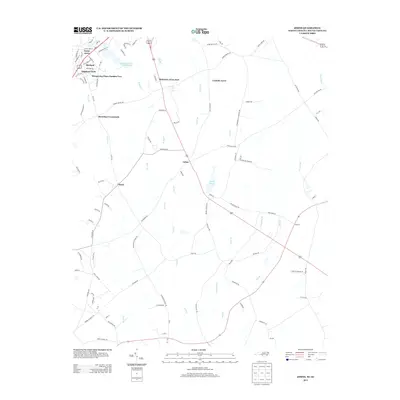 2013 Johns2013 Print · USGSThe rural landscapes and expanding residential developments near the North Carolina-South Carolina border are well-documented here. Researchers can trace local landmarks like Johns Pond, the community of Hasty, and the grounds of Saint Andrews College Lake.
 - 2013 Map of Gibson, 2013 Print
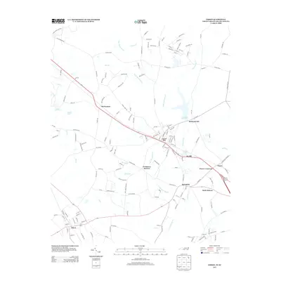 2013 Gibson2013 Print · USGSThe Scotland County borderlands near the South Carolina line are captured here in the early twenty-first century, showing the enduring industrial and agricultural layout of the region. Researchers can trace the development of textile and mill sites at Ida Mill, Richmond Mill Lake, and the community of Livingstons Quarters.
 - 2013 Map of Laurinburg, 2013 Print
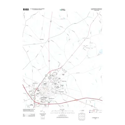 2013 Laurinburg2013 Print · USGSScotland County in the early twenty-first century showcases a landscape shaped by established neighborhoods and historic watercourses. Genealogists and local historians can trace the development of residential areas like Lincoln Heights, Sugar Hill, and East Laurinburg.
 - 2014 Map of McColl, 2014 Print
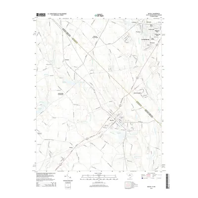 2014 McColl2014 Print · USGSThe Carolina borderlands near McColl and Tatum are captured here as they appeared in 2014. Researchers can trace the heritage of Scotland and Marlboro counties through landmarks like McLaurin PO, McNairs Millpond, and Newton Cem.
 - 2016 Map of Johns, 2016 Print
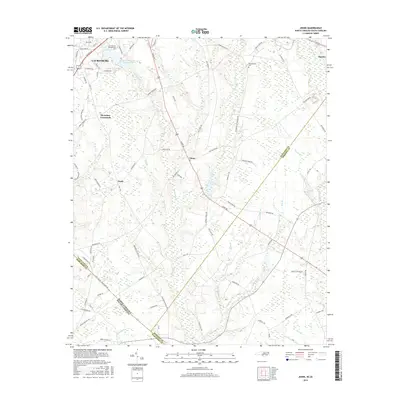 2016 Johns2016 Print · USGSScotland County's agrarian landscape is captured here in the mid-2010s as it stretches toward the South Carolina state line. Researchers can trace family sites at Stewartsville Cem or locate the community hubs of Johns, Hasty, and St Andrews Presbyterian Coll.
 - 2016 Map of Laurinburg, 2016 Print
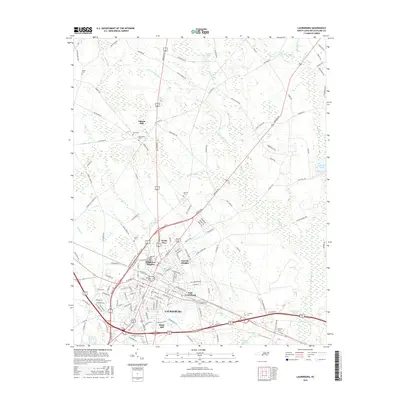 2016 Laurinburg2016 Print · USGSLaurinburg and the surrounding Scotland County landscape are documented here during a period of steady growth and community expansion. Genealogists and historians can trace family roots through several local burial sites like Snead Cem and Leach Cem, or locate the historic Gibson Mill near Leith Cr.
Showing maps 1-25 of 35
Top cities near Laurinburg
- Bennettsville historical maps
- Hamlet historical maps
- Raeford historical maps
- Maxton historical maps
- McColl historical maps
- Laurel Hill historical maps
See more
Top neighborhoods of Laurinburg
- Edgeland Park historical maps
- Macland historical maps
- Bel Air historical maps
- Scotsdale historical maps
- Carolina Park historical maps
- Sugar Hill historical maps
See more
Frequently asked questions
- What are the different types of historical maps available for Laurinburg?
- What is the oldest map of Laurinburg?
- Where can I purchase historical maps of Laurinburg for my home or office?
- Where can I download high-res historical maps of Laurinburg?
- Are there historical topographic maps available for Laurinburg?
- Is there historical aerial imagery available for Laurinburg?
- Where are historical maps of Laurinburg sourced from?