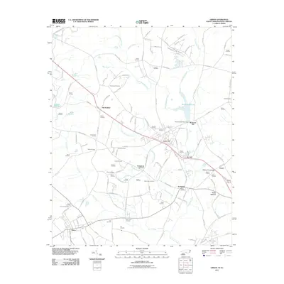
2011 Map of Gibson
USGS Topo · Published 2011About this map
Laurel Hill and Gibson anchor this landscape along the North Carolina-South Carolina border, reflecting a rural region shaped by agricultural traditions and early milling. The presence of Richmond Mill Lake and Ida Mill Pond indicates a historical reliance on the waterpower of the Gum Swamp Creek and Upper Beaverdam Creek systems. These water bodies, along with numerous family-named landmarks such as Livingstons Quarters and Elmore Crossroads, point to a deeply rooted community structure where small settlements grew around local industry and crossroads commerce.
Find a feature on this map
118 named features on this map. Tap any name to fly to it.
Don’t see what you’re looking for? This feature index may not catch every label — zoom into the map to look around manually.
Map Details
Editions of this 2011 Gibson Map
This is the sole edition of this map. No revisions or reprints were ever made.
Other maps of this area

1942 · Rockingham
USGS Topo · 1:125,000

1949 · Gibson
USGS Topo · 1:24,000

1949 · Ghio
USGS Topo · 1:24,000

1949 · Laurinburg
USGS Topo · 1:24,000

1949 · Silver Hill
USGS Topo · 1:24,000

1949 · Marston
USGS Topo · 1:24,000

1949 · Hamlet
USGS Topo · 1:24,000

1949 · Hamlet
USGS Topo · 1:62,500

1949 · Laurinburg
USGS Topo · 1:62,500

1953 · Florence
USGS Topo · 1:250,000