Old Maps of Ash Hill, North Carolina for Hiking & Exploration
Hike through history with 14 historic maps of Ash Hill. Explore old trails, ghost towns, and forgotten backroads — perfect for outdoor adventurers and local explorers.
- Rediscover forgotten places: Map out old mining camps, roads, and footpaths that no longer exist on modern maps.
- Layer with modern tools: Combine with LiDAR or satellite views to plan hikes through historical terrain.
- Made for exploration: Popular among hikers, overlanders, and local history lovers.
Use these maps to find adventure and explore the hidden past of Ash Hill.
Ash Hill, NC maps
(14)- 1891 Map of Yadkinville, 1964 Print
 1891 Yadkinville1964 Print · USGSSurry and Yadkin counties are shown here in the late nineteenth century as the river-and-rail economy began to reshape the Piedmont. Genealogists can trace family landmarks and early crossings like Kapps Mill, Poindexter Ferry, and Cross Roads Church.
 - 1893 Map of Yadkinville, 1944 Print
 1893 Yadkinville1944 Print · USGSNorthwest North Carolina at the close of the nineteenth century was a landscape of river-dependent commerce and mountain ridges. Researchers can trace the early industrial footprint of Kapps Mill, locate remote river crossings like Douglass Ford, and follow the progress of the Cape Fear and Yadkin Valley Railroad.
 - 1953 Map of Winston-Salem, 1974 Print
 1953 Winston-Salem1974 Print · USGSThe North Carolina Piedmont and Virginia highlands meet in the mid-1950s, a landscape defined by the tobacco and textile hubs of the Blue Ridge foothills. Researchers can trace the rail-and-river geography connecting Winston-Salem to mountain towns like Mount Airy and Galax.2 unique versions available
 - 1955 Map of Winston-Salem
 1955 Winston-Salem1955 Print · USGSThe Central Blue Ridge and Piedmont transition are captured here in the mid-fifties, from the industrial hub of Winston-Salem to the high peaks of Southwest Virginia. Genealogists can trace family landmarks like Richmond Hill Ch, Siloam Ch, and the old rail stops along the Southern Railway.
 - 1962 Map of Winston-Salem
 1962 Winston-Salem1962 Print · USGSThe North Carolina Piedmont meets the Virginia highlands in the early sixties, showing the rail corridors and mountain gaps of the southern Appalachians. Researchers can trace the Blue Ridge Parkway or locate family sites near Winston-Salem, Mount Airy, and Hanging Rock Mountain.
 - 1970 Map of Mount Airy South, 1973 Print
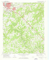 1970 Mount Airy South1973 Print · USGSThe area south of Mount Airy comes alive in this 1970s survey, showing the expansion of settlements like Bannertown and Toast along the Ararat River. Genealogists and historians can trace numerous country landmarks, including Black Water Cem, Ash Hill, and Whitakers Chapel.2 unique versions available
 - 1976 Map of Mount Airy South, 1979 Print
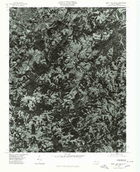 1976 Mount Airy South1979 Print · USGSSurry County communities south of the Virginia border appear in high-altitude detail during the mid-seventies. Researchers can trace the development of residential clusters like Bannertown and Toast along the winding course of the Ararat River.
 - 1984 Map of Winston-Salem, 1985 Print
 1984 Winston-Salem1985 Print · USGSThe North Carolina Piedmont in the mid-1980s shows the growth of Winston-Salem and the busy rail corridors of the Southern Railway. Genealogists and local historians can trace family-named lands and rural communities from Yadkinville to Mount Airy.2 unique versions available
 - 1996 Map of Mount Airy South, 2000 Print
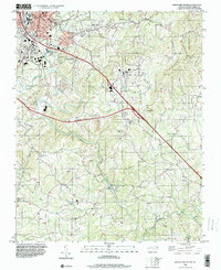 1996 Mount Airy South2000 Print · USGSSurry County experiences significant growth in the mid-1990s as new highway corridors are carved through the Ararat River valley. Genealogists can locate family landmarks at Whitakers Chapel, Boones Hill, and several country cemeteries.
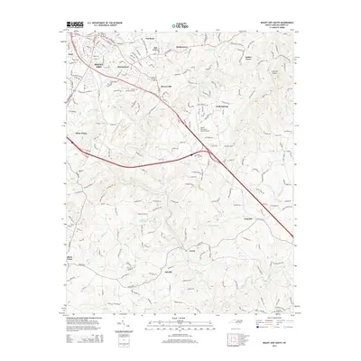
 - 2010 Map of Mount Airy South, 2010 Print
 2010 Mount Airy South2010 Print · USGSCovers Ash Hill, including Mount Airy, Ararat, and other nearby areas
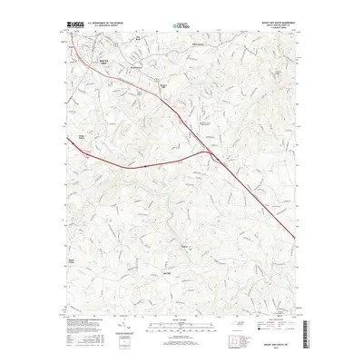
 - 2014 Map of Mount Airy South, 2014 Print
 2014 Mount Airy South2014 Print · USGSCovers Ash Hill, including Mount Airy, Ararat, and other nearby areas
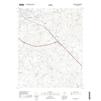
 - 2016 Map of Mount Airy South, 2016 Print
 2016 Mount Airy South2016 Print · USGSCovers Ash Hill, including Mount Airy, Ararat, and other nearby areas
 - 2019 Map of Mount Airy South, 2019 Print
 2019 Mount Airy South2019 Print · USGSCovers Ash Hill, including Mount Airy, Ararat, and other nearby areas
 - 2022 Map of Mount Airy South, 2022 Print
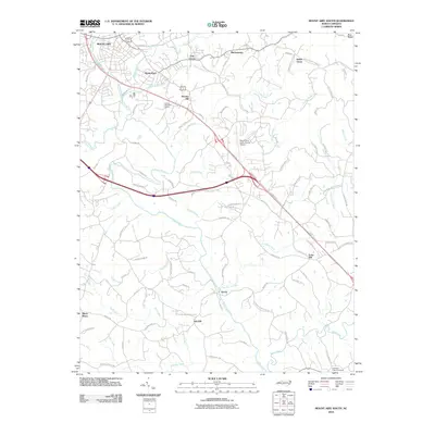
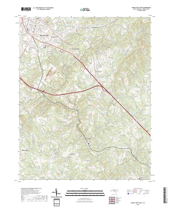 2022 Mount Airy South2022 Print · USGSSurry County communities south of the Virginia border appear in detail during the early 2020s. Local researchers can trace family landmarks and rural routes from Bannertown to Ararat, including sites like Whitakers Chapel Cem and Boones Hill.
End of results
Showing maps 1-14 of 14
Top cities near Ash Hill
- Winston-Salem historical maps
- Mount Airy historical maps
- Dobson historical maps
- Pilot Mountain historical maps
- Cana historical maps
- Boonville historical maps
See more
Frequently asked questions
- What are the different types of historical maps available for Ash Hill?
- What is the oldest map of Ash Hill?
- Where can I purchase historical maps of Ash Hill for my home or office?
- Where can I download high-res historical maps of Ash Hill?
- Are there historical topographic maps available for Ash Hill?
- Is there historical aerial imagery available for Ash Hill?
- Where are historical maps of Ash Hill sourced from?