Old Maps of Pilot Mountain, North Carolina for Hiking & Exploration
Hike through history with 17 historic maps of Pilot Mountain. Explore old trails, ghost towns, and forgotten backroads — perfect for outdoor adventurers and local explorers.
- Rediscover forgotten places: Map out old mining camps, roads, and footpaths that no longer exist on modern maps.
- Layer with modern tools: Combine with LiDAR or satellite views to plan hikes through historical terrain.
- Made for exploration: Popular among hikers, overlanders, and local history lovers.
Use these maps to find adventure and explore the hidden past of Pilot Mountain.
Pilot Mountain, NC maps
(17)- 1953 Map of Winston-Salem, 1974 Print
 1953 Winston-Salem1974 Print · USGSThe North Carolina Piedmont and Virginia highlands meet in the mid-1950s, a landscape defined by the tobacco and textile hubs of the Blue Ridge foothills. Researchers can trace the rail-and-river geography connecting Winston-Salem to mountain towns like Mount Airy and Galax.2 unique versions available
 - 1955 Map of Winston-Salem
 1955 Winston-Salem1955 Print · USGSThe Central Blue Ridge and Piedmont transition are captured here in the mid-fifties, from the industrial hub of Winston-Salem to the high peaks of Southwest Virginia. Genealogists can trace family landmarks like Richmond Hill Ch, Siloam Ch, and the old rail stops along the Southern Railway.
 - 1962 Map of Winston-Salem
 1962 Winston-Salem1962 Print · USGSThe North Carolina Piedmont meets the Virginia highlands in the early sixties, showing the rail corridors and mountain gaps of the southern Appalachians. Researchers can trace the Blue Ridge Parkway or locate family sites near Winston-Salem, Mount Airy, and Hanging Rock Mountain.
 - 1964 Map of Pinnacle, 1965 Print
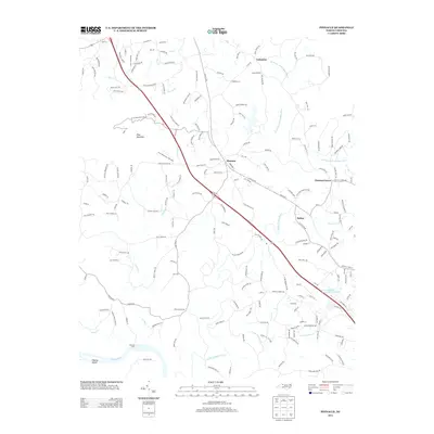
 1964 Pinnacle1965 Print · USGSStokes County at the mid-century shows a landscape defined by the towering Pilot Mountain and the Southern railroad. Trace family roots and local history at Pinnacle, Mt Moriah Ch, and the Wall Cem.4 unique versions available
 - 1964 Map of Pilot Mountain, 1965 Print
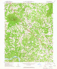
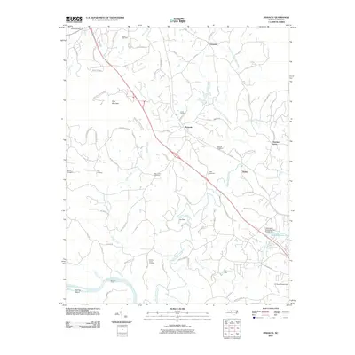
 1964 Pilot Mountain1965 Print · USGSSurry and Stokes counties meet here in the mid-sixties, anchored by the railroad town of Pilot Mountain. Genealogists and local historians can trace family lines through dozens of small cemeteries like Inman Cem and Durham Cem or visit rural landmarks like Westfield Ch.3 unique versions available
 - 1984 Map of Winston-Salem, 1985 Print
 1984 Winston-Salem1985 Print · USGSThe North Carolina Piedmont in the mid-1980s shows the growth of Winston-Salem and the busy rail corridors of the Southern Railway. Genealogists and local historians can trace family-named lands and rural communities from Yadkinville to Mount Airy.2 unique versions available
 - 1997 Map of Pilot Mountain, 2000 Print
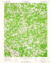
 1997 Pilot Mountain2000 Print · USGSSurry and Stokes counties meet in this late-century topographic study of the North Carolina Piedmont. Researchers can trace numerous family burial sites like Locust Grove Cemetery and Jessup Grove Cemetery, alongside landmarks like Westfield and the Fish Hatchery.
 - 2010 Map of Pilot Mountain, 2010 Print
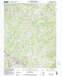
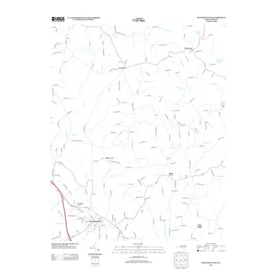
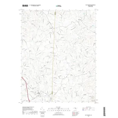
 2010 Pilot Mountain2010 Print · USGSCovers Pilot Mountain, including Flat Rock, Hills Grove, and other nearby areas
 - 2010 Map of Pinnacle, 2010 Print
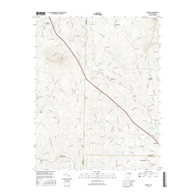
 2010 Pinnacle2010 Print · USGSCovers Pilot Mountain, including Dalton, Pinnacle, and other nearby areas
 - 2013 Map of Pilot Mountain, 2013 Print
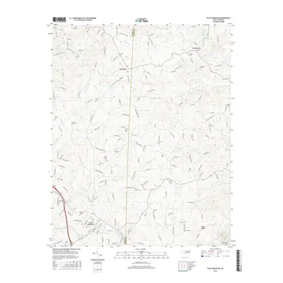
 2013 Pilot Mountain2013 Print · USGSCovers Pilot Mountain, including Flat Rock, Hills Grove, and other nearby areas
 - 2013 Map of Pinnacle, 2013 Print
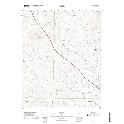
 2013 Pinnacle2013 Print · USGSCovers Pilot Mountain, including Dalton, Pinnacle, and other nearby areas
 - 2016 Map of Pilot Mountain, 2016 Print
 2016 Pilot Mountain2016 Print · USGSCovers Pilot Mountain, including Flat Rock, Hills Grove, and other nearby areas
 - 2016 Map of Pinnacle, 2016 Print
 2016 Pinnacle2016 Print · USGSCovers Pilot Mountain, including Dalton, Pinnacle, and other nearby areas
 - 2019 Map of Pinnacle, 2019 Print
 2019 Pinnacle2019 Print · USGSCovers Pilot Mountain, including Dalton, Pinnacle, and other nearby areas
 - 2019 Map of Pilot Mountain, 2019 Print
 2019 Pilot Mountain2019 Print · USGSCovers Pilot Mountain, including Flat Rock, Hills Grove, and other nearby areas
 - 2022 Map of Pinnacle, 2022 Print
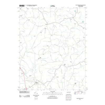
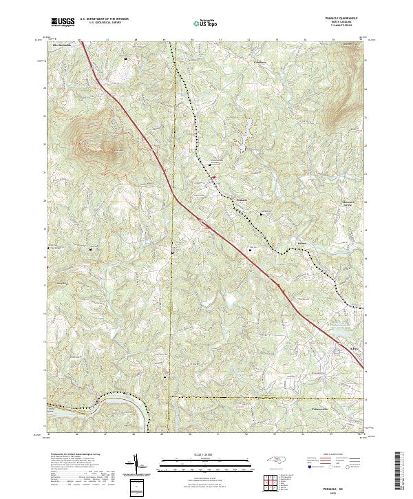 2022 Pinnacle2022 Print · USGSSurry and Stokes counties appear in their modern configuration during the 2020s, anchored by the iconic landmark of Pilot Mountain. Genealogists can trace family connections through numerous sites like Mount Zion Cemetery and Friends Union Cemetery.
 - 2022 Map of Pilot Mountain, 2022 Print
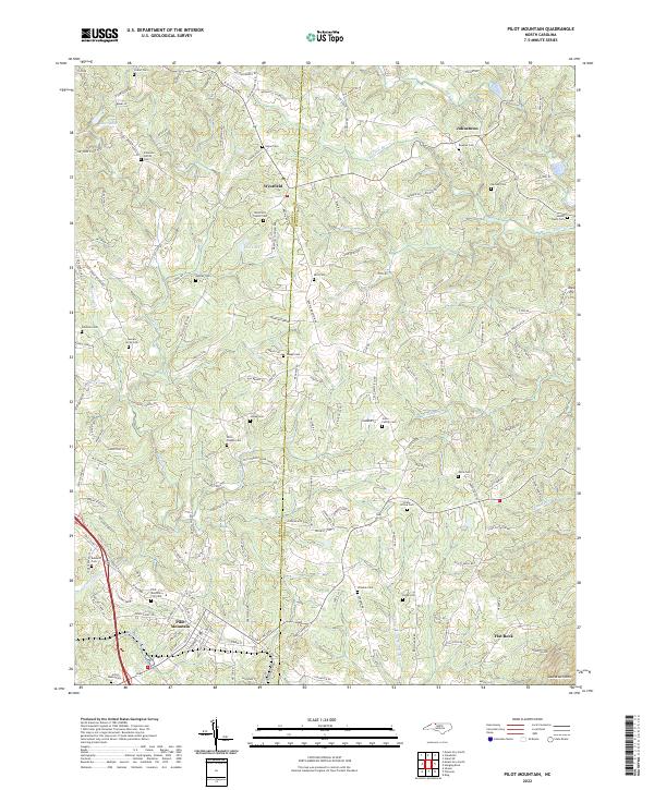 2022 Pilot Mountain2022 Print · USGSThe Surry and Stokes county line divides this North Carolina Piedmont landscape during its recent period of rural continuity. Genealogists can trace family lineages through dozens of sites like the Westfield Friends Cem, Brims Grove Cem, and the Mica Pit.
End of results
Showing maps 1-17 of 17
Top cities near Pilot Mountain
- Winston-Salem historical maps
- Lewisville historical maps
- Mount Airy historical maps
- Rural Hall historical maps
- Cana historical maps
- Boonville historical maps
See more
Frequently asked questions
- What are the different types of historical maps available for Pilot Mountain?
- What is the oldest map of Pilot Mountain?
- Where can I purchase historical maps of Pilot Mountain for my home or office?
- Where can I download high-res historical maps of Pilot Mountain?
- Are there historical topographic maps available for Pilot Mountain?
- Is there historical aerial imagery available for Pilot Mountain?
- Where are historical maps of Pilot Mountain sourced from?