2000s (21st Century) Maps of Swain County, North Carolina
Explore 113 historic maps of Swain County from the 2000s (21st Century). These maps offer a rare glimpse into what life looked like during the 2000s — showing old roads, neighborhoods, homes, and landmarks that have changed or disappeared over time.
Whether you're researching your family's past, planning a metal detecting trip, or studying how Swain County's landscape evolved across the 2000s, these high-resolution maps are a powerful tool for exploring the history of this region.
- Focus on a specific era: All maps on this page are from the 2000s, giving you a focused view of this time period.
- See what’s changed: Compare century-old streets, trails, and buildings to today's modern landscape using overlays and satellite layers.
- Research with precision: Use these maps for genealogy, historical research, land use analysis, or educational projects.
- View, download, or print: Maps are fully viewable online in high resolution, and can be downloaded or printed for your own records.
Start exploring Swain County's history through authentic maps from the 2000s. This is your window into the past.
Swain County, NC maps
(113)- 2000 Map of Thunderhead Mtn, 2001 Print
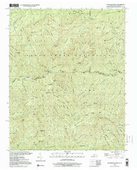 2000 Thunderhead Mtn2001 Print · USGSThe Tennessee-North Carolina border at the start of the 2000s remains a wild corridor of high-elevation gaps and remote ridges. Hikers and historians can trace the Appalachian Trail over Thunderhead Mtn and locate landmarks like Indian Flats Falls and Big Chestnut Bald.
 - 2000 Map of Silers Bald, 2001 Print
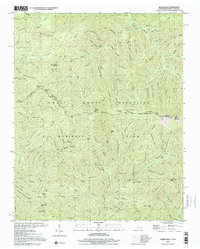 2000 Silers Bald2001 Print · USGSThe high divide of the Great Smoky Mountains is captured here at the turn of the millennium, showing the state line between Sevier County and Swain County. Hikers and historians can trace the Appalachian National Scenic Trail past Silers Bald, Double Spring Gap, and Mt Buckley.
 - 2000 Map of Hewitt, 2001 Print
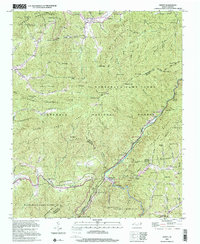 2000 Hewitt2001 Print · USGSThe high ridges of Graham and Swain counties are captured here at the turn of the millennium, showing a landscape of deep gaps and forest settlements. Genealogists and hikers can trace the Appalachian National Scenic Trail or locate remote sites like Rowlin Sch and Jenkins Cem.
 - 2000 Map of Bunches Bald, 2001 Print
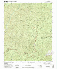 2000 Bunches Bald2001 Print · USGSThe high ridges of the Great Smoky Mountains meet the Cherokee Indian Reservation at the turn of the millennium. Local historians can trace the paths of the Blue Ridge Parkway past the Big Cove Mission and the Masonic Monument.
 - 2000 Map of Fontana Dam, 2001 Print
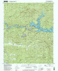 2000 Fontana Dam2001 Print · USGSThe Great Smoky Mountains and the massive Tennessee Valley Authority hydro-projects define this Graham County landscape at the start of the millennium. Researchers can trace the Appalachian Trail, locate family sites at Payne Cem, or find the Fontana Copper Mine.
 - 2000 Map of Cades Cove, 2001 Print
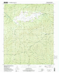 2000 Cades Cove2001 Print · USGSCades Cove at the turn of the millennium remains a significant site for tracing Appalachian homesteading and early mountain life. Researchers can locate family landmarks like the Henry Whitehead Cabin, Carter Shields Place, and several Cem sites preserved within the park.
 - 2000 Map of Mount Guyot, 2001 Print
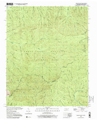 2000 Mount Guyot2001 Print · USGSThe high crest of the Smokies at the turn of the millennium remains a wilderness of named peaks and mountain trails along the state line. Trace the path of the Appalachian National Scenic Trail past Mount Guyot, Charles Bunion, and Tricorner Knob.
 - 2000 Map of Tapoco, 2001 Print
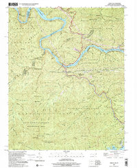 2000 Tapoco2001 Print · USGSThe North Carolina-Tennessee borderlands appear here just as the new millennium began, dominated by the dams and wilderness of the Great Smoky Mountains. Trace the routes of hydroelectric development at Che Oah Dam or find local landmarks like Bethel Ch and Beers Sch.
 - 2000 Map of Clingmans Dome, 2001 Print
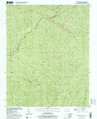 2000 Clingmans Dome2001 Print · USGSHigh atop the border of North Carolina and Tennessee in the early 2000s, this area showcases the heart of the Smokies. Trace the highest ridges of the Great Smoky Mountains National Park along the Appalachian Scenic Trail from Clingmans Dome to Newfound Gap.
 - 2000 Map of Luftee Knob, 2001 Print
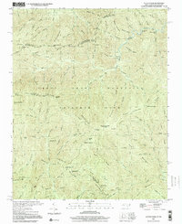 2000 Luftee Knob2001 Print · USGSThe high ridges of the Great Smokies meet at the border of North Carolina and Tennessee in this early twenty-first-century survey. Hikers and historians can trace the Appalachian Trail across Cosby Knob and locate the path of an Old Railroad Grade near Balsam High Top.
 - 2000 Map of Smokemont, 2001 Print
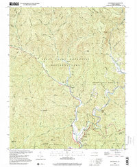 2000 Smokemont2001 Print · USGSSwain County's mountain landscape is captured at the start of the millennium, showing where the National Park and the Cherokee Indian Reservation converge. Genealogists and local researchers can trace numerous family burial sites such as Slave Cem and Nations Cem alongside landmarks like Mingo Falls.
 - 2000 Map of Calderwood, 2001 Print
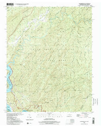 2000 Calderwood2001 Print · USGSThe Tennessee and North Carolina borderlands come into focus at the turn of the millennium, showing where the wilderness of the Smokies meets the dammed Little Tennessee River. Researchers can trace historic routes like the Cooper Road Trail or locate the Happy Valley Ch and the industrial Quarry near Calderwood.
 - 2003 Map of Calderwood, 2004 Print
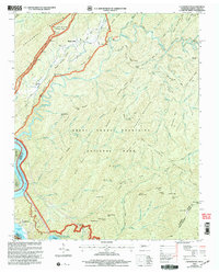 2003 Calderwood2004 Print · USGSThe Great Smoky Mountains and the Little Tennessee River valley are captured here just after the turn of the millennium. Researchers can trace the shoreline of Chilhowee Lake, locate the community of Calderwood, and find remote landmarks like Abrams Falls and Parson Bald.
 - 2010 Map of Mount Guyot, 2010 Print
 2010 Mount Guyot2010 Print · USGSThe high peaks of the Great Smoky Mountains dominate the Tennessee and North Carolina border in the early twenty-first century. Researchers can trace the source waters of the Middle Prong Little Pigeon River and locate remote landmarks like Pecks Corner and Ramsey Cascades.
 - 2010 Map of Bunches Bald, 2010 Print
 2010 Bunches Bald2010 Print · USGSThe high ridges of the Qualla Boundary are documented in the early twenty-first century, showing the intersection of parkway engineering and tribal lands. Researchers can trace the paths of the Blue Ridge Pkwy through the Big Witch Tunnel and locate sites like the Masonic Monument or Big Cove.
 - 2010 Map of Mount Le Conte, 2010 Print
 2010 Mount Le Conte2010 Print · USGSThe Great Smoky Mountains high country comes into focus in this late-era survey, detailing the rugged geography around Mount Le Conte. Researchers can trace family history through numerous remote burial sites like Proffitt Cemetery, Bales Cemetery, and Frazier Cemetery.
 - 2010 Map of Luftee Knob, 2010 Print
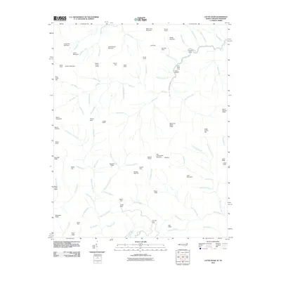 2010 Luftee Knob2010 Print · USGSHaywood County's high ridges and mountain gaps are documented in this late-era survey of the Great Smoky Mountains. Hikers and local historians can trace high-altitude landmarks like Luftee Knob, Walnut Bottom, and the cascading Mouse Creek Falls.
 - 2010 Map of Smokemont, 2010 Print
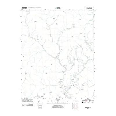 2010 Smokemont2010 Print · USGSSmokemont and the river valleys of western North Carolina are captured here in the early twenty-first century. Researchers can locate numerous family burial grounds like the Slave Cemetery and Nations Cemetery, or trace the Blue Ridge Pkwy through its mountain tunnels.
 - 2010 Map of Thunderhead Mountain, 2010 Print
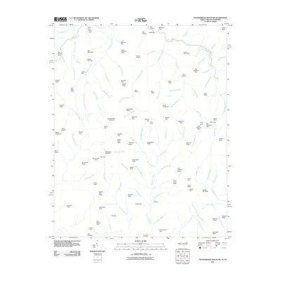 2010 Thunderhead Mountain2010 Print · USGSHigh ridges and deep coves define the Tennessee-North Carolina borderlands in the early twenty-first century. Researchers can locate remote burial sites at Bone Valley Cemetery or trace historic high-country routes through Spence Field and Hickory Tree Gap.
 - 2010 Map of Kuwohi, 2010 Print
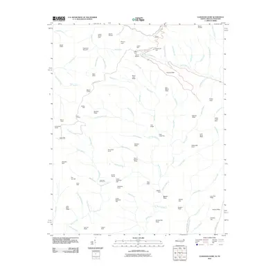 2010 Kuwohi2010 Print · USGSThe high peaks of the Great Smoky Mountains are captured here in the early twenty-first century, spanning the border between North Carolina and Tennessee. Hikers and historians can trace the paths to Bryson Place, find the Mount Collins Shelter, or locate scenic vantages like Morton Overlook.
 - 2010 Map of Cades Cove, 2010 Print
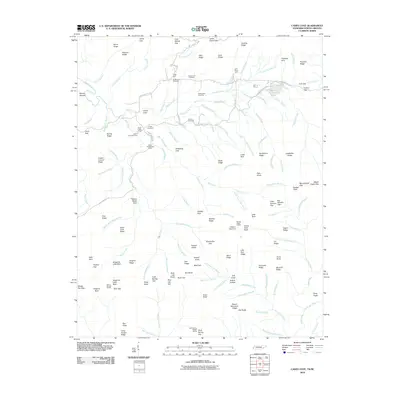 2010 Cades Cove2010 Print · USGSSettlement and preservation meet in this valley at the start of the twenty-first century. Genealogists and historians can trace family roots through Cades Cove Cemetery and the sites of the John Oliver Cabin or the Becky Cable House.
 - 2010 Map of Silers Bald, 2010 Print
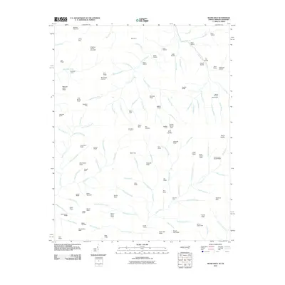 2010 Silers Bald2010 Print · USGSThe high ridges of the Great Smoky Mountains are captured here in the early twenty-first century. Researchers can trace remote landmarks and hydrology along the state line, from the Silers Bald Shelter to the distinctive Mellinger Death Ridge and the Ben Parton Lookout.
 - 2011 Map of Alarka, 2011 Print
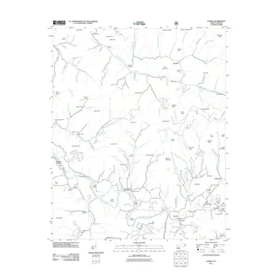 2011 Alarka2011 Print · USGSThe mountain communities of Macon County, North Carolina, are shown in this 2011 survey, featuring a landscape of steep ridges and deep coves. Genealogists can locate family sites like Brendle Cemetery or explore mining history at Sheffield Mine and Gibsons Ruby Mine.
 - 2011 Map of Greens Creek, 2011 Print
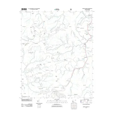 2011 Greens Creek2011 Print · USGSDillsboro and the Jackson County mountains are shown at a time when traditional rail routes and mining history met modern rural life. Genealogists and historians can trace family sites like Cagle Cemetery and old mining operations at Cherokee Mine or Ruby Mine.
 - 2011 Map of Whittier, 2011 Print
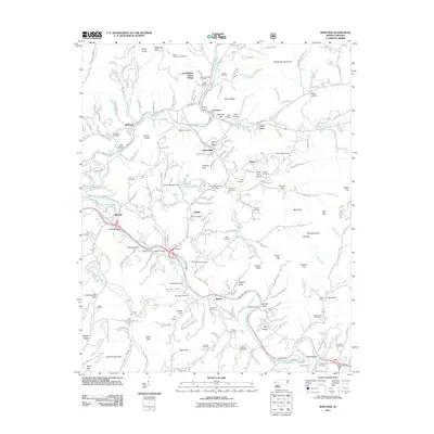 2011 Whittier2011 Print · USGSWestern North Carolina's river valleys and tribal lands are meticulously documented here in the early twenty-first century. Genealogists and historians can trace family roots through numerous cemeteries like Birdtown and Stamper, or locate landmarks such as the Oconaluftee Indian Village and Cowee Tunnel.
Showing maps 1-25 of 113
Top cities of Swain County
Frequently asked questions
- What are the different types of historical maps available for Swain County?
- What is the oldest map of Swain County?
- Where can I purchase historical maps of Swain County for my home or office?
- Where can I download high-res historical maps of Swain County?
- Are there historical topographic maps available for Swain County?
- Is there historical aerial imagery available for Swain County?
- Where are historical maps of Swain County sourced from?