2000s (21st Century) Maps of Transylvania County, North Carolina
Explore 70 historic maps of Transylvania County from the 2000s (21st Century). These maps offer a rare glimpse into what life looked like during the 2000s — showing old roads, neighborhoods, homes, and landmarks that have changed or disappeared over time.
Whether you're researching your family's past, planning a metal detecting trip, or studying how Transylvania County's landscape evolved across the 2000s, these high-resolution maps are a powerful tool for exploring the history of this region.
- Focus on a specific era: All maps on this page are from the 2000s, giving you a focused view of this time period.
- See what’s changed: Compare century-old streets, trails, and buildings to today's modern landscape using overlays and satellite layers.
- Research with precision: Use these maps for genealogy, historical research, land use analysis, or educational projects.
- View, download, or print: Maps are fully viewable online in high resolution, and can be downloaded or printed for your own records.
Start exploring Transylvania County's history through authentic maps from the 2000s. This is your window into the past.
Transylvania County, NC maps
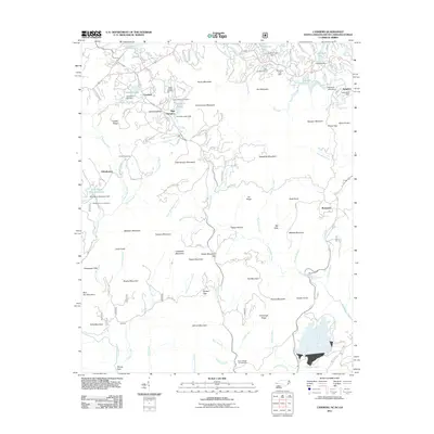
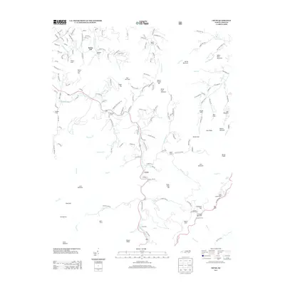
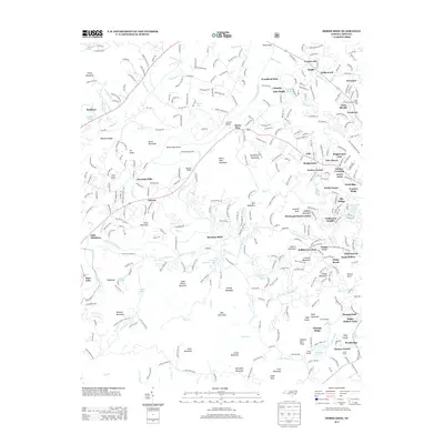
(70)- 2011 Map of Rosman, 2011 Print
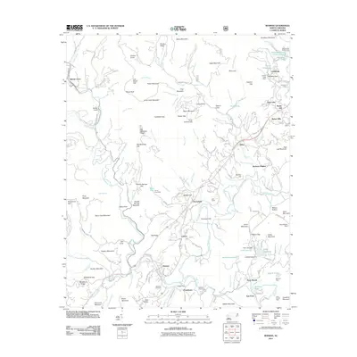 2011 Rosman2011 Print · USGSCovers Transylvania County, including Brevard, Rosman, and other nearby areas
 - 2011 Map of Shining Rock, 2011 Print
 2011 Shining Rock2011 Print · USGSCovers Transylvania County, including Big East Fork, Haywood County, and other nearby areas
 - 2011 Map of Dunsmore Mountain, 2011 Print
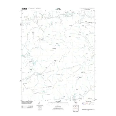
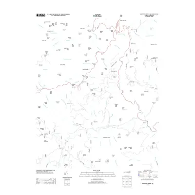
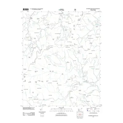 2011 Dunsmore Mountain2011 Print · USGSCovers Transylvania County, including Bent Creek, Stony Fork, and other nearby areas
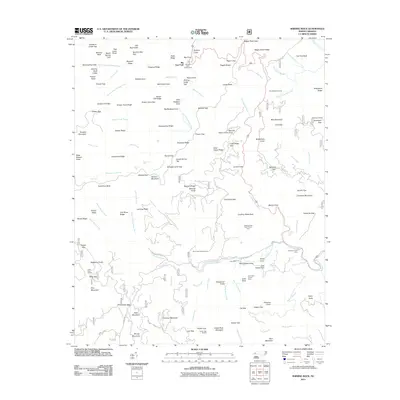
 - 2011 Map of Horse Shoe, 2011 Print
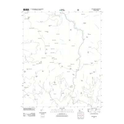
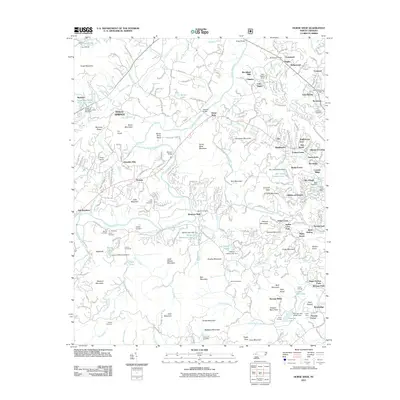 2011 Horse Shoe2011 Print · USGSCovers Transylvania County, including Hendersonville, Mills River, and other nearby areas
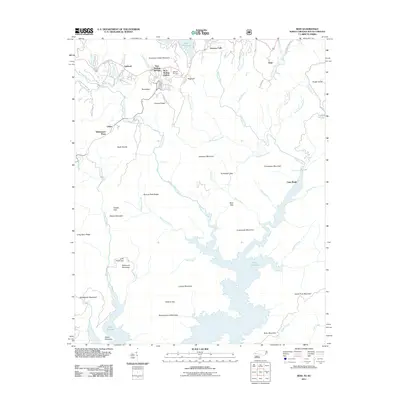
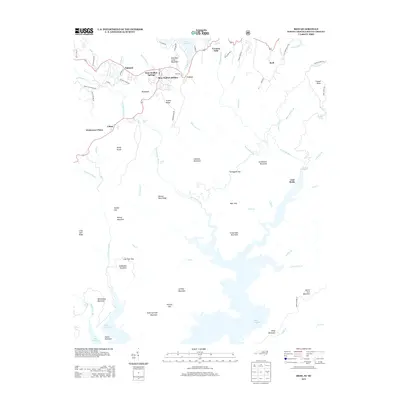
 - 2011 Map of Lake Toxaway, 2011 Print
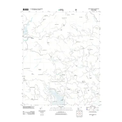 2011 Lake Toxaway2011 Print · USGSCovers Transylvania County, including Quebec, Wolf Ridge, and other nearby areas
 - 2011 Map of Cruso, 2011 Print
 2011 Cruso2011 Print · USGSCovers Transylvania County, including Cruso, Spring Hill, and other nearby areas
 - 2011 Map of Sam Knob, 2011 Print
 2011 Sam Knob2011 Print · USGSCovers Transylvania County, including Haywood County, Jackson County, and other nearby areas
 - 2011 Map of Pisgah Forest, 2011 Print
 2011 Pisgah Forest2011 Print · USGSCovers Transylvania County, including Brevard, Mills River, and other nearby areas
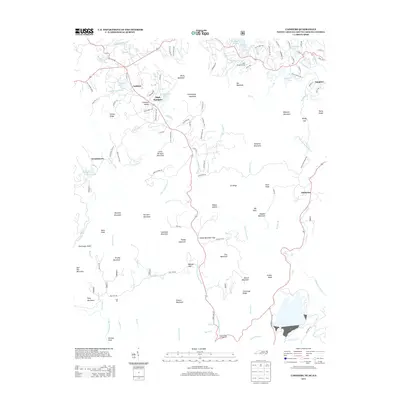
 - 2011 Map of Cashiers, 2011 Print
 2011 Cashiers2011 Print · USGSCovers Transylvania County, including Cashiers, Sapphire, and other nearby areas
 - 2011 Map of Eastatoe Gap, 2011 Print
 2011 Eastatoe Gap2011 Print · USGSCovers Transylvania County, including Line Runner Ridge, Middle Fork, and other nearby areas
 - 2011 Map of Standingstone Mountain, 2011 Print
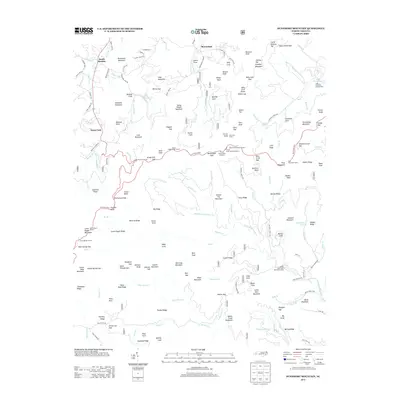
 2011 Standingstone Mountain2011 Print · USGSCovers Transylvania County, including Jeter Mountain Terrace, Greenville County, and other nearby areas
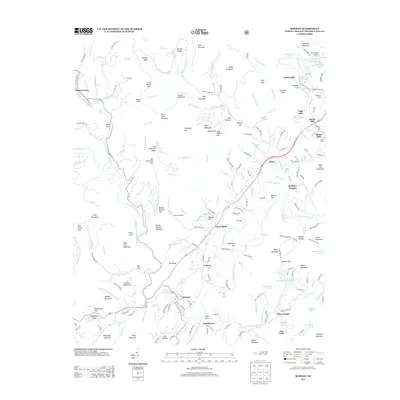
 - 2011 Map of Reid, 2011 Print
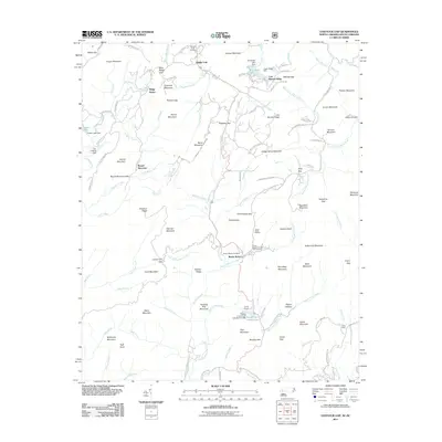
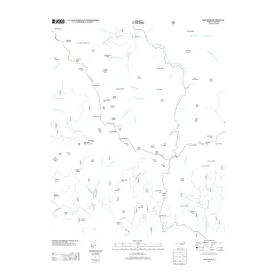
 2011 Reid2011 Print · USGSCovers Transylvania County, including Burlingame, Reid, and other nearby areas
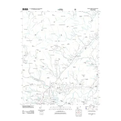
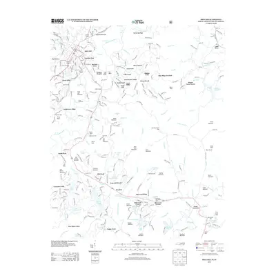
 - 2011 Map of Brevard, 2011 Print
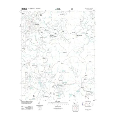 2011 Brevard2011 Print · USGSCovers Transylvania County, including Brevard, Little River, and other nearby areas
 - 2011 Map of Table Rock, 2011 Print
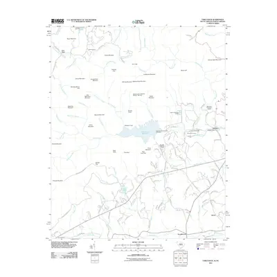 2011 Table Rock2011 Print · USGSCovers Transylvania County, including Lakemont, Liberia, and other nearby areas
 - 2013 Map of Cashiers, 2013 Print
 2013 Cashiers2013 Print · USGSCovers Transylvania County, including Cashiers, Sapphire, and other nearby areas
 - 2013 Map of Rosman, 2013 Print
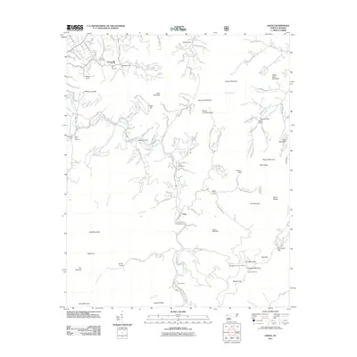
 2013 Rosman2013 Print · USGSCovers Transylvania County, including Brevard, Rosman, and other nearby areas
 - 2013 Map of Cruso, 2013 Print
 2013 Cruso2013 Print · USGSCovers Transylvania County, including Cruso, Spring Hill, and other nearby areas
 - 2013 Map of Dunsmore Mountain, 2013 Print
 2013 Dunsmore Mountain2013 Print · USGSCovers Transylvania County, including Bent Creek, Stony Fork, and other nearby areas
 - 2013 Map of Shining Rock, 2013 Print
 2013 Shining Rock2013 Print · USGSCovers Transylvania County, including Big East Fork, Haywood County, and other nearby areas
 - 2013 Map of Pisgah Forest, 2013 Print
 2013 Pisgah Forest2013 Print · USGSCovers Transylvania County, including Brevard, Mills River, and other nearby areas
 - 2013 Map of Brevard, 2013 Print
 2013 Brevard2013 Print · USGSCovers Transylvania County, including Brevard, Little River, and other nearby areas
 - 2013 Map of Horse Shoe, 2013 Print
 2013 Horse Shoe2013 Print · USGSCovers Transylvania County, including Hendersonville, Mills River, and other nearby areas
 - 2013 Map of Sam Knob, 2013 Print
 2013 Sam Knob2013 Print · USGSCovers Transylvania County, including Haywood County, Jackson County, and other nearby areas
 - 2013 Map of Reid, 2013 Print
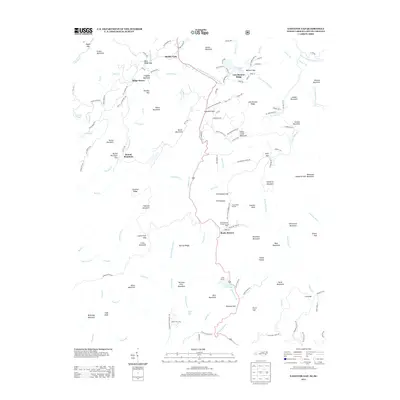
 2013 Reid2013 Print · USGSCovers Transylvania County, including Burlingame, Reid, and other nearby areas
 - 2013 Map of Eastatoe Gap, 2013 Print
 2013 Eastatoe Gap2013 Print · USGSCovers Transylvania County, including Line Runner Ridge, Middle Fork, and other nearby areas
Showing maps 1-25 of 70
Top cities of Transylvania County
Frequently asked questions
- What are the different types of historical maps available for Transylvania County?
- What is the oldest map of Transylvania County?
- Where can I purchase historical maps of Transylvania County for my home or office?
- Where can I download high-res historical maps of Transylvania County?
- Are there historical topographic maps available for Transylvania County?
- Is there historical aerial imagery available for Transylvania County?
- Where are historical maps of Transylvania County sourced from?