2010s Maps of Transylvania County, North Carolina
Explore 54 historic maps of Transylvania County from the 2010s. These maps offer a rare glimpse into what life looked like during the 2010s — showing old roads, neighborhoods, homes, and landmarks that have changed or disappeared over time.
Whether you're researching your family's past, planning a metal detecting trip, or studying how Transylvania County's landscape evolved across the 2010s, these high-resolution maps are a powerful tool for exploring the history of this region.
- Focus on a specific era: All maps on this page are from the 2010s, giving you a focused view of this time period.
- See what’s changed: Compare century-old streets, trails, and buildings to today's modern landscape using overlays and satellite layers.
- Research with precision: Use these maps for genealogy, historical research, land use analysis, or educational projects.
- View, download, or print: Maps are fully viewable online in high resolution, and can be downloaded or printed for your own records.
Start exploring Transylvania County's history through authentic maps from the 2010s. This is your window into the past.
Transylvania County, NC maps
(54)- 2011 Map of Rosman, 2011 Print
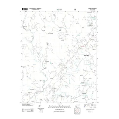 2011 Rosman2011 Print · USGSNear the headwaters of the French Broad River in the early 2000s, this area reflects a blend of mountain heritage and summer recreation. Researchers can trace family sites like Whitmire Cemetery and historic camps such as Camp Illahee or Keystone Camp.
 - 2011 Map of Shining Rock, 2011 Print
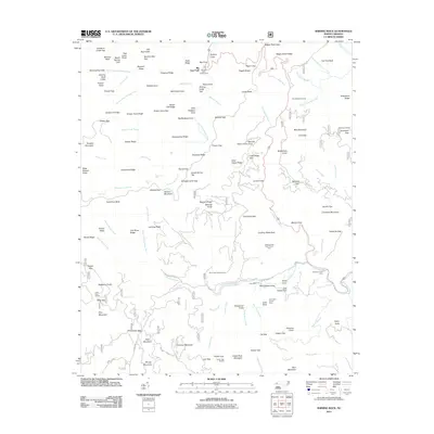 2011 Shining Rock2011 Print · USGSThe high ridges of Haywood County were well-established as a recreational and forestry hub by the early 2000s. Researchers can trace backcountry routes and landmarks like Looking Glass Rock, the Wagon Road Gap, and historic family sites such as Picklesimer Fields.
 - 2011 Map of Dunsmore Mountain, 2011 Print
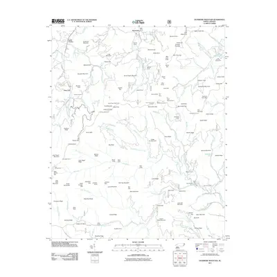 2011 Dunsmore Mountain2011 Print · USGSThe high ridges and deep gaps of the Blue Ridge are captured here in the early 2000s, showing the intersection of mountain life and federal land management. Researchers can locate remote landmarks like the O'Kelley Cemetery, the Ferrin Fire Tower, and several parkway tunnels including Pine Mountain Tunnel.
 - 2011 Map of Horse Shoe, 2011 Print
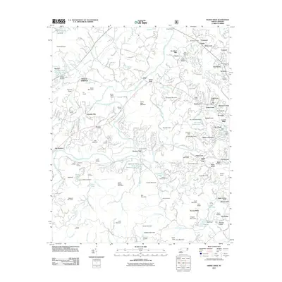 2011 Horse Shoe2011 Print · USGSHenderson County's river-carved landscape comes alive in this 2011 survey, showing the deep bends of the French Broad River and local communities like Etowah. Genealogists can trace family landmarks and burial sites including Aiken Cemetery, McCarson Cemetery, and the Forge Mountain Grist Mill.
 - 2011 Map of Lake Toxaway, 2011 Print
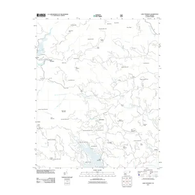 2011 Lake Toxaway2011 Print · USGSThe high Blue Ridge landscape of Transylvania County is captured here in the early twenty-first century as recreation and residential growth surround the water. Local historians can trace family markers at Owens Cemetery or locate the Toxaway Mountain Lookout and the settlement of Quebec.
 - 2011 Map of Cruso, 2011 Print
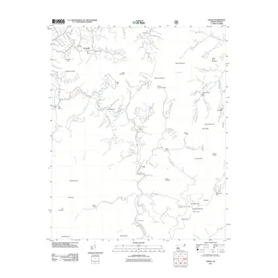 2011 Cruso2011 Print · USGSThe mountain valleys of Haywood County come alive in this map of the Blue Ridge foothills during the early 2010s. Genealogists and local historians can trace family ties through Longs Cemetery, locate high-elevation landmarks like Mount Pisgah, and explore small valley settlements including Cruso and Camp Hope.
 - 2011 Map of Sam Knob, 2011 Print
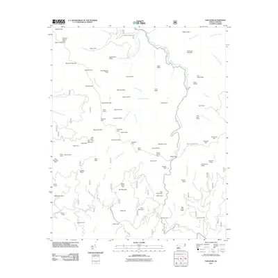 2011 Sam Knob2011 Print · USGSHigh in the Great Balsam Mountains during the early 2000s, this survey captures a landscape of extreme elevation and river headwaters. Researchers can locate the Harris Cemetery or trace the waters of the West Fork Pigeon River near Sam Knob.
 - 2011 Map of Pisgah Forest, 2011 Print
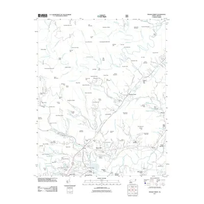 2011 Pisgah Forest2011 Print · USGSTransylvania County mountains and valley settlements come into sharp focus in this early twenty-first-century survey. Researchers can trace family history at Turkey Creek Cemetery or locate local landmarks like the Ecusta mill site and Wolf Ford.
 - 2011 Map of Cashiers, 2011 Print
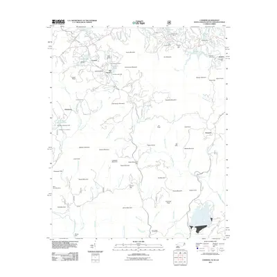 2011 Cashiers2011 Print · USGSCashiers and the surrounding Blue Ridge highlands are shown at a time of significant recreational and residential expansion. Genealogists and local historians can locate several family cemeteries, including Upper Zachary Cemetery and Whiteside Cove Cemetery, alongside the distinctive dams of Hampton Lake and Sapphire Lake.
 - 2011 Map of Eastatoe Gap, 2011 Print
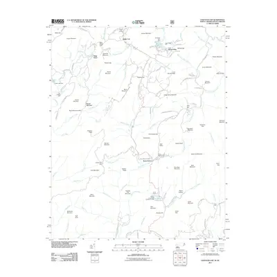 2011 Eastatoe Gap2011 Print · USGSSassafras Mountain and the rugged borderlands between the Carolinas are captured here in the early twenty-first century. Genealogists and historians can locate family sites at Middle Fork Cemetery, Masters Cemetery, and the Rocky Bottom Camp for the Blind.
 - 2011 Map of Standingstone Mountain, 2011 Print
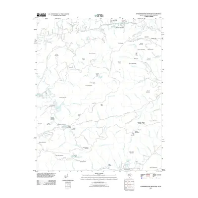 2011 Standingstone Mountain2011 Print · USGSThe Blue Ridge high country of Henderson County is shown here in the early twenty-first century, a landscape defined by dramatic waterfalls and mountain camps. Researchers can trace family history at Thomas Cemetery or explore the terrain around Vardry McBee Rock and Bridal Veil Falls.
 - 2011 Map of Reid, 2011 Print
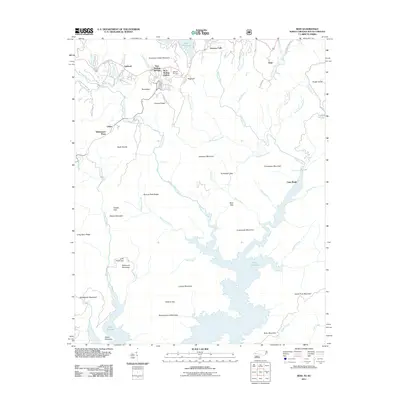 2011 Reid2011 Print · USGSThe North Carolina and South Carolina borderlands come into focus in this late-era survey of the Blue Ridge escarpment. Genealogists and hikers can trace family names at Oakland Cemetery or explore the rugged gaps of Tarkiln Gap and Hickory Gap.
 - 2011 Map of Brevard, 2011 Print
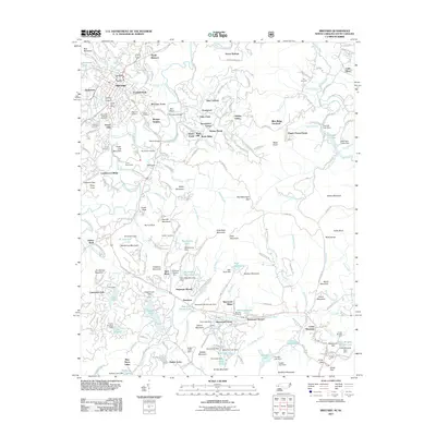 2011 Brevard2011 Print · USGSBrevard and its surrounding highlands are captured in the early twenty-first century, showing a landscape shaped by the French Broad River. Genealogists and historians can trace local families at the Evergreen Gillespie Cemetery or find historic camps like Camp Deerwoode.
 - 2011 Map of Table Rock, 2011 Print
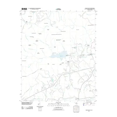 2011 Table Rock2011 Print · USGSThe foothills and mountains of the Carolina border come alive in this survey, showcasing a landscape of high peaks and river valleys. Researchers can trace family sites at Saluda Hill Cemetery, find old crossings like Douthett Ford, and locate the historic settlement of Pumpkintown.
 - 2013 Map of Cashiers, 2013 Print
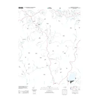 2013 Cashiers2013 Print · USGSThe high plateau of Jackson County is captured here in the early twenty-first century, showing the intersection of three southern states. You can trace family-named landmarks and mountain gaps from High Hampton down to the historic tri-point at Ellicott Rock.
 - 2013 Map of Rosman, 2013 Print
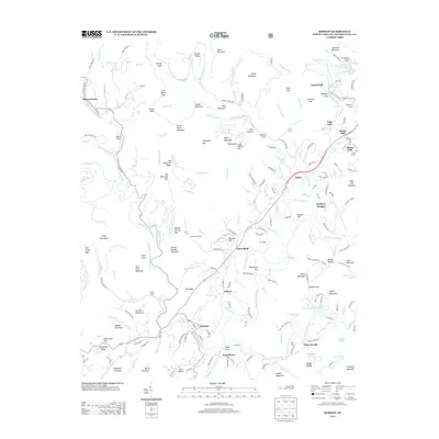 2013 Rosman2013 Print · USGSThe headwaters of the French Broad River come into focus in the early twenty-first century, showing a mix of traditional mountain communities and summer retreats. Researchers can trace family-named ridges and locate local landmarks like Camp Cherryfield, Balsam Grove, and Lake Wanteska.
 - 2013 Map of Cruso, 2013 Print
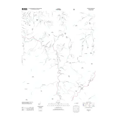 2013 Cruso2013 Print · USGSThe High Country of Haywood County is documented here in the early twenty-first century, centered on the community of Cruso and the East Fork of the Pigeon River. Researchers can trace forest landmarks and high-altitude features like the Fryingpan Mountain Lookout, Camp Hope, and Mount Pisgah.
 - 2013 Map of Dunsmore Mountain, 2013 Print
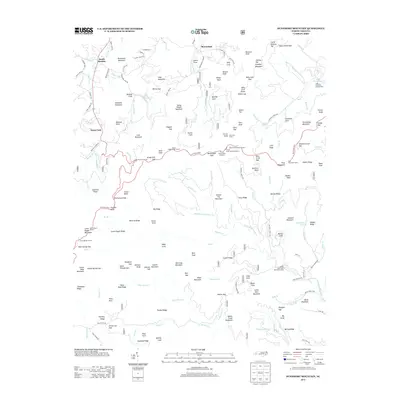 2013 Dunsmore Mountain2013 Print · USGSThe Pisgah National Forest south of Asheville was a landscape of high-altitude engineering and early recreational development in the 2010s. Trace the complex route of the Blue Ridge Pkwy through its many tunnels or locate local landmarks like the Ferin Fire Tower and Lake Powhatan.
 - 2013 Map of Shining Rock, 2013 Print
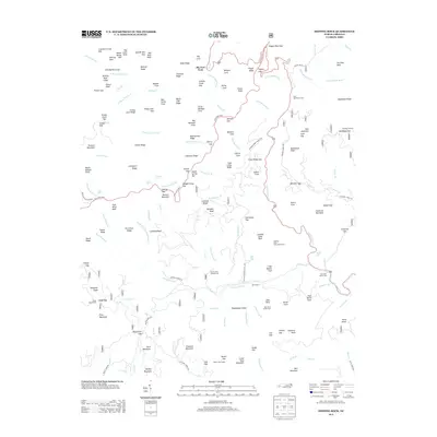 2013 Shining Rock2013 Print · USGSThe high ridges and deep coves of the Blue Ridge appear here in the early 2010s, showing a landscape dedicated to recreation and conservation. Trace the paths of the Blue Ridge Pkwy to landmarks like Shining Rock and the Looking Glass Rock Scenic Area.
 - 2013 Map of Pisgah Forest, 2013 Print
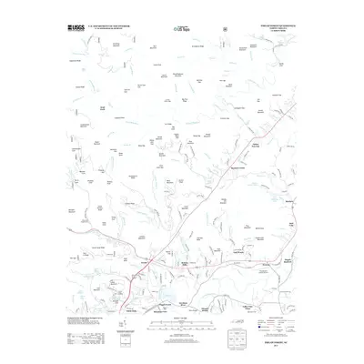 2013 Pisgah Forest2013 Print · USGSTransylvania County is captured here in the early 2010s as it balances industrial heritage and high-mountain forest. Researchers can locate established communities like Ecusta and Penrose, or trace the recreational footprint of Camp Carolina and Eagle Nest Camp.
 - 2013 Map of Brevard, 2013 Print
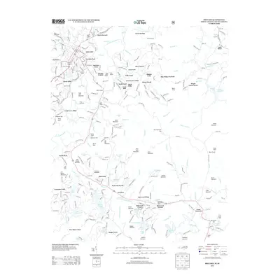 2013 Brevard2013 Print · USGSBrevard and the Blue Ridge high country are captured here in the early twenty-first century, showcasing a landscape of mountain colleges and summer retreats. Researchers can trace the layout of Brevard College, the grounds of Rockbrook Camp, and local landmarks like Brevard Airport.
 - 2013 Map of Horse Shoe, 2013 Print
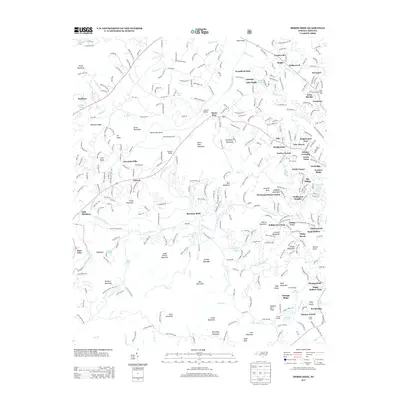 2013 Horse Shoe2013 Print · USGSThe French Broad River valley and its surrounding peaks are documented here in the early twenty-first century. Genealogists and historians can trace family-named sites and landmarks like Bowman Bluff, Indian Cave Park, and the State Prison Camp Number 124.
 - 2013 Map of Sam Knob, 2013 Print
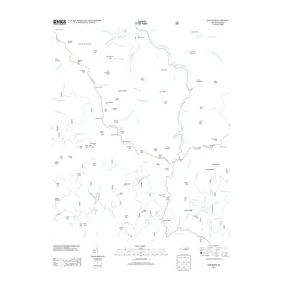 2013 Sam Knob2013 Print · USGSHigh in the Great Balsam Mountains during the early twenty-first century, this map captures the winding route of the Blue Ridge Pkwy. Researchers can locate specific water features like Courthouse Falls and local landmarks such as Harris Cemetery Ln.
 - 2013 Map of Reid, 2013 Print
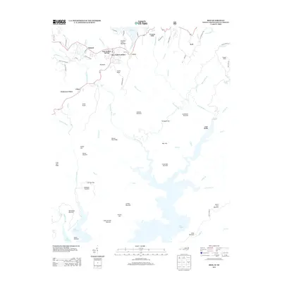 2013 Reid2013 Print · USGSThe North Carolina and South Carolina borderlands in the early twenty-first century reveal a landscape of dramatic river drops and high mountain gaps. Genealogists can trace early mountain settlements and family names at Oakland, Bear Wallow Hollow, and Reid.
 - 2013 Map of Eastatoe Gap, 2013 Print
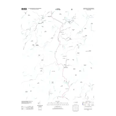 2013 Eastatoe Gap2013 Print · USGSThe high mountain gaps and camps of the Blue Ridge are captured here in the early twenty-first century. Researchers can trace historic access routes through Eastatoe Gap and locate specialized landmarks like the Rocky Bottom Camp for the Blind and Ridge Haven.
Showing maps 1-25 of 54
Top cities of Transylvania County
Frequently asked questions
- What are the different types of historical maps available for Transylvania County?
- What is the oldest map of Transylvania County?
- Where can I purchase historical maps of Transylvania County for my home or office?
- Where can I download high-res historical maps of Transylvania County?
- Are there historical topographic maps available for Transylvania County?
- Is there historical aerial imagery available for Transylvania County?
- Where are historical maps of Transylvania County sourced from?