2000s (21st Century) Maps of JAARS, North Carolina
Explore 10 historic maps of JAARS from the 2000s (21st Century). These maps offer a rare glimpse into what life looked like during the 2000s — showing old roads, neighborhoods, homes, and landmarks that have changed or disappeared over time.
Whether you're researching your family's past, planning a metal detecting trip, or studying how JAARS's landscape evolved across the 2000s, these high-resolution maps are a powerful tool for exploring the history of this region.
- Focus on a specific era: All maps on this page are from the 2000s, giving you a focused view of this time period.
- See what’s changed: Compare century-old streets, trails, and buildings to today's modern landscape using overlays and satellite layers.
- Research with precision: Use these maps for genealogy, historical research, land use analysis, or educational projects.
- View, download, or print: Maps are fully viewable online in high resolution, and can be downloaded or printed for your own records.
Start exploring JAARS's history through authentic maps from the 2000s. This is your window into the past.
JAARS, NC maps
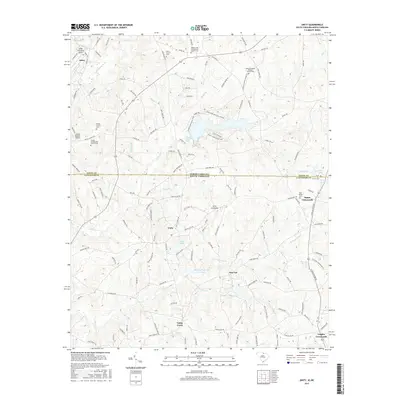
(10)- 2011 Map of Van Wyck, 2011 Print
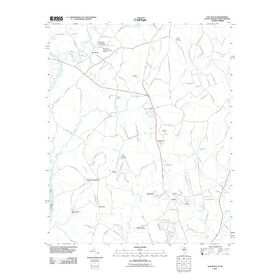 2011 Van Wyck2011 Print · USGSCovers JAARS, including Lancaster, Shiloh, and other nearby areas
 - 2011 Map of Unity, 2011 Print
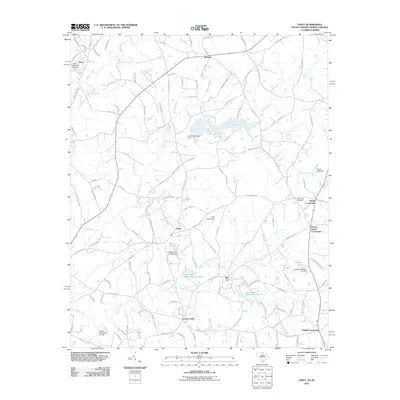 2011 Unity2011 Print · USGSCovers JAARS, including New Cut, Jackson, and other nearby areas
 - 2014 Map of Unity, 2014 Print
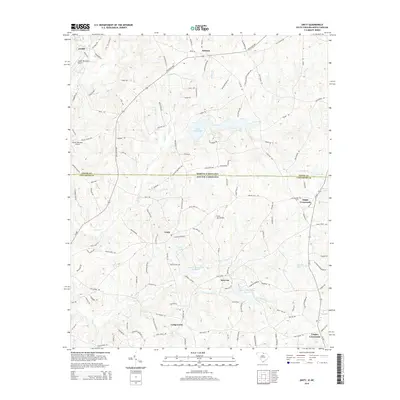 2014 Unity2014 Print · USGSCovers JAARS, including New Cut, Jackson, and other nearby areas
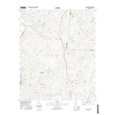
 - 2014 Map of Van Wyck, 2014 Print
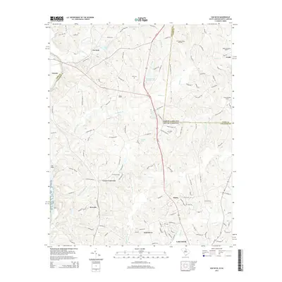 2014 Van Wyck2014 Print · USGSCovers JAARS, including Lancaster, Shiloh, and other nearby areas
 - 2017 Map of Unity, 2017 Print
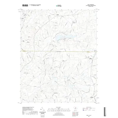
 2017 Unity2017 Print · USGSCovers JAARS, including New Cut, Jackson, and other nearby areas
 - 2017 Map of Van Wyck, 2017 Print
 2017 Van Wyck2017 Print · USGSCovers JAARS, including Lancaster, Shiloh, and other nearby areas
 - 2020 Map of Unity, 2020 Print
 2020 Unity2020 Print · USGSCovers JAARS, including New Cut, Jackson, and other nearby areas
 - 2020 Map of Van Wyck, 2020 Print
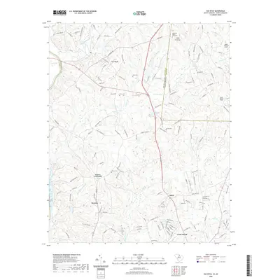 2020 Van Wyck2020 Print · USGSCovers JAARS, including Lancaster, Shiloh, and other nearby areas
 - 2024 Map of Van Wyck, 2024 Print
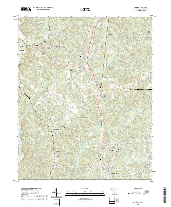 2024 Van Wyck2024 Print · USGSThe river-and-creek landscape of the Carolinas borderland is captured here in detail, showing the rural communities of Van Wyck and Riverside. Genealogists and local historians can trace family roots through numerous burial sites including Cureton Cem and the Waxhaw Church Graveyard.
 - 2024 Map of Unity, 2024 Print
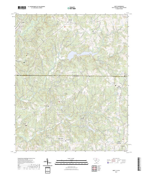 2024 Unity2024 Print · USGSThe North Carolina and South Carolina borderlands come alive in this survey of rural Lancaster and Union counties. Researchers can trace ancestral sites through an abundance of family burial grounds like the Tirzah Presbyterian Church Cem and New Bethel Church Graveyard.
End of results
Showing maps 1-10 of 10
Top cities near JAARS
- Charlotte historical maps
- Rock Hill historical maps
- Monroe historical maps
- Matthews historical maps
- Fort Mill historical maps
- Indian Land historical maps
See more
Top neighborhoods of JAARS
Frequently asked questions
- What are the different types of historical maps available for JAARS?
- What is the oldest map of JAARS?
- Where can I purchase historical maps of JAARS for my home or office?
- Where can I download high-res historical maps of JAARS?
- Are there historical topographic maps available for JAARS?
- Is there historical aerial imagery available for JAARS?
- Where are historical maps of JAARS sourced from?