Old Maps of JAARS, North Carolina for Academic Research
Study the evolution of JAARS with 18 high-resolution historic maps. Whether you're teaching, researching, or modeling changes in land use, these maps provide essential visual documentation of urban, environmental, and geographic change.
- Analyze long-term change: Track patterns in development, transportation, and natural features.
- Ideal for environmental or urban studies: Support academic projects with primary historical map data.
- Use in the classroom or lab: Educators and researchers rely on these maps to bring historical context to life.
These maps are a powerful tool for teaching, research, and visualizing how JAARS has changed over the decades.
JAARS, NC maps
(18)- 1941 Map of Spartanburg
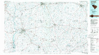
 1941 Spartanburg1941 Print · USGSSouth Carolina’s Piedmont and Sandhills regions are shown here during the mid-century peak of the rail era. Researchers can trace the sprawling Fort Jackson Military Reservation and the industrial growth of hubs like Spartanburg and Rock Hill.
 - 1953 Map of Spartanburg, 1966 Print
 1953 Spartanburg1966 Print · USGSMid-century South Carolina comes into focus through this survey of the Piedmont and the Sand Hills at a time of significant reservoir expansion. Researchers can trace the legacy of industrial transit and resource extraction from the Haile Gold Mine to the rail hubs of the Seaboard Air Line.4 unique versions available
 - 1960 Map of Spartanburg
 1960 Spartanburg1960 Print · USGSThe South Carolina Piedmont and North Carolina borderlands come alive in this mid-century survey of the region between Spartanburg and Columbia. Researchers can trace the Seaboard Air Line railroad and explore landmarks like Anderson Quarry, Lake Murray, and Mount Croghan.2 unique versions available
 - 1963 Map of Spartanburg
 1963 Spartanburg1963 Print · USGSMid-century South Carolina comes alive in this survey, showing the rail-linked corridor between the Upstate and the Midlands. Genealogists can trace family lands near old hubs like Union and Lancaster, or along the banks of the Broad River and Pee Dee River.
 - 1964 Map of Spartanburg
 1964 Spartanburg1964 Print · USGSMid-century South Carolina comes alive in this survey of the Piedmont and Upcountry, stretching from the Blue Ridge foothills to the Sandhills. Genealogists and historians can trace the rail-and-river economy through Monarch Mills, Glenn Springs, and the Southern Railway corridor.
 - 1968 Map of Van Wyck, 1970 Print
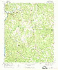 1968 Van Wyck1970 Print · USGSUpper Lancaster County comes into focus in the late sixties as the rail lines and river valleys shaped local life. Genealogists can locate family landmarks like White Oak Ch, Fosters Crossroads, and the Andrew Jackson Memorial.2 unique versions available
 - 1971 Map of Unity, 1973 Print
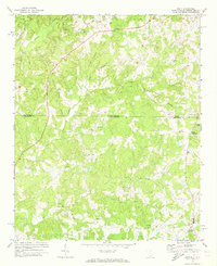 1971 Unity1973 Print · USGSThe Carolina borderlands in Lancaster and Union counties are captured here in the early 1970s, showcasing a landscape of rural settlements and branch-water farms. Genealogists can trace family footprints through community hubs like Unity, Sapps Crossroads, and Lingles Crossroads.3 unique versions available
 - 1986 Map of Lancaster
 1986 Lancaster1986 Print · USGSThe Carolina borderlands are captured in the mid-1980s as a thriving corridor of rail towns and diverse geography. Researchers can trace the region's heritage through landmarks like Forty Acre Rock, the Southern RR line, and rural sites such as Heath Springs Church.2 unique versions available
 - 2011 Map of Van Wyck, 2011 Print
 2011 Van Wyck2011 Print · USGSCovers JAARS, including Lancaster, Shiloh, and other nearby areas
 - 2011 Map of Unity, 2011 Print
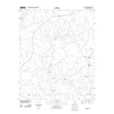 2011 Unity2011 Print · USGSCovers JAARS, including New Cut, Jackson, and other nearby areas
 - 2014 Map of Unity, 2014 Print
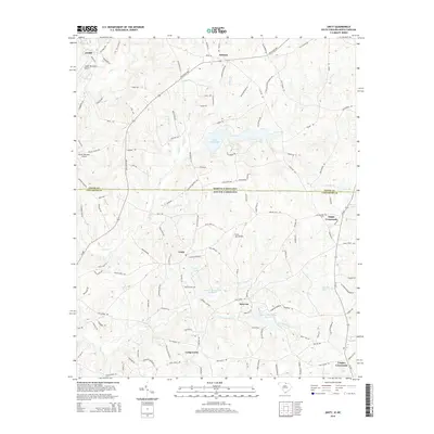 2014 Unity2014 Print · USGSCovers JAARS, including New Cut, Jackson, and other nearby areas
 - 2014 Map of Van Wyck, 2014 Print
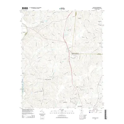 2014 Van Wyck2014 Print · USGSCovers JAARS, including Lancaster, Shiloh, and other nearby areas
 - 2017 Map of Unity, 2017 Print
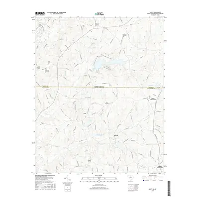 2017 Unity2017 Print · USGSCovers JAARS, including New Cut, Jackson, and other nearby areas
 - 2017 Map of Van Wyck, 2017 Print
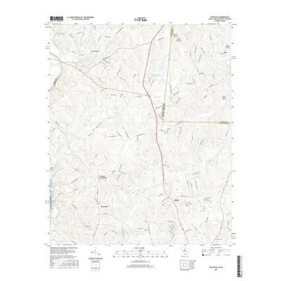 2017 Van Wyck2017 Print · USGSCovers JAARS, including Lancaster, Shiloh, and other nearby areas
 - 2020 Map of Unity, 2020 Print
 2020 Unity2020 Print · USGSCovers JAARS, including New Cut, Jackson, and other nearby areas
 - 2020 Map of Van Wyck, 2020 Print
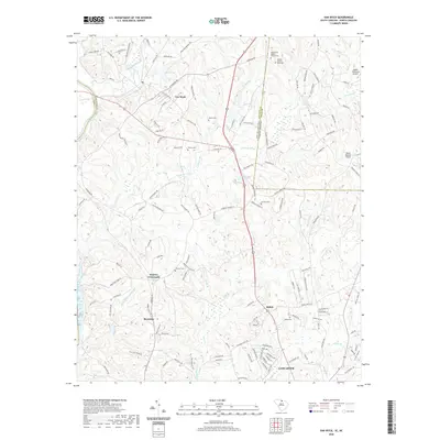 2020 Van Wyck2020 Print · USGSCovers JAARS, including Lancaster, Shiloh, and other nearby areas
 - 2024 Map of Van Wyck, 2024 Print
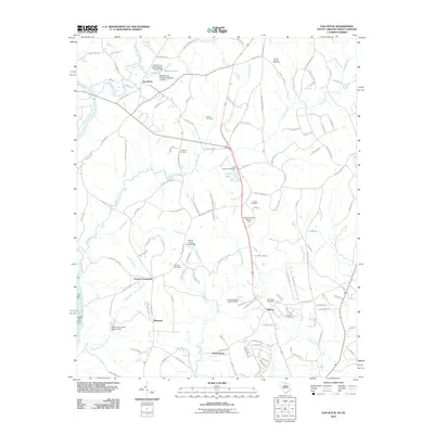
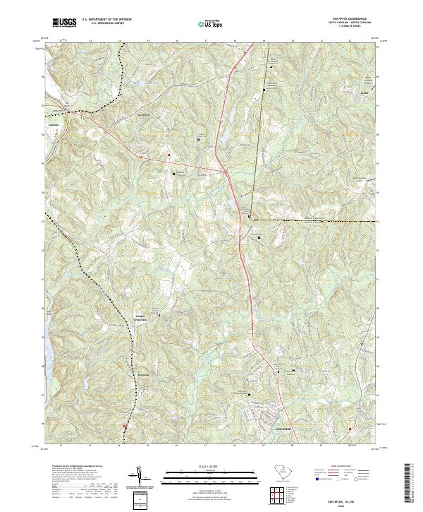 2024 Van Wyck2024 Print · USGSThe river-and-creek landscape of the Carolinas borderland is captured here in detail, showing the rural communities of Van Wyck and Riverside. Genealogists and local historians can trace family roots through numerous burial sites including Cureton Cem and the Waxhaw Church Graveyard.
 - 2024 Map of Unity, 2024 Print
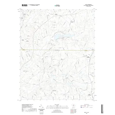
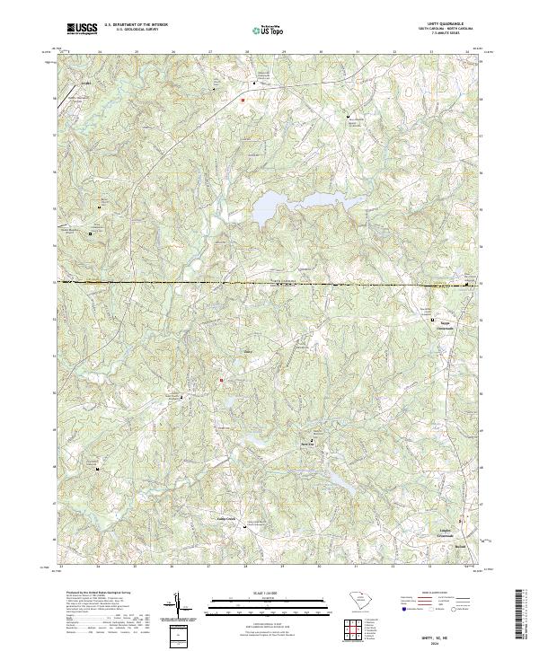 2024 Unity2024 Print · USGSThe North Carolina and South Carolina borderlands come alive in this survey of rural Lancaster and Union counties. Researchers can trace ancestral sites through an abundance of family burial grounds like the Tirzah Presbyterian Church Cem and New Bethel Church Graveyard.
End of results
Showing maps 1-18 of 18
Top cities near JAARS
- Charlotte historical maps
- Rock Hill historical maps
- Monroe historical maps
- Matthews historical maps
- Fort Mill historical maps
- Indian Land historical maps
See more
Top neighborhoods of JAARS
Frequently asked questions
- What are the different types of historical maps available for JAARS?
- What is the oldest map of JAARS?
- Where can I purchase historical maps of JAARS for my home or office?
- Where can I download high-res historical maps of JAARS?
- Are there historical topographic maps available for JAARS?
- Is there historical aerial imagery available for JAARS?
- Where are historical maps of JAARS sourced from?