2010s Maps of Wilson, North Carolina
Explore 24 historic maps of Wilson from the 2010s. These maps offer a rare glimpse into what life looked like during the 2010s — showing old roads, neighborhoods, homes, and landmarks that have changed or disappeared over time.
Whether you're researching your family's past, planning a metal detecting trip, or studying how Wilson's landscape evolved across the 2010s, these high-resolution maps are a powerful tool for exploring the history of this region.
- Focus on a specific era: All maps on this page are from the 2010s, giving you a focused view of this time period.
- See what’s changed: Compare century-old streets, trails, and buildings to today's modern landscape using overlays and satellite layers.
- Research with precision: Use these maps for genealogy, historical research, land use analysis, or educational projects.
- View, download, or print: Maps are fully viewable online in high resolution, and can be downloaded or printed for your own records.
Start exploring Wilson's history through authentic maps from the 2010s. This is your window into the past.
Wilson, NC maps
(24)- 2010 Map of Bailey, 2010 Print
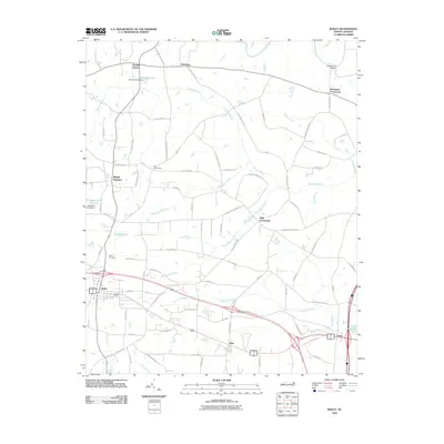 2010 Bailey2010 Print · USGSCoastal plain settlements and winding swamp networks define this Nash and Wilson County landscape in the early 2000s. Genealogists and local historians can trace the development around Bailey and Sims, or locate landmarks like Finchs Millpond and Bailey Cemetery.
 - 2010 Map of Lucama, 2010 Print
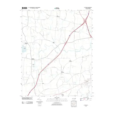 2010 Lucama2010 Print · USGSThe rural crossroads of Wilson County are captured here at the start of the 2010s, showing a landscape defined by agrarian traditions and modern transit. Researchers can trace family-named landmarks and small settlements like Rock Ridge, Buckhorn Crossroads, and Hawra along the waters of Contentnea Creek.
 - 2010 Map of Wilson, 2010 Print
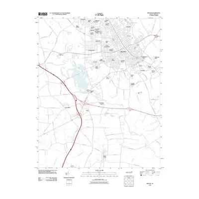 2010 Wilson2010 Print · USGSWilson and its sprawling suburban neighborhoods are captured during a period of modern expansion along the Contentnea Creek. Genealogists and local historians can locate specific sites like Maplewood Cemetery, Wiggins Mill Dam, and the Wilson County Speedway.
 - 2010 Map of Elm City, 2010 Print
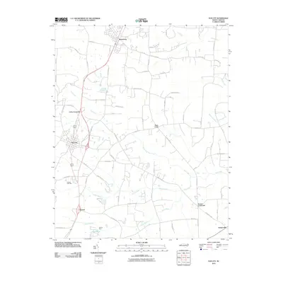 2010 Elm City2010 Print · USGSCoastal plain settlements and winding swamp systems define this Wilson County landscape in the early 2000s. Genealogists and historians can trace the rural layout of communities like Sharpsburg, Bridgersville, and Penders Crossroads.
 - 2010 Map of Winstead Crossroads, 2010 Print
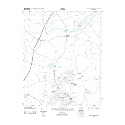 2010 Winstead Crossroads2010 Print · USGSThe northern outskirts of Wilson come into focus in the early twenty-first century, showing the interface between traditional crossroads and modern residential growth. Trace the evolution of the landscape near Lake Wilson and find landmarks like Finch Mill and Winstead Crossroads.
 - 2010 Map of Saratoga, 2010 Print
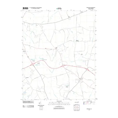 2010 Saratoga2010 Print · USGSCoastal plain farming communities and wetlands define this Wilson County landscape in the early twenty-first century. Researchers can trace rural family sites near Toisnot Cemetery and historic junctions like Holdens Crossroads and Drivers Store.
 - 2013 Map of Wilson, 2013 Print
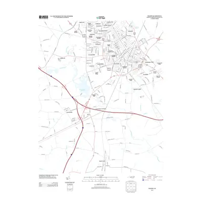 2013 Wilson2013 Print · USGSWilson's residential and industrial footprint is fully established in this early twenty-first-century survey. Genealogists and local historians can trace modern neighborhoods like Hominy Heights alongside historical landmarks such as Wiggins Mill and the Wilson County Speedway.
 - 2013 Map of Winstead Crossroads, 2013 Print
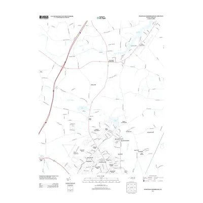 2013 Winstead Crossroads2013 Print · USGSThe rural fringes north of Wilson were rapidly evolving in the early twenty-first century as new neighborhoods met historic swampland. Researchers can trace local landmarks like Finch Mill, the Tar River Reservoir, and old junctions at Winstead Crossroads.
 - 2013 Map of Saratoga, 2013 Print
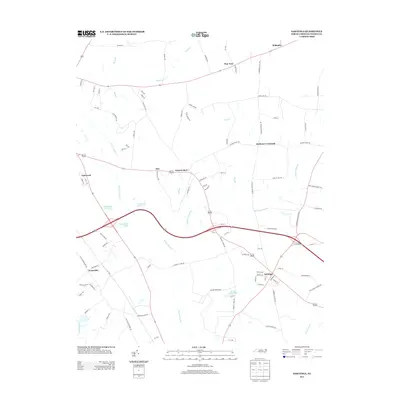 2013 Saratoga2013 Print · USGSCoastal plain crossroads and swampy bottomlands define Wilson County during the early twenty-first century. Genealogists and local historians can trace the rural landscape surrounding Saratoga, including namesake landmarks like Drivers Store, Holdens Crossroads, and Archie Ellis Pond.
 - 2013 Map of Elm City, 2013 Print
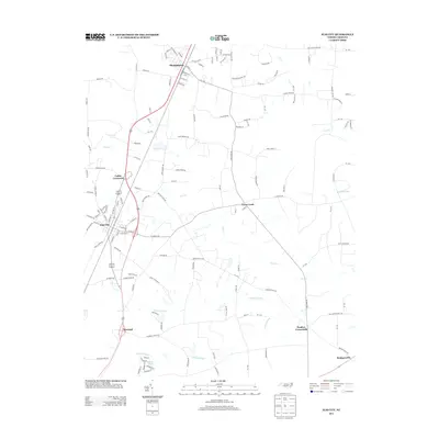 2013 Elm City2013 Print · USGSCoastal plain crossroads and railroad towns define this Wilson County landscape in the early twenty-first century. Genealogists and local historians can trace the communities of Elm City, Sharpsburg, and Rosebud alongside landmarks like Adams Pond and Cattail Swamp.
 - 2013 Map of Lucama, 2013 Print
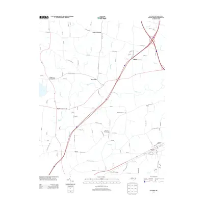 2013 Lucama2013 Print · USGSCoastal plain crossroads and farming communities define Wilson County in the early 2010s. Genealogists can trace the rural layout of Lucama or locate family-named landmarks near Stotts Crossroads and the banks of Contentnea Cr.
 - 2013 Map of Bailey, 2013 Print
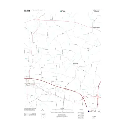 2013 Bailey2013 Print · USGSCoastal plain settlements and crossroads emerge among the wetlands of eastern North Carolina in the early twenty-first century. Genealogists and local historians can trace family locations near Bailey, Sims, and landmark junctions like Strickland Crossroads.
 - 2016 Map of Lucama, 2016 Print
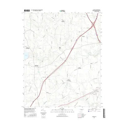 2016 Lucama2016 Print · USGSWilson County's rural crossroads and coastal plain drainage are captured here in the mid-2010s. Genealogists and local historians can trace family land between Stotts Crossroads, Rock Ridge, and the banks of Contentnea Creek.
 - 2016 Map of Bailey, 2016 Print
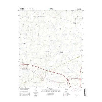 2016 Bailey2016 Print · USGSCoastal plain settlements and low-lying wetlands dominate this part of North Carolina during the mid-2010s. Researchers can trace family history through locations like Bailey, the Bailey Cem, and numerous crossroads settlements including Strickland Crossroads and High Crossroads.
 - 2016 Map of Winstead Crossroads, 2016 Print
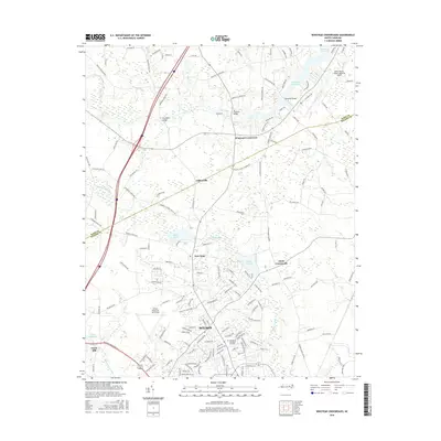 2016 Winstead Crossroads2016 Print · USGSCoastal Plain hydrology and regional aviation infrastructure dominate this 2016 survey of northern Wilson and the Nash County border. Genealogists and local historians can trace family landmarks like Finch Mill, Evergreen Memorial Gardens, and the rural junction at Winstead Crossroads.
 - 2016 Map of Wilson, 2016 Print
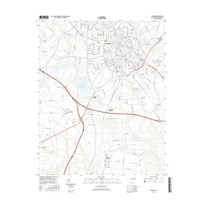 2016 Wilson2016 Print · USGSThe city of Wilson and its surrounding Wilson County communities are captured here in the mid-2010s as they bridge the gap between historic roots and modern growth. Genealogists and local historians can trace the areas surrounding Maplewood Cemetery or locate the rural crossroads of Lucama and Black Creek.
 - 2016 Map of Elm City, 2016 Print
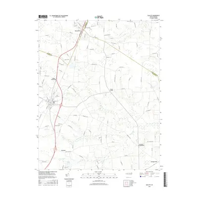 2016 Elm City2016 Print · USGSCoastal plain settlements and crossroads emerge in this recent look at the Wilson and Nash County border. Genealogists can locate family landmarks like Cedar Grove Cem and trace the rural reaches of Sharpsburg, Rosebud, and Bridgersville.
 - 2016 Map of Saratoga, 2016 Print
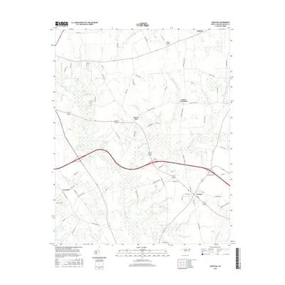 2016 Saratoga2016 Print · USGSSaratoga and the surrounding Wilson County farm country are captured here in the mid-2010s, showing a landscape defined by its blackwater swamps. Researchers can trace local landmarks like the Toisnot Cem and community hubs at Holdens Crossroads and Drivers Store.
 - 2019 Map of Saratoga, 2019 Print
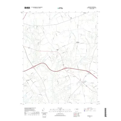 2019 Saratoga2019 Print · USGSSaratoga and the rural crossroads of Wilson County are captured in the late 2010s, showcasing a landscape of interconnected wetlands and small settlements. Local history researchers can trace family-named landmarks like Drivers Store, Toisnot Cem, and Archie Ellis Pond.
 - 2019 Map of Elm City, 2019 Print
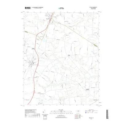 2019 Elm City2019 Print · USGSCoastal plain farmland and wetland networks define this part of Wilson County in the late 2010s. Researchers can trace rural lineages through local landmarks like Cedar Grove Cemetery and historic junctions such as Cobbs Crossroads and Penders Crossroads.
 - 2019 Map of Winstead Crossroads, 2019 Print
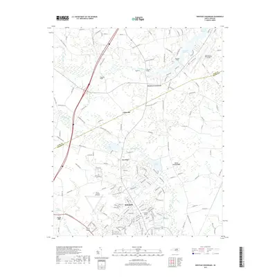 2019 Winstead Crossroads2019 Print · USGSThe Wilson and Nash County line comes alive in this 2010s survey, capturing the transition from the city of Wilson to rural agrarian life. Trace local history through landmark sites like Finch Mill and the crossroads settlements of New Hope and Dunn Crossroads.
 - 2019 Map of Wilson, 2019 Print
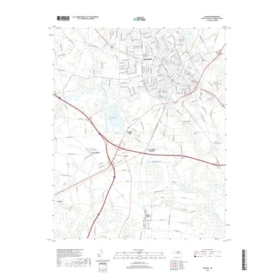 2019 Wilson2019 Print · USGSWilson and the surrounding coastal plain are documented in the late 2010s, showcasing the region's intersection of education, industry, and swamp drainage. Researchers can trace the footprints of Barton Coll and Maplewood Cem or explore smaller communities like Lucama and Black Creek.
 - 2019 Map of Bailey, 2019 Print
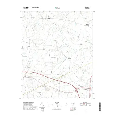 2019 Bailey2019 Print · USGSThe rural borderlands of Nash and Wilson Counties come to life in this contemporary survey of a classic Carolina landscape. Researchers can trace local lineage through sites like Bailey Cem, the community at Sims, and water features like Finchs Millpond.
 - 2019 Map of Lucama, 2019 Print
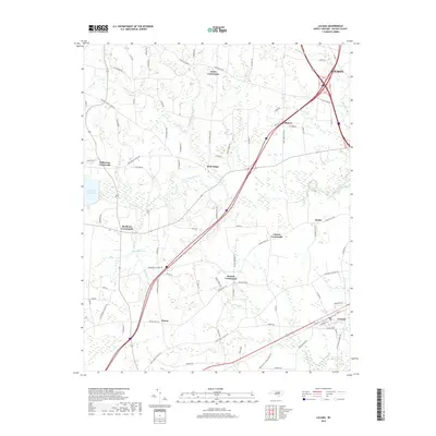 2019 Lucama2019 Print · USGSCoastal plain crossroads and family farmsteads define this corner of Wilson County in the late 2010s. Genealogists can trace the rural network between Lucama and numerous community hubs like Rock Ridge, Stotts Crossroads, and Buckhorn Crossroads.
End of results
Showing maps 1-24 of 24
Top cities near Wilson
- Rocky Mount historical maps
- Nashville historical maps
- Sharpsburg historical maps
- Fremont historical maps
- Kenly historical maps
- Elm City historical maps
See more
Top neighborhoods of Wilson
- Lincoln Heights historical maps
- Merrimont historical maps
- Montclair historical maps
- Edgewood historical maps
- Newton Park historical maps
- Pineview Acres historical maps
See more
Frequently asked questions
- What are the different types of historical maps available for Wilson?
- What is the oldest map of Wilson?
- Where can I purchase historical maps of Wilson for my home or office?
- Where can I download high-res historical maps of Wilson?
- Are there historical topographic maps available for Wilson?
- Is there historical aerial imagery available for Wilson?
- Where are historical maps of Wilson sourced from?