Old Maps of Yadkinville, North Carolina for Genealogy
Trace your family roots with 18 historic maps of Yadkinville. These high-res maps reveal old neighborhoods, homesites, landmarks, and streets — helping you uncover where your ancestors lived and how the area evolved over time.
- Explore historic neighborhoods: Identify where your relatives may have lived in the 1800s or 1900s.
- Compare maps over time: Trace the changes in streets, buildings, and landmarks for multi-generational research.
- Perfect for genealogy & ancestry research: Used by family historians and researchers to map out lineage and migration.
These maps are an incredible resource for exploring your personal connection to Yadkinville's past.
Yadkinville, NC maps
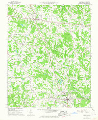
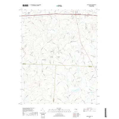
(18)- 1891 Map of Yadkinville, 1964 Print
 1891 Yadkinville1964 Print · USGSSurry and Yadkin counties are shown here in the late nineteenth century as the river-and-rail economy began to reshape the Piedmont. Genealogists can trace family landmarks and early crossings like Kapps Mill, Poindexter Ferry, and Cross Roads Church.
 - 1893 Map of Yadkinville, 1944 Print
 1893 Yadkinville1944 Print · USGSNorthwest North Carolina at the close of the nineteenth century was a landscape of river-dependent commerce and mountain ridges. Researchers can trace the early industrial footprint of Kapps Mill, locate remote river crossings like Douglass Ford, and follow the progress of the Cape Fear and Yadkin Valley Railroad.
 - 1953 Map of Winston-Salem, 1974 Print
 1953 Winston-Salem1974 Print · USGSThe North Carolina Piedmont and Virginia highlands meet in the mid-1950s, a landscape defined by the tobacco and textile hubs of the Blue Ridge foothills. Researchers can trace the rail-and-river geography connecting Winston-Salem to mountain towns like Mount Airy and Galax.2 unique versions available
 - 1955 Map of Winston-Salem
 1955 Winston-Salem1955 Print · USGSThe Central Blue Ridge and Piedmont transition are captured here in the mid-fifties, from the industrial hub of Winston-Salem to the high peaks of Southwest Virginia. Genealogists can trace family landmarks like Richmond Hill Ch, Siloam Ch, and the old rail stops along the Southern Railway.
 - 1962 Map of Winston-Salem
 1962 Winston-Salem1962 Print · USGSThe North Carolina Piedmont meets the Virginia highlands in the early sixties, showing the rail corridors and mountain gaps of the southern Appalachians. Researchers can trace the Blue Ridge Parkway or locate family sites near Winston-Salem, Mount Airy, and Hanging Rock Mountain.
 - 1966 Map of Lone Hickory, 1967 Print
 1966 Lone Hickory1967 Print · USGSYadkin and Iredell Counties appear here in the mid-1960s, showing a rural landscape of creek-side farms and historic church communities. Researchers can trace local genealogy through sites like Martins Store, Sandy Springs Ch, and Footville.
 - 1966 Map of Yadkinville, 1967 Print
 1966 Yadkinville1967 Print · USGSYadkin County transitioned from a purely rural landscape to a growing community hub in the mid-1960s. Researchers can locate numerous family-history landmarks including Mitchells Chapel, Hoots Hospital, and the Boonville Airfield.
 - 1984 Map of Winston-Salem, 1985 Print
 1984 Winston-Salem1985 Print · USGSThe North Carolina Piedmont in the mid-1980s shows the growth of Winston-Salem and the busy rail corridors of the Southern Railway. Genealogists and local historians can trace family-named lands and rural communities from Yadkinville to Mount Airy.2 unique versions available
 - 2010 Map of Lone Hickory, 2010 Print
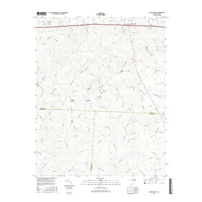
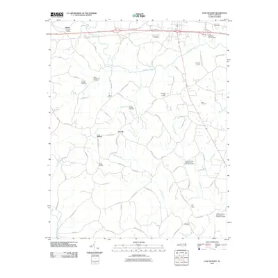 2010 Lone Hickory2010 Print · USGSCovers Yadkinville, including Lone Hickory, Footville, and other nearby areas
 - 2010 Map of Yadkinville, 2010 Print
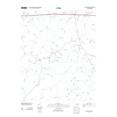
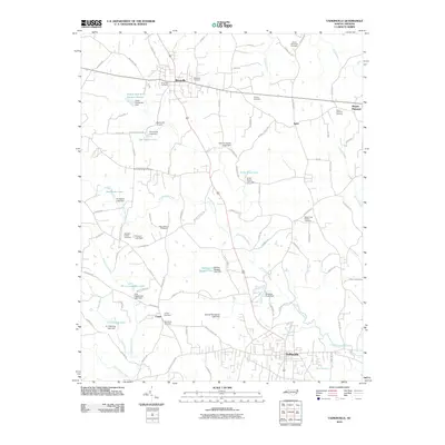 2010 Yadkinville2010 Print · USGSCovers Yadkinville, including Boonville, Center, and other nearby areas
 - 2013 Map of Yadkinville, 2013 Print
 2013 Yadkinville2013 Print · USGSCovers Yadkinville, including Boonville, Center, and other nearby areas
 - 2013 Map of Lone Hickory, 2013 Print
 2013 Lone Hickory2013 Print · USGSCovers Yadkinville, including Lone Hickory, Footville, and other nearby areas
 - 2016 Map of Lone Hickory, 2016 Print
 2016 Lone Hickory2016 Print · USGSCovers Yadkinville, including Lone Hickory, Footville, and other nearby areas
 - 2016 Map of Yadkinville, 2016 Print
 2016 Yadkinville2016 Print · USGSCovers Yadkinville, including Boonville, Center, and other nearby areas
 - 2019 Map of Yadkinville, 2019 Print
 2019 Yadkinville2019 Print · USGSCovers Yadkinville, including Boonville, Center, and other nearby areas
 - 2019 Map of Lone Hickory, 2019 Print
 2019 Lone Hickory2019 Print · USGSCovers Yadkinville, including Lone Hickory, Footville, and other nearby areas
 - 2022 Map of Yadkinville, 2022 Print
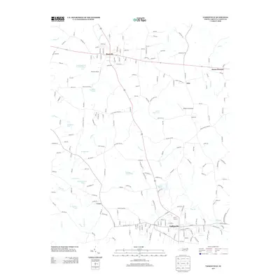
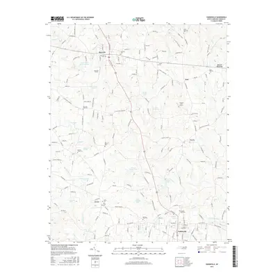
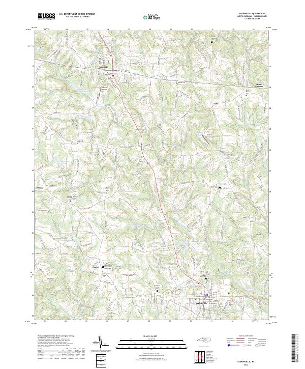 2022 Yadkinville2022 Print · USGSYadkin County in the early 2020s remains a landscape of traditional Piedmont settlements and family-named homesteads. Researchers can locate dozens of historic burying grounds like Harmony Grove Cem and Charity Cem, or trace the local airfields and waterways that define Boonville and Yadkinville.
 - 2022 Map of Lone Hickory, 2022 Print
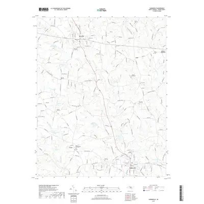
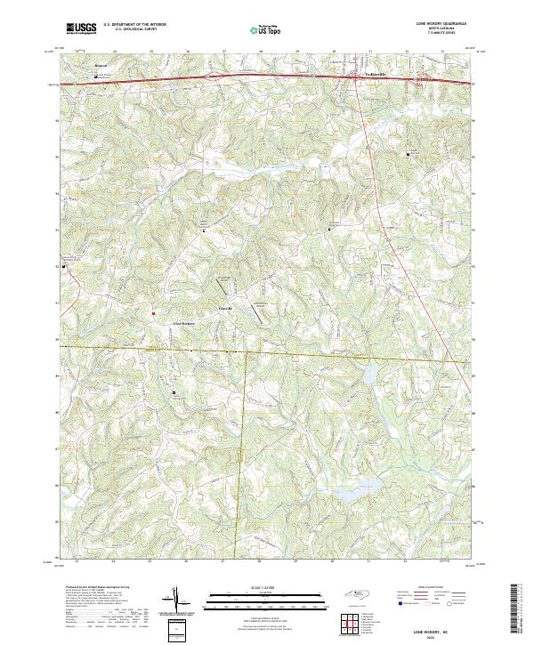 2022 Lone Hickory2022 Print · USGSYadkinville and the surrounding Piedmont countryside are shown here in the early 2020s as a landscape of established rural communities. Researchers can locate several family and community burial grounds like Sandy Springs Cem and Gospel Way Cem near Footville.
End of results
Showing maps 1-18 of 18
Top cities near Yadkinville
- Clemmons historical maps
- Lewisville historical maps
- Mocksville historical maps
- Jonesville historical maps
- Bermuda Run historical maps
- Boonville historical maps
See more
Frequently asked questions
- What are the different types of historical maps available for Yadkinville?
- What is the oldest map of Yadkinville?
- Where can I purchase historical maps of Yadkinville for my home or office?
- Where can I download high-res historical maps of Yadkinville?
- Are there historical topographic maps available for Yadkinville?
- Is there historical aerial imagery available for Yadkinville?
- Where are historical maps of Yadkinville sourced from?