
1966 Map of Yadkinville
USGS Topo · Published 1967About this map
Yadkinville and Boonville anchor this mid-1960s landscape, illustrating the transition of rural North Carolina into a more connected community during the post-war era. The sheet is exceptionally dense with centers of congregational and civic life, including Clarks Memorial Ch, Charity Ch, and the County High Sch. This concentration of small churches and cemeteries like Charity Cem provides a detailed view of the localized community structure that defined Yadkin County before more modern consolidation.
Find a feature on this map
60 named features on this map. Tap any name to fly to it.
Don’t see what you’re looking for? This feature index may not catch every label — zoom into the map to look around manually.
Map Details
Editions of this 1966 Yadkinville Map
This is the sole edition of this map. No revisions or reprints were ever made.
Other maps of this area

1891 · Yadkinville
USGS Topo · 1:125,000

1893 · Yadkinville
USGS Topo · 1:125,000

1953 · Winston-Salem
USGS Topo · 1:250,000

1955 · Winston-Salem
USGS Topo · 1:250,000

1962 · Winston-Salem
USGS Topo · 1:250,000
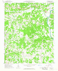
1966 · Farmington
USGS Topo · 1:24,000
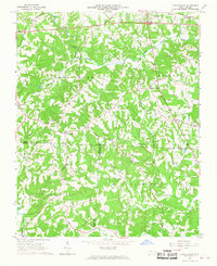
1966 · Lone Hickory
USGS Topo · 1:24,000

1966 · East Bend
USGS Topo · 1:24,000
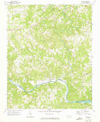
1970 · Siloam
USGS Topo · 1:24,000

1970 · Copeland
USGS Topo · 1:24,000