Old Maps of Landa, North Dakota for Metal Detecting
Plan your next treasure hunt with 10 historic maps of Landa. Find old homesites, ghost towns, trails, and gathering spots that may be lost to time — perfect for identifying promising metal detecting locations.
- Locate forgotten sites: Uncover places like long-lost settlements, abandoned rail lines, or gathering spots.
- Plan better hunts: Use map overlays combined with LiDAR or satellite views to narrow in on historically rich areas.
- Made for detectorists: Thousands of hobbyists use these maps to discover relics, coins, and hidden history.
Use these historic maps to boost your research and find new opportunities beneath the surface of Landa.
Landa, ND maps
(10)- 1949 Map of Landa, 1966 Print
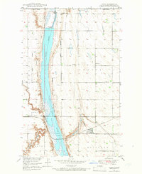 1949 Landa1966 Print · USGSThe Souris River valley and the Canadian border define this North Dakota region just after the war. Local historians can trace the Great Northern rail line and locate rural landmarks like Zion Ch, School No 1, and the Landa Cem.
 - 1950 Map of Landa
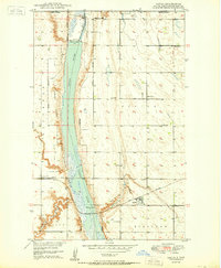 1950 Landa1950 Print · USGSNear the Canadian border in the mid-twentieth century, this Bottineau County landscape centers on the Souris River and its vast wildlife refuge. Genealogists can locate family landmarks like Landa Cem, Zion Ch, and rural schoolhouses along the Great Northern rail line.
 - 1954 Map of Minot, 1964 Print
 1954 Minot1964 Print · USGSNorth Dakota's northern borderlands are captured here in the mid-fifties, showing a landscape defined by the winding Souris River and the rise of the Turtle Mountains. Genealogists can locate family-named sidings like Hurd Siding and Truro Siding alongside the vital Great Northern rail lines.3 unique versions available
 - 1958 Map of Minot
 1958 Minot1958 Print · USGSNorthern North Dakota is shown here during the mid-fifties, dominated by the rail-driven growth of Minot and the surrounding grain-farming prairie. Genealogists can trace family connections to border towns like Westhope or explore the vast reaches of the Turtle Mountains.
 - 1980 Map of Bottineau
 1980 Bottineau1980 Print · USGSNorth Dakota's northern borderlands are shown here in the 1980s, where the high wooded hills of the Turtle Mountains meet the Souris River valley. Genealogists and historians can trace the rail networks of the Soo Line and locate landmarks like San Haven, Butte St Paul, and the International Peace Garden.
 - 2011 Map of Landa, 2011 Print
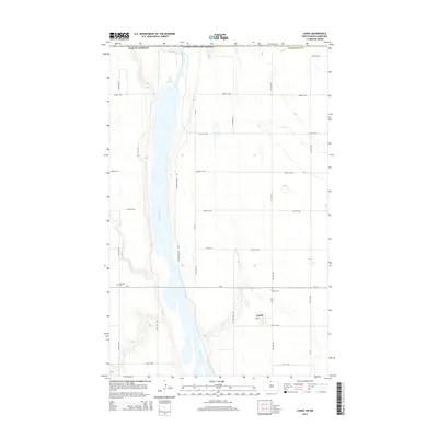
 2011 Landa2011 Print · USGSCovers Landa, including Bottineau County, Municipality of Two Borders, and other nearby areas
 - 2014 Map of Landa, 2014 Print
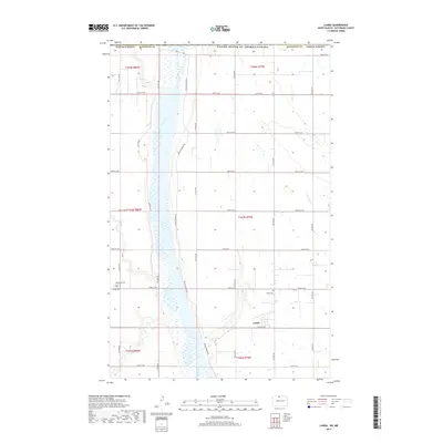
 2014 Landa2014 Print · USGSCovers Landa, including Bottineau County, Municipality of Two Borders, and other nearby areas
 - 2017 Map of Landa, 2017 Print
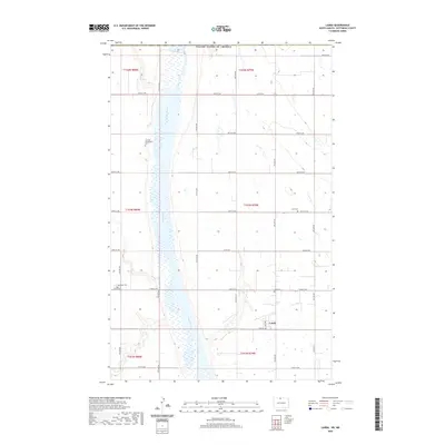
 2017 Landa2017 Print · USGSCovers Landa, including Bottineau County, Municipality of Two Borders, and other nearby areas
 - 2020 Map of Landa, 2020 Print
 2020 Landa2020 Print · USGSCovers Landa, including Bottineau County, Municipality of Two Borders, and other nearby areas
 - 2024 Map of Landa, 2024 Print
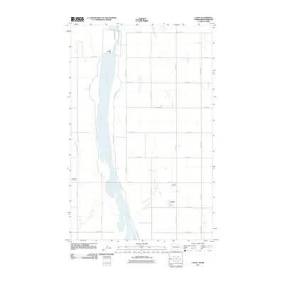
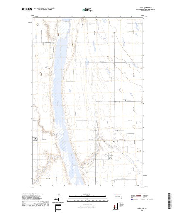 2024 Landa2024 Print · USGSBottineau County's prairie landscape is captured here in the early 2020s, showing the intersection of rural life and conservation. Researchers can locate several family and community burial sites like Acheson Homestead Cem and Nesthope Cem along the Souris River.
End of results
Showing maps 1-10 of 10
Top cities near Landa
Frequently asked questions
- What are the different types of historical maps available for Landa?
- What is the oldest map of Landa?
- Where can I purchase historical maps of Landa for my home or office?
- Where can I download high-res historical maps of Landa?
- Are there historical topographic maps available for Landa?
- Is there historical aerial imagery available for Landa?
- Where are historical maps of Landa sourced from?