Old Maps of Lignite, North Dakota for Academic Research
Study the evolution of Lignite with 16 high-resolution historic maps. Whether you're teaching, researching, or modeling changes in land use, these maps provide essential visual documentation of urban, environmental, and geographic change.
- Analyze long-term change: Track patterns in development, transportation, and natural features.
- Ideal for environmental or urban studies: Support academic projects with primary historical map data.
- Use in the classroom or lab: Educators and researchers rely on these maps to bring historical context to life.
These maps are a powerful tool for teaching, research, and visualizing how Lignite has changed over the decades.
Lignite, ND maps
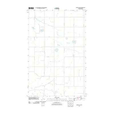
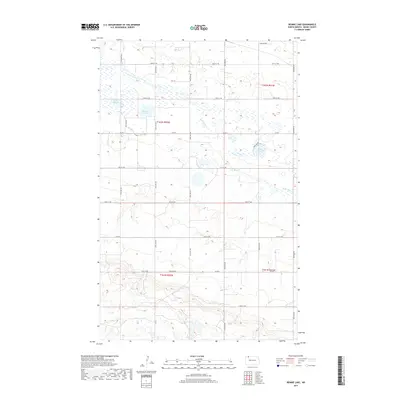
(16)- 1949 Map of Rennie Lake
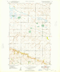 1949 Rennie Lake1949 Print · USGSNorthwestern North Dakota's prairie landscape is captured here in the late Forties, showing the intersection of rail transit and rural education. You can trace the Great Northern rail line past local landmarks like Scandia Sch and Rennie Lake.
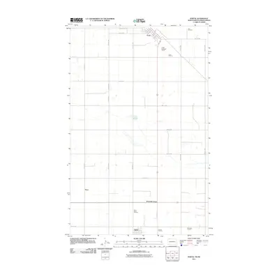
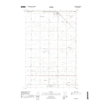
 - 1949 Map of Portal
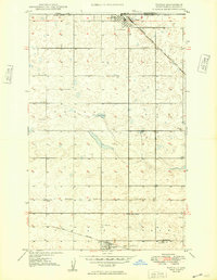 1949 Portal1949 Print · USGSThe border country of Burke County comes into focus just after the war as Portal and Lignite thrive along the railroad lines. Genealogists can trace family footprints through numerous local landmarks, including the St. Marys Cem, Scontia Sch, and the Norwegian Cem.
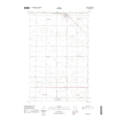
 - 1950 Map of Portal
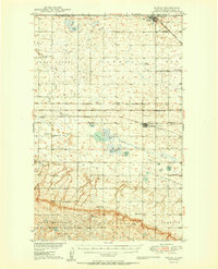 1950 Portal1950 Print · USGSThe international border at Portal and the surrounding coalfields of Burke County are captured here at mid-century. Genealogists can trace family roots through numerous country churches and ethnic burial sites like the Swedish Cem and Norwegian Cem.2 unique versions available
 - 1953 Map of Williston, 1968 Print
 1953 Williston1968 Print · USGSThe North Dakota high plains meet the waters of Sakakawea Lake in this mid-century survey of the northern borderlands. Trace the rail-and-ranch economy through sites like Anderson Sky Ranch, Sevenmile Corner, and the strip mines near Columbus.2 unique versions available
 - 1957 Map of Williston
 1957 Williston1957 Print · USGSNorthwestern North Dakota is shown here during the mid-fifties, dominated by the sweeping plains and the Missouri River valley. Genealogists and local historians can trace the paths of the Great Northern railroad through Williston, Tioga, and Ray, or locate early industry like the coal strip mines near Lignite.
 - 1982 Map of Kenmare
 1982 Kenmare1982 Print · USGSThe high plains of northwestern North Dakota meet the Canadian border in the early 1980s, an era defined by energy production and prairie conservation. Genealogists and historians can trace the rail corridors of the Soo Line through towns like Bowbells, Flaxton, and the border crossing at Portal.
 - 2011 Map of Rennie Lake, 2011 Print
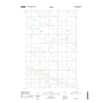
 2011 Rennie Lake2011 Print · USGSCovers Lignite, including Burke County, United States, and other nearby areas
 - 2011 Map of Portal, 2011 Print
 2011 Portal2011 Print · USGSCovers Lignite, including Portal, Seven Mile Corner, and other nearby areas
 - 2014 Map of Rennie Lake, 2014 Print
 2014 Rennie Lake2014 Print · USGSCovers Lignite, including Burke County, United States, and other nearby areas
 - 2014 Map of Portal, 2014 Print
 2014 Portal2014 Print · USGSCovers Lignite, including Portal, Seven Mile Corner, and other nearby areas
 - 2017 Map of Rennie Lake, 2017 Print
 2017 Rennie Lake2017 Print · USGSCovers Lignite, including Burke County, United States, and other nearby areas
 - 2017 Map of Portal, 2017 Print
 2017 Portal2017 Print · USGSCovers Lignite, including Portal, Seven Mile Corner, and other nearby areas
 - 2020 Map of Portal, 2020 Print
 2020 Portal2020 Print · USGSCovers Lignite, including Portal, Seven Mile Corner, and other nearby areas
 - 2020 Map of Rennie Lake, 2020 Print
 2020 Rennie Lake2020 Print · USGSCovers Lignite, including Burke County, United States, and other nearby areas
 - 2024 Map of Rennie Lake, 2024 Print
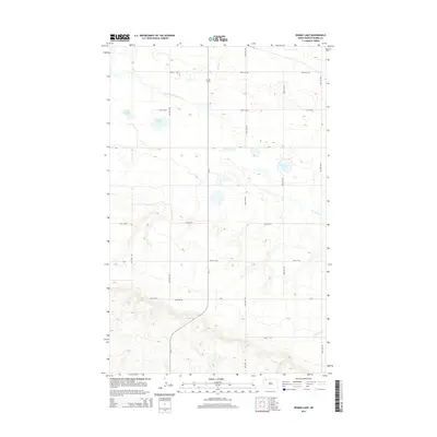
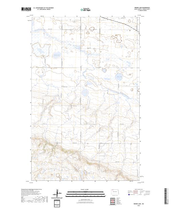 2024 Rennie Lake2024 Print · USGSNorthwestern North Dakota's prairie pothole region is mapped here in the early 2020s, showing a landscape defined by conservation and agriculture. Genealogists and land researchers can trace property boundaries and rural access via Co Rd 8 near Rennie Lake and the Burke County Waterfowl Production Area.
 - 2024 Map of Portal, 2024 Print
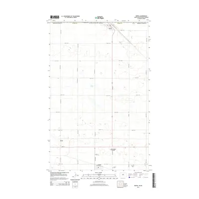
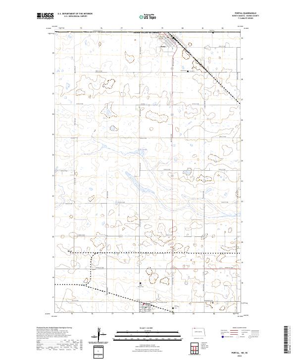 2024 Portal2024 Print · USGSThe North Dakota borderlands come into focus in this contemporary survey of the international gateway at Portal. Researchers can trace the legacy of early prairie settlers through sites like Saint Marys Cem and the rail-side settlements of Rival and Lignite.
End of results
Showing maps 1-16 of 16
Top cities near Lignite
Frequently asked questions
- What are the different types of historical maps available for Lignite?
- What is the oldest map of Lignite?
- Where can I purchase historical maps of Lignite for my home or office?
- Where can I download high-res historical maps of Lignite?
- Are there historical topographic maps available for Lignite?
- Is there historical aerial imagery available for Lignite?
- Where are historical maps of Lignite sourced from?