2000s (21st Century) Maps of Lignite, North Dakota
Explore 10 historic maps of Lignite from the 2000s (21st Century). These maps offer a rare glimpse into what life looked like during the 2000s — showing old roads, neighborhoods, homes, and landmarks that have changed or disappeared over time.
Whether you're researching your family's past, planning a metal detecting trip, or studying how Lignite's landscape evolved across the 2000s, these high-resolution maps are a powerful tool for exploring the history of this region.
- Focus on a specific era: All maps on this page are from the 2000s, giving you a focused view of this time period.
- See what’s changed: Compare century-old streets, trails, and buildings to today's modern landscape using overlays and satellite layers.
- Research with precision: Use these maps for genealogy, historical research, land use analysis, or educational projects.
- View, download, or print: Maps are fully viewable online in high resolution, and can be downloaded or printed for your own records.
Start exploring Lignite's history through authentic maps from the 2000s. This is your window into the past.
Lignite, ND maps
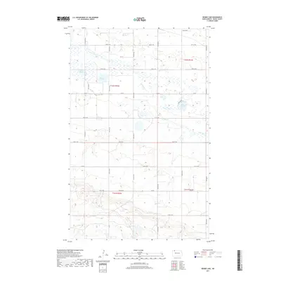
(10)- 2011 Map of Rennie Lake, 2011 Print
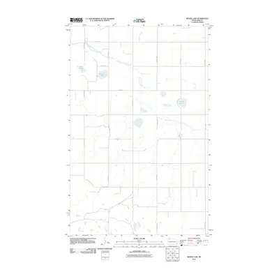 2011 Rennie Lake2011 Print · USGSCovers Lignite, including Burke County, United States, and other nearby areas
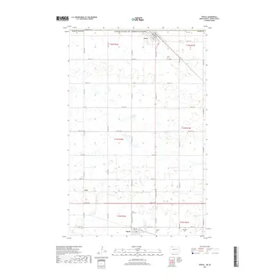
 - 2011 Map of Portal, 2011 Print
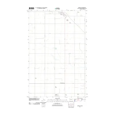 2011 Portal2011 Print · USGSCovers Lignite, including Portal, Seven Mile Corner, and other nearby areas
 - 2014 Map of Rennie Lake, 2014 Print
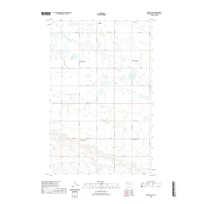
 2014 Rennie Lake2014 Print · USGSCovers Lignite, including Burke County, United States, and other nearby areas
 - 2014 Map of Portal, 2014 Print
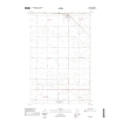
 2014 Portal2014 Print · USGSCovers Lignite, including Portal, Seven Mile Corner, and other nearby areas
 - 2017 Map of Rennie Lake, 2017 Print
 2017 Rennie Lake2017 Print · USGSCovers Lignite, including Burke County, United States, and other nearby areas
 - 2017 Map of Portal, 2017 Print
 2017 Portal2017 Print · USGSCovers Lignite, including Portal, Seven Mile Corner, and other nearby areas
 - 2020 Map of Portal, 2020 Print
 2020 Portal2020 Print · USGSCovers Lignite, including Portal, Seven Mile Corner, and other nearby areas
 - 2020 Map of Rennie Lake, 2020 Print
 2020 Rennie Lake2020 Print · USGSCovers Lignite, including Burke County, United States, and other nearby areas
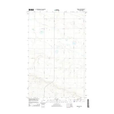
 - 2024 Map of Rennie Lake, 2024 Print
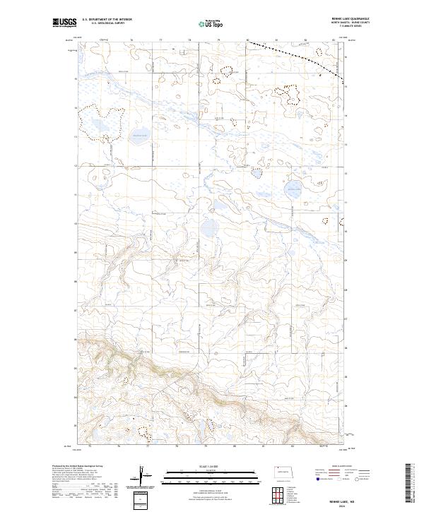 2024 Rennie Lake2024 Print · USGSNorthwestern North Dakota's prairie pothole region is mapped here in the early 2020s, showing a landscape defined by conservation and agriculture. Genealogists and land researchers can trace property boundaries and rural access via Co Rd 8 near Rennie Lake and the Burke County Waterfowl Production Area.
 - 2024 Map of Portal, 2024 Print
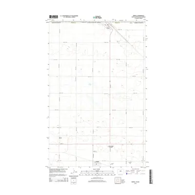
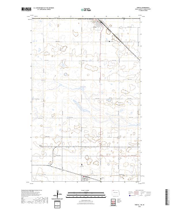 2024 Portal2024 Print · USGSThe North Dakota borderlands come into focus in this contemporary survey of the international gateway at Portal. Researchers can trace the legacy of early prairie settlers through sites like Saint Marys Cem and the rail-side settlements of Rival and Lignite.
End of results
Showing maps 1-10 of 10
Top cities near Lignite
Frequently asked questions
- What are the different types of historical maps available for Lignite?
- What is the oldest map of Lignite?
- Where can I purchase historical maps of Lignite for my home or office?
- Where can I download high-res historical maps of Lignite?
- Are there historical topographic maps available for Lignite?
- Is there historical aerial imagery available for Lignite?
- Where are historical maps of Lignite sourced from?