Old Maps of Richwood Estates, Argusville
Explore 10 old maps of Richwood Estates, spanning from 1952 to today. These high-resolution historic maps reveal how streets, neighborhoods, landmarks, and natural features evolved over time — perfect for genealogy, metal detecting, research, and local history exploration.
What you can do with these maps:
- See how Richwood Estates changed over time: Compare historical maps to modern-day views to trace roads, homesites, rail lines & more.
- View detailed metadata: Each map includes creators, publishers, year, scale, and archive source.
- Overlay maps with satellite & LiDAR: Visualize the past alongside modern tools to explore terrain & human change.
- Trusted historical sources: Maps sourced from the USGS, Library of Congress, and other archives.
- Access maps your way: View online, download high-res files, or order prints for personal or research use.
Start exploring old maps of Richwood Estates to uncover forgotten places, hidden landmarks, and the deep history beneath your feet.
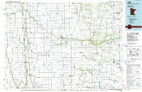
Richwood Estates, Argusville maps
(10)- 1952 Map of Grand Forks, 1967 Print
 1952 Grand Forks1967 Print · USGSThe Red River Valley in the early fifties is shown here at the height of its rail-and-river agricultural economy. Researchers can locate small-town landmarks like the Pleasant View School, the Immanuel Lutheran Church, and trace the path of the Soo Line Railroad.3 unique versions available
 - 1956 Map of Grand Forks
 1956 Grand Forks1956 Print · USGSThe Red River Valley in the mid-fifties is captured here as a thriving corridor of grain elevators and rail-linked towns along the North Dakota and Minnesota border. Researchers can trace historic church sites like Immanuel Lutheran Church, vanished rail stops at Tilde Junction, and the boundaries of the White Earth Indian Reservation.
 - 1963 Map of Argusville, 1964 Print
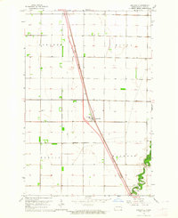 1963 Argusville1964 Print · USGSCass County agriculture and infrastructure intersect during the early sixties as a new rail line changes the prairie landscape. Genealogists and local historians can trace the Argusville boundaries, the High Sch, and the Argusville Cem.2 unique versions available
 - 1966 Map of Grand Forks
 1966 Grand Forks1966 Print · USGSThe Red River Valley in the mid-sixties shows a landscape shaped by rail-line commerce and complex water management. Genealogists and historians can trace rail-side towns like Emerado and Hunter or locate rural landmarks like the Pleasant View Church.
 - 1984 Map of Ada, 1985 Print
 1984 Ada1985 Print · USGSThe Red River Valley's agricultural heartland is documented here in the mid-1980s, showcasing the extensive network of drainage ditches and rail lines that powered the region. Genealogists and local historians can trace family locations near Ada, Fertile, and along the Burlington Northern line.2 unique versions available
 - 2011 Map of Argusville, 2011 Print
 2011 Argusville2011 Print · USGSCovers Richwood Estates, including Argusville, Berlin Township, and other nearby areas
 - 2014 Map of Argusville, 2014 Print
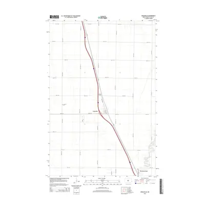 2014 Argusville2014 Print · USGSCovers Richwood Estates, including Argusville, Berlin Township, and other nearby areas
 - 2018 Map of Argusville, 2018 Print
 2018 Argusville2018 Print · USGSCovers Richwood Estates, including Argusville, Berlin Township, and other nearby areas
 - 2020 Map of Argusville, 2020 Print
 2020 Argusville2020 Print · USGSCovers Richwood Estates, including Argusville, Berlin Township, and other nearby areas
 - 2024 Map of Argusville, 2024 Print
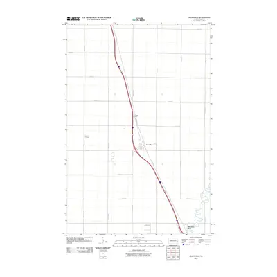
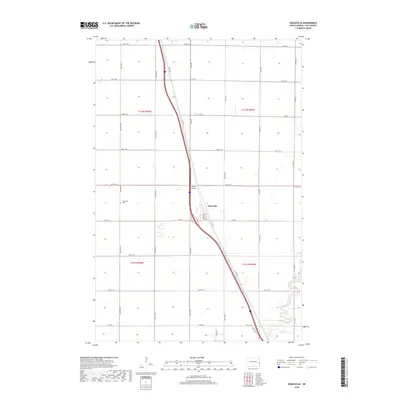
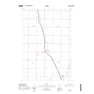
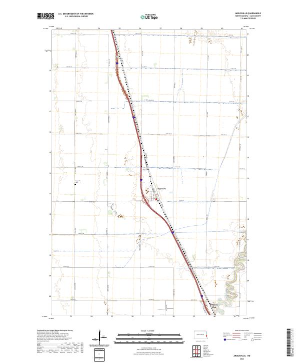 2024 Argusville2024 Print · USGSArgusville and the surrounding Red River Valley prairies are captured here in the early twenty-first century as modern transport meets traditional section lines. Genealogists and local historians can locate the Argusville Cem, trace the winding Sheyenne River, and identify sites like Lisburg Airport.
End of results
Showing maps 1-10 of 10
Frequently asked questions
- What are the different types of historical maps available for Richwood Estates?
- What is the oldest map of Richwood Estates?
- Where can I purchase historical maps of Richwood Estates for my home or office?
- Where can I download high-res historical maps of Richwood Estates?
- Are there historical topographic maps available for Richwood Estates?
- Is there historical aerial imagery available for Richwood Estates?
- Where are historical maps of Richwood Estates sourced from?