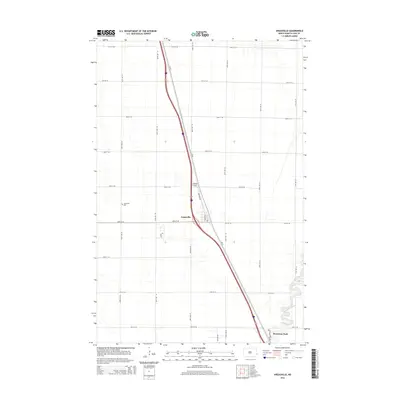
2014 Map of Argusville
USGS Topo · Published 2014About this map
Argusville serves as the central hub of this Red River Valley landscape, situated along a major north-south transportation corridor. The settlement is characterized by a precise grid of residential streets like Drane Ave and specialized infrastructure such as Lisburg Airport. Outside the town center, the terrain is defined by the expansive section-line road network typical of the region, including 25th St SE and 168th Ave SE, which partition the agricultural fields. In the southeast, the Sheyenne River introduces the only significant natural variation to the topography, its meandering course creating a distinct riparian zone that includes Brooktree Park. Genealogists may find particular value in the location of the Argusville Cem, positioned just west of the main town site along 166th Ave SE.
Find a feature on this map
24 named features on this map. Tap any name to fly to it.
Don’t see what you’re looking for? This feature index may not catch every label — zoom into the map to look around manually.
Map Details
Editions of this 2014 Argusville Map
This is the sole edition of this map. No revisions or reprints were ever made.
Other maps of this area

1895 · Fargo
USGS Topo · 1:125,000

1895 · Casselton
USGS Topo · 1:125,000

1897 · Fargo
USGS Topo · 1:125,000

1897 · Casselton
USGS Topo · 1:125,000

1952 · Grand Forks
USGS Topo · 1:250,000

1953 · Fargo
USGS Topo · 1:250,000

1956 · Fargo
USGS Topo · 1:250,000

1956 · Grand Forks
USGS Topo · 1:250,000

1959 · Fargo North
USGS Topo · 1:24,000

1959 · West Fargo
USGS Topo · 1:24,000