Old Maps of Gardner Township, North Dakota for Metal Detecting
Plan your next treasure hunt with 29 historic maps of Gardner Township. Find old homesites, ghost towns, trails, and gathering spots that may be lost to time — perfect for identifying promising metal detecting locations.
- Locate forgotten sites: Uncover places like long-lost settlements, abandoned rail lines, or gathering spots.
- Plan better hunts: Use map overlays combined with LiDAR or satellite views to narrow in on historically rich areas.
- Made for detectorists: Thousands of hobbyists use these maps to discover relics, coins, and hidden history.
Use these historic maps to boost your research and find new opportunities beneath the surface of Gardner Township.
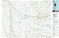
Gardner Township, ND maps
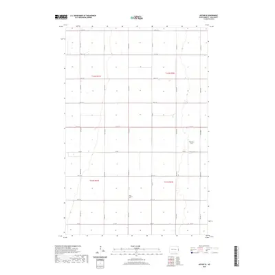
(29)- 1952 Map of Grand Forks, 1967 Print
 1952 Grand Forks1967 Print · USGSThe Red River Valley in the early fifties is shown here at the height of its rail-and-river agricultural economy. Researchers can locate small-town landmarks like the Pleasant View School, the Immanuel Lutheran Church, and trace the path of the Soo Line Railroad.3 unique versions available
 - 1956 Map of Grand Forks
 1956 Grand Forks1956 Print · USGSThe Red River Valley in the mid-fifties is captured here as a thriving corridor of grain elevators and rail-linked towns along the North Dakota and Minnesota border. Researchers can trace historic church sites like Immanuel Lutheran Church, vanished rail stops at Tilde Junction, and the boundaries of the White Earth Indian Reservation.
 - 1963 Map of Argusville, 1964 Print
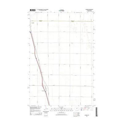
 1963 Argusville1964 Print · USGSCass County agriculture and infrastructure intersect during the early sixties as a new rail line changes the prairie landscape. Genealogists and local historians can trace the Argusville boundaries, the High Sch, and the Argusville Cem.2 unique versions available
 - 1963 Map of Gardner, 1964 Print
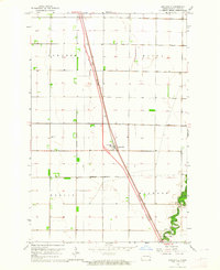
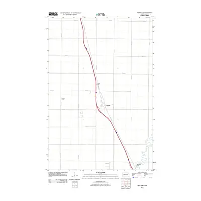
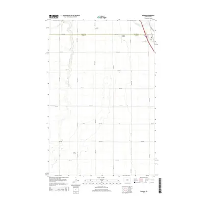
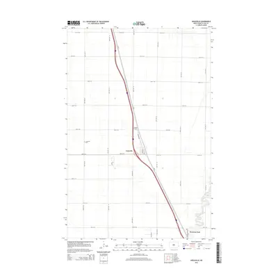
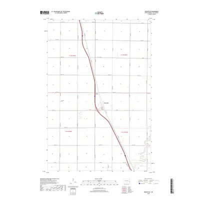
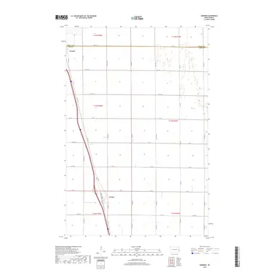
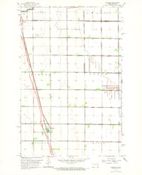 1963 Gardner1964 Print · USGSThe Red River Valley prairie is captured in the early sixties at the border of Traill County and Cass County. Researchers can trace rail history and land use through the Great Northern line and the townships of Kinyon and Noble.
 - 1966 Map of Grand Forks
 1966 Grand Forks1966 Print · USGSThe Red River Valley in the mid-sixties shows a landscape shaped by rail-line commerce and complex water management. Genealogists and historians can trace rail-side towns like Emerado and Hunter or locate rural landmarks like the Pleasant View Church.
 - 1966 Map of Arthur SE, 1968 Print
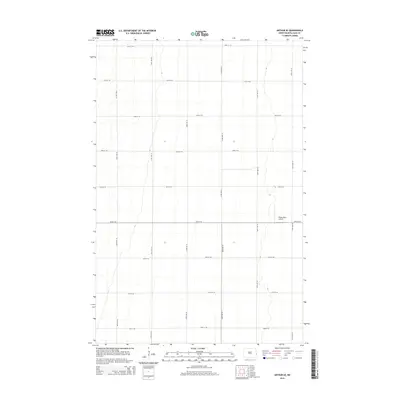
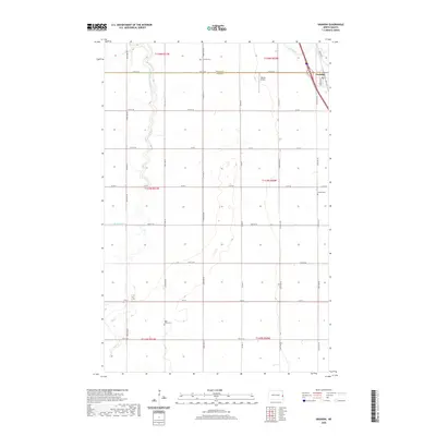
 1966 Arthur SE1968 Print · USGSCass County farmland is captured in the mid-sixties, showing the highly organized township system of the Red River Valley. Genealogists and local historians can locate early farmsteads and the Herby Ch within the districts of Gardner and Berlin.
 - 1967 Map of Grandin, 1969 Print
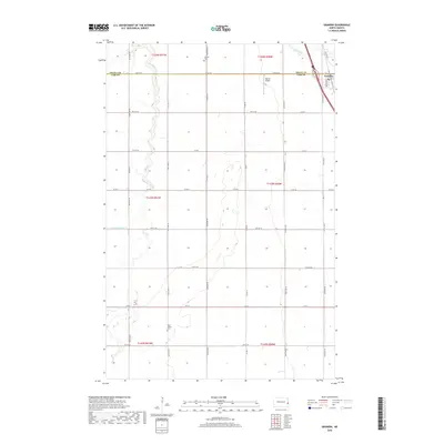
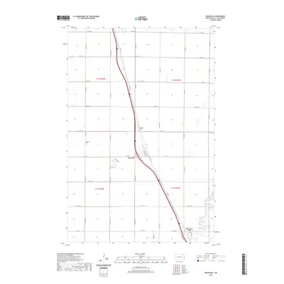
 1967 Grandin1969 Print · USGSGrandin and the surrounding Red River Valley prairie are captured in the late sixties at a moment of infrastructure growth. Genealogists and historians can trace family plots at Rose Valley Cem and follow the legacy of the Great Northern railroad.2 unique versions available
 - 1984 Map of Ada, 1985 Print
 1984 Ada1985 Print · USGSThe Red River Valley's agricultural heartland is documented here in the mid-1980s, showcasing the extensive network of drainage ditches and rail lines that powered the region. Genealogists and local historians can trace family locations near Ada, Fertile, and along the Burlington Northern line.2 unique versions available
 - 1985 Map of Hillsboro
 1985 Hillsboro1985 Print · USGSEastern North Dakota’s expansive farming country is mapped here in the mid-1980s, showing the vital link between rail lines and prairie towns. Genealogists and historians can trace family locations near Mayville, Sherbrooke, and the Mayville Cem.2 unique versions available
 - 2011 Map of Argusville, 2011 Print
 2011 Argusville2011 Print · USGSCovers Gardner Township, including Argusville, Berlin Township, and other nearby areas
 - 2011 Map of Gardner, 2011 Print
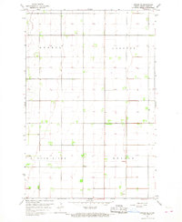
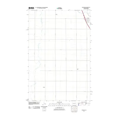
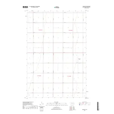
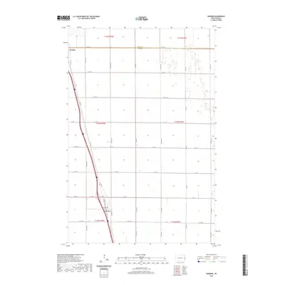
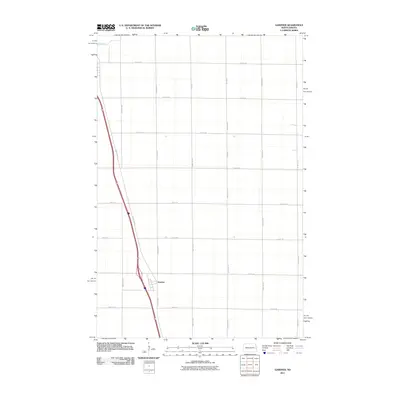 2011 Gardner2011 Print · USGSCovers Gardner Township, including Gardner, Noble Township, and other nearby areas
 - 2011 Map of Arthur SE, 2011 Print
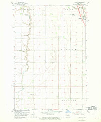
 2011 Arthur SE2011 Print · USGSCovers Gardner Township, including Berlin Township, Gunkel Township, and other nearby areas
 - 2011 Map of Grandin, 2011 Print
 2011 Grandin2011 Print · USGSCovers Gardner Township, including Grandin, Bell Township, and other nearby areas
 - 2014 Map of Grandin, 2014 Print
 2014 Grandin2014 Print · USGSCovers Gardner Township, including Grandin, Bell Township, and other nearby areas
 - 2014 Map of Arthur SE, 2014 Print
 2014 Arthur SE2014 Print · USGSCovers Gardner Township, including Berlin Township, Gunkel Township, and other nearby areas
 - 2014 Map of Gardner, 2014 Print
 2014 Gardner2014 Print · USGSCovers Gardner Township, including Gardner, Noble Township, and other nearby areas
 - 2014 Map of Argusville, 2014 Print
 2014 Argusville2014 Print · USGSCovers Gardner Township, including Argusville, Berlin Township, and other nearby areas
 - 2017 Map of Arthur SE, 2017 Print
 2017 Arthur SE2017 Print · USGSCovers Gardner Township, including Berlin Township, Gunkel Township, and other nearby areas
 - 2018 Map of Grandin, 2018 Print
 2018 Grandin2018 Print · USGSCovers Gardner Township, including Grandin, Bell Township, and other nearby areas
 - 2018 Map of Argusville, 2018 Print
 2018 Argusville2018 Print · USGSCovers Gardner Township, including Argusville, Berlin Township, and other nearby areas
 - 2018 Map of Gardner, 2018 Print
 2018 Gardner2018 Print · USGSCovers Gardner Township, including Gardner, Noble Township, and other nearby areas
 - 2020 Map of Argusville, 2020 Print
 2020 Argusville2020 Print · USGSCovers Gardner Township, including Argusville, Berlin Township, and other nearby areas
 - 2020 Map of Gardner, 2020 Print
 2020 Gardner2020 Print · USGSCovers Gardner Township, including Gardner, Noble Township, and other nearby areas
 - 2020 Map of Grandin, 2020 Print
 2020 Grandin2020 Print · USGSCovers Gardner Township, including Grandin, Bell Township, and other nearby areas
 - 2020 Map of Arthur SE, 2020 Print
 2020 Arthur SE2020 Print · USGSCovers Gardner Township, including Berlin Township, Gunkel Township, and other nearby areas
Showing maps 1-25 of 29
Top cities near Gardner Township
- Fargo historical maps
- West Fargo historical maps
- Moorhead historical maps
- Casselton historical maps
- Harwood historical maps
- Mapleton historical maps
See more
Frequently asked questions
- What are the different types of historical maps available for Gardner Township?
- What is the oldest map of Gardner Township?
- Where can I purchase historical maps of Gardner Township for my home or office?
- Where can I download high-res historical maps of Gardner Township?
- Are there historical topographic maps available for Gardner Township?
- Is there historical aerial imagery available for Gardner Township?
- Where are historical maps of Gardner Township sourced from?