Old Maps of Milton, North Dakota for Metal Detecting
Plan your next treasure hunt with 15 historic maps of Milton. Find old homesites, ghost towns, trails, and gathering spots that may be lost to time — perfect for identifying promising metal detecting locations.
- Locate forgotten sites: Uncover places like long-lost settlements, abandoned rail lines, or gathering spots.
- Plan better hunts: Use map overlays combined with LiDAR or satellite views to narrow in on historically rich areas.
- Made for detectorists: Thousands of hobbyists use these maps to discover relics, coins, and hidden history.
Use these historic maps to boost your research and find new opportunities beneath the surface of Milton.
Milton, ND maps
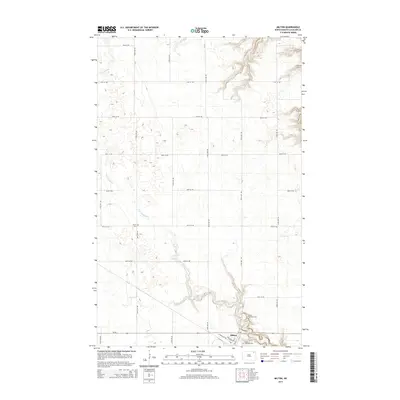
(15)- 1953 Map of Devils Lake, 1968 Print
 1953 Devils Lake1968 Print · USGSNorth Dakota's northern plains are captured here in the mid-fifties, showing a landscape of rail-fed grain elevators and prairie wetlands. Genealogists can locate family landmarks like Rose Hill School, Hurricane Lake Church, and the Turtle Mountain Indian Reservation.3 unique versions available
 - 1956 Map of Devils Lake
 1956 Devils Lake1956 Print · USGSNorthern North Dakota is shown at a mid-century peak of rail-driven agriculture, where the Soo Line and Great Northern railroads cross the prairie. Trace the borders of the Turtle Mountain Indian Reservation and locate local landmarks like Rose Hill School or Camp Grafton.
 - 1972 Map of Milton, 1975 Print
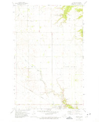 1972 Milton1975 Print · USGSCavalier County's agricultural heartland is documented here during the early seventies, centered on the village of Milton and its rail connections. Genealogists and local historians can trace family locations near North Dovre Ch, Dovre Cem, and Fjalla Ch.
 - 1972 Map of Waterloo Lake, 1975 Print
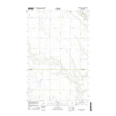
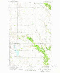 1972 Waterloo Lake1975 Print · USGSThe prairie landscape of northeastern North Dakota is documented here in the early 1970s, showing the convergence of the three branches of the Park River. Researchers can locate early township landmarks like Hitterdal Cem, the town of Milton, and the Burlington Northern rail line.
 - 1985 Map of Langdon
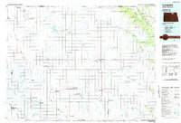 1985 Langdon1985 Print · USGSCavalier County and the surrounding prairie are captured here in the mid-1980s as the rail-and-agriculture economy shaped the landscape. Researchers can trace rural lineages through dozens of small settlements like Munich, Nekoma, and Osnabrock, or follow the lines of the Burlington Northern and Soo Line railroads.2 unique versions available
 - 2011 Map of Milton, 2011 Print
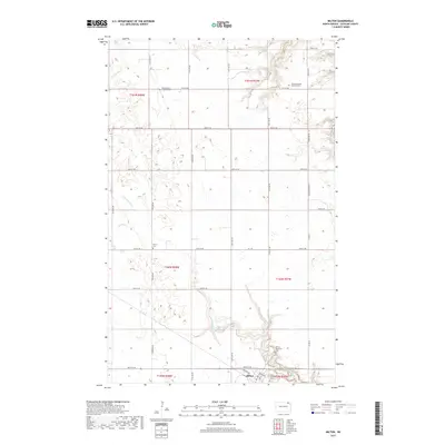
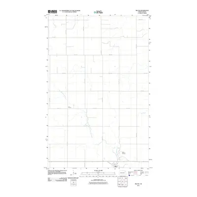 2011 Milton2011 Print · USGSCovers Milton, including Cavalier County, United States, and other nearby areas
 - 2011 Map of Waterloo Lake, 2011 Print
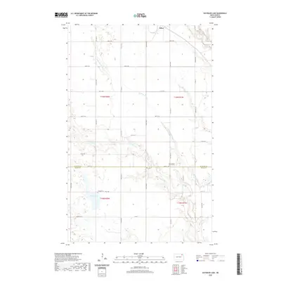
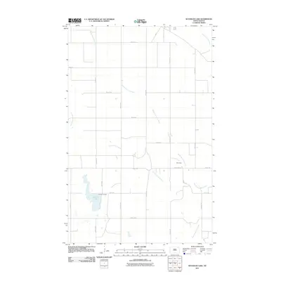 2011 Waterloo Lake2011 Print · USGSCovers Milton, including Cavalier County, Walsh County, and other nearby areas
 - 2014 Map of Milton, 2014 Print
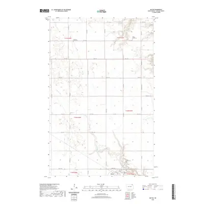
 2014 Milton2014 Print · USGSCovers Milton, including Cavalier County, United States, and other nearby areas
 - 2014 Map of Waterloo Lake, 2014 Print
 2014 Waterloo Lake2014 Print · USGSCovers Milton, including Cavalier County, Walsh County, and other nearby areas
 - 2017 Map of Waterloo Lake, 2017 Print
 2017 Waterloo Lake2017 Print · USGSCovers Milton, including Cavalier County, Walsh County, and other nearby areas
 - 2017 Map of Milton, 2017 Print
 2017 Milton2017 Print · USGSCovers Milton, including Cavalier County, United States, and other nearby areas
 - 2020 Map of Waterloo Lake, 2020 Print
 2020 Waterloo Lake2020 Print · USGSCovers Milton, including Cavalier County, Walsh County, and other nearby areas
 - 2020 Map of Milton, 2020 Print
 2020 Milton2020 Print · USGSCovers Milton, including Cavalier County, United States, and other nearby areas
 - 2024 Map of Milton, 2024 Print
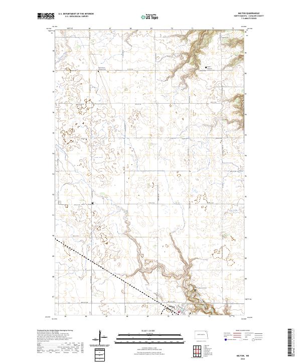 2024 Milton2024 Print · USGSCavalier County at the start of the 2020s remains a landscape of deep-rooted prairie heritage. Researchers can trace ancestral connections at North Dovre Lutheran Cem, Fjalla Icelandic Lutheran Cem, and the streets of Milton.
 - 2024 Map of Waterloo Lake, 2024 Print
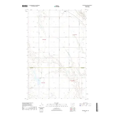
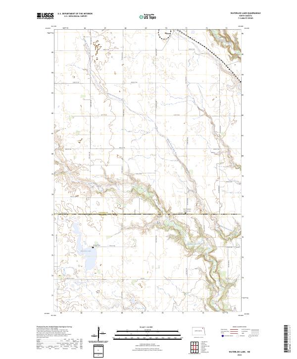 2024 Waterloo Lake2024 Print · USGSNorth Dakota's northern prairie reveals a landscape of winding river branches and protected wetlands in the early twenty-first century. Genealogists and local historians can locate Hitterdal Cem, the village of Milton, and the banks of Waterloo Lake.
End of results
Showing maps 1-15 of 15
Top cities near Milton
- Edinburg historical maps
- Adams historical maps
- Osnabrock historical maps
- Mountain historical maps
- Gardar historical maps
- Fairdale historical maps
See more
Frequently asked questions
- What are the different types of historical maps available for Milton?
- What is the oldest map of Milton?
- Where can I purchase historical maps of Milton for my home or office?
- Where can I download high-res historical maps of Milton?
- Are there historical topographic maps available for Milton?
- Is there historical aerial imagery available for Milton?
- Where are historical maps of Milton sourced from?