Old Maps of Olga, North Dakota for Genealogy
Trace your family roots with 9 historic maps of Olga. These high-res maps reveal old neighborhoods, homesites, landmarks, and streets — helping you uncover where your ancestors lived and how the area evolved over time.
- Explore historic neighborhoods: Identify where your relatives may have lived in the 1800s or 1900s.
- Compare maps over time: Trace the changes in streets, buildings, and landmarks for multi-generational research.
- Perfect for genealogy & ancestry research: Used by family historians and researchers to map out lineage and migration.
These maps are an incredible resource for exploring your personal connection to Olga's past.
Olga, ND maps
(9)- 1953 Map of Devils Lake, 1968 Print
 1953 Devils Lake1968 Print · USGSNorth Dakota's northern plains are captured here in the mid-fifties, showing a landscape of rail-fed grain elevators and prairie wetlands. Genealogists can locate family landmarks like Rose Hill School, Hurricane Lake Church, and the Turtle Mountain Indian Reservation.3 unique versions available
 - 1956 Map of Devils Lake
 1956 Devils Lake1956 Print · USGSNorthern North Dakota is shown at a mid-century peak of rail-driven agriculture, where the Soo Line and Great Northern railroads cross the prairie. Trace the borders of the Turtle Mountain Indian Reservation and locate local landmarks like Rose Hill School or Camp Grafton.
 - 1972 Map of Olga, 1975 Print
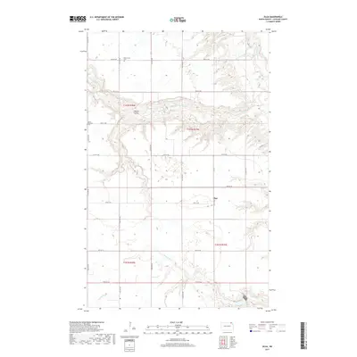
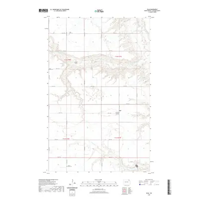
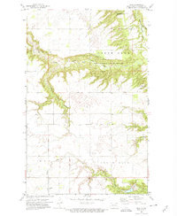 1972 Olga1975 Print · USGSCavalier County was still a landscape of remote rural churches and deep river coulees in the early seventies. Genealogists and local historians can trace the foundations of this community through Olga, the South Pembina Ch, and the Goldberg Ch.
 - 1985 Map of Langdon
 1985 Langdon1985 Print · USGSCavalier County and the surrounding prairie are captured here in the mid-1980s as the rail-and-agriculture economy shaped the landscape. Researchers can trace rural lineages through dozens of small settlements like Munich, Nekoma, and Osnabrock, or follow the lines of the Burlington Northern and Soo Line railroads.2 unique versions available
 - 2011 Map of Olga, 2011 Print
 2011 Olga2011 Print · USGSCovers Olga, including Cavalier County, United States, and other nearby areas
 - 2014 Map of Olga, 2014 Print
 2014 Olga2014 Print · USGSCovers Olga, including Cavalier County, United States, and other nearby areas
 - 2017 Map of Olga, 2017 Print
 2017 Olga2017 Print · USGSCovers Olga, including Cavalier County, United States, and other nearby areas
 - 2020 Map of Olga, 2020 Print
 2020 Olga2020 Print · USGSCovers Olga, including Cavalier County, United States, and other nearby areas
 - 2024 Map of Olga, 2024 Print
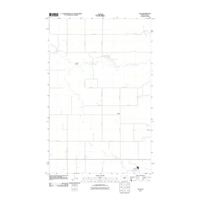
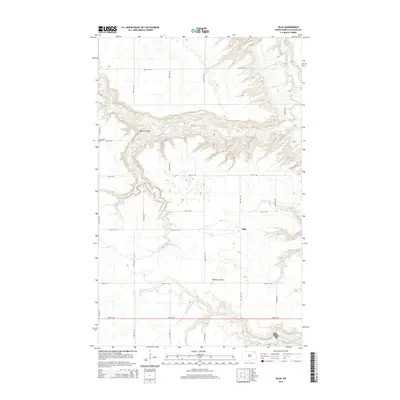
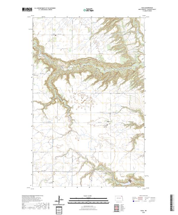 2024 Olga2024 Print · USGSCavalier County agricultural lands and river valleys are captured here in modern detail, showcasing the rural heart of North Dakota. Genealogists can trace family roots through numerous local sites including Our Lady of the Sacred Heart Cem, Poplar Grove Cem, and the village of Olga.
End of results
Showing maps 1-9 of 9
Top cities near Olga
- Walhalla historical maps
- Osnabrock historical maps
- Mountain historical maps
- Gardar historical maps
- Milton historical maps
- Easby historical maps
Frequently asked questions
- What are the different types of historical maps available for Olga?
- What is the oldest map of Olga?
- Where can I purchase historical maps of Olga for my home or office?
- Where can I download high-res historical maps of Olga?
- Are there historical topographic maps available for Olga?
- Is there historical aerial imagery available for Olga?
- Where are historical maps of Olga sourced from?