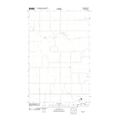
2011 Map of Olga
USGS Topo · Published 2011About this map
Olga sits at the heart of this Cavalier County landscape, where the prairie is defined by a grid of agricultural section lines and the winding paths of two primary waterways. The Little South Pembina River meanders across the northern portion of the quadrangle, joined by the distinctive O'Brien Coulee, while the Tongue River cuts through the southern reaches. These drainage patterns influenced early settlement and road placement, seen in the transition from the rigid geometry of routes like Darling Rd to the more organic paths following the river breaks. Local water management is evident through features such as Young Dam and Olga Dam, which highlight the necessity of resource conservation in this rural North Dakota environment. The map captures the quiet character of the region, anchored by the small settlement of Olga.
Find a feature on this map
18 named features on this map. Tap any name to fly to it.
Don’t see what you’re looking for? This feature index may not catch every label — zoom into the map to look around manually.
Map Details
Editions of this 2011 Olga Map
This is the sole edition of this map. No revisions or reprints were ever made.
Other maps of this area

1918 · Walhalla
USGS Topo · 1:62,500

1943 · Walhalla
USGS Topo · 1:62,500

1952 · Thief River Falls
USGS Topo · 1:250,000

1953 · Devils Lake
USGS Topo · 1:250,000

1956 · Thief River Falls
USGS Topo · 1:250,000

1956 · Devils Lake
USGS Topo · 1:250,000

1957 · Thief River Falls
USGS Topo · 1:250,000

1964 · Walhalla
USGS Topo · 1:24,000
1964 · Concrete
USGS Topo · 1:24,000
1964 · Hanks Corner
USGS Topo · 1:24,000