Loading...
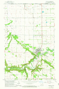
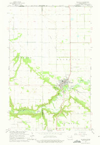
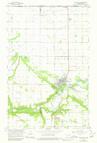
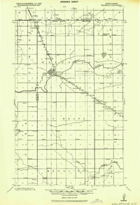
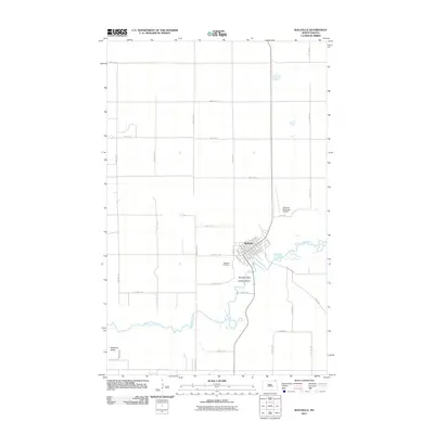
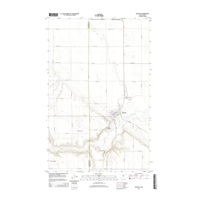
Loading map...1964 Map of Walhalla
USGS Topo · Published 1965About this map
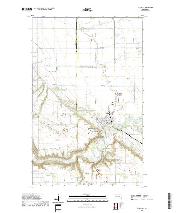
Walhalla sits at the base of the Pembina Escarpment, where the Pembina River winds through deep wooded valleys before entering the flat agricultural lands of the Red River Valley. This mid-1960s survey documents the town’s role as a regional hub, featuring the Walhalla Airport and its proximity to the Canada-United States border, marked by the Port of Entry US Customs. The landscape is defined by the sharp transition from the elevated plateaus of North Olga and Fremont down to the river basin.
Find a feature on this map
22 named features on this map. Tap any name to fly to it.
Don’t see what you’re looking for? This feature index may not catch every label — zoom into the map to look around manually.
Map Details
Date Portrayed1964
Date Published1965
PublisherU.S. Geological Survey
Map TypeTopographic
Scale1:24,000
Physical Dimensions18 x 26.8 inches
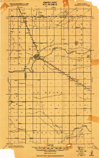
Editions of this 1964 Walhalla Map
3 editions found
Historical Maps of Walhalla Through Time
8 maps found

Featured Locations
Source Details
SourceU.S. Geological Survey
CopyrightPublic Domain