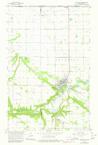
1964 Map of Walhalla
USGS Topo · Published 1980About this map
The town of Walhalla sits at the junction of the river valley and the rising Pembina Hills in this mid-1960s survey, updated with photo-revisions from the late 1970s. The Pembina River carves a deep, winding path through the landscape, flanked by steep slopes and a series of Gravel Pits that suggest local industrial activity. The settlement pattern is defined by the rigid grid of the Lisgar District to the north and the townships of Fremont and Walhalla, while the river's hydrology is monitored at a Gaging Station.
Find a feature on this map
21 named features on this map. Tap any name to fly to it.
Don’t see what you’re looking for? This feature index may not catch every label — zoom into the map to look around manually.
Map Details
Editions of this 1964 Walhalla Map
3 editions found
Other maps of this area

1918 · Walhalla
USGS Topo · 1:62,500

1943 · Walhalla
USGS Topo · 1:62,500

1952 · Thief River Falls
USGS Topo · 1:250,000

1953 · Devils Lake
USGS Topo · 1:250,000

1956 · Thief River Falls
USGS Topo · 1:250,000

1956 · Devils Lake
USGS Topo · 1:250,000

1957 · Thief River Falls
USGS Topo · 1:250,000

1964 · Hallson
USGS Topo · 1:24,000

1964 · Leroy
USGS Topo · 1:24,000

1964 · Walhalla
USGS Topo · 1:24,000