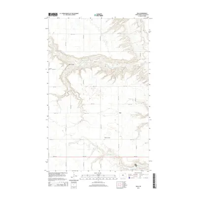
2014 Map of Olga
USGS Topo · Published 2014About this map
Olga sits atop the high plains of Cavalier County, where the agricultural grid meets the dramatic incisions of the Little S Pembina River and Tongue River valleys. This 2014 survey captures a landscape defined by deep ravines and coulees that break the geometric regularity of the section-line roads. The topography is dominated by O'Brien Coulee, which winds through the center of the sheet, and the winding course of the Little South Pembina River to the north. For genealogists and local historians, the S Pembina Cem serves as a critical landmark on the western edge of the map, situated just off 98th St NE. The settlement patterns here reflect the enduring rural character of North Dakota, with long stretches of gravel roads like 120th Ave NE connecting isolated homesteads and farmland between the river breaks.
Find a feature on this map
19 named features on this map. Tap any name to fly to it.
Don’t see what you’re looking for? This feature index may not catch every label — zoom into the map to look around manually.
Map Details
Editions of this 2014 Olga Map
This is the sole edition of this map. No revisions or reprints were ever made.
Other maps of this area
1918 · Walhalla
USGS Topo · 1:62,500
1943 · Walhalla
USGS Topo · 1:62,500

1952 · Thief River Falls
USGS Topo · 1:250,000

1953 · Devils Lake
USGS Topo · 1:250,000

1956 · Thief River Falls
USGS Topo · 1:250,000

1956 · Devils Lake
USGS Topo · 1:250,000

1957 · Thief River Falls
USGS Topo · 1:250,000
1964 · Walhalla
USGS Topo · 1:24,000
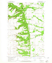
1964 · Concrete
USGS Topo · 1:24,000
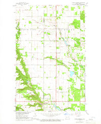
1964 · Hanks Corner
USGS Topo · 1:24,000