2000s (21st Century) Maps of Dickey County, North Dakota
Explore 180 historic maps of Dickey County from the 2000s (21st Century). These maps offer a rare glimpse into what life looked like during the 2000s — showing old roads, neighborhoods, homes, and landmarks that have changed or disappeared over time.
Whether you're researching your family's past, planning a metal detecting trip, or studying how Dickey County's landscape evolved across the 2000s, these high-resolution maps are a powerful tool for exploring the history of this region.
- Focus on a specific era: All maps on this page are from the 2000s, giving you a focused view of this time period.
- See what’s changed: Compare century-old streets, trails, and buildings to today's modern landscape using overlays and satellite layers.
- Research with precision: Use these maps for genealogy, historical research, land use analysis, or educational projects.
- View, download, or print: Maps are fully viewable online in high resolution, and can be downloaded or printed for your own records.
Start exploring Dickey County's history through authentic maps from the 2000s. This is your window into the past.
Dickey County, ND maps
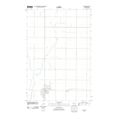
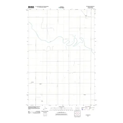
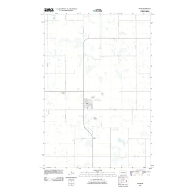
(180)- 2011 Map of Savo NE, 2011 Print
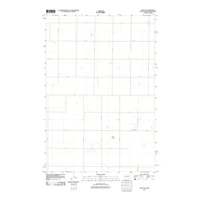 2011 Savo NE2011 Print · USGSCovers Dickey County, including Savo Township, Ada Township, and other nearby areas
 - 2011 Map of Frederick NW, 2011 Print
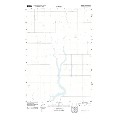 2011 Frederick NW2011 Print · USGSCovers Dickey County, including Elm Township, Palmyra Township, and other nearby areas
 - 2011 Map of Ellendale South, 2011 Print
 2011 Ellendale South2011 Print · USGSCovers Dickey County, including Ellendale, Winship, and other nearby areas
 - 2011 Map of Savo NW, 2011 Print
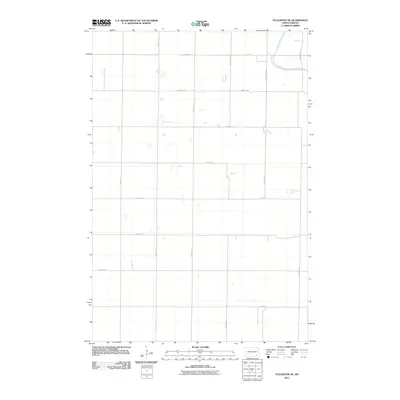
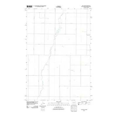 2011 Savo NW2011 Print · USGSCovers Dickey County, including Savo Township, Van Meter Township, and other nearby areas
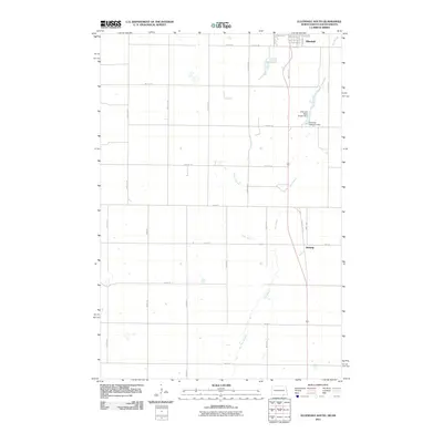
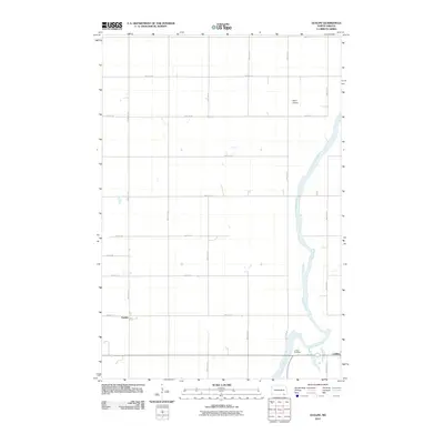
 - 2011 Map of Oakes, 2011 Print
 2011 Oakes2011 Print · USGSCovers Dickey County, including Oakes, Clement Township, and other nearby areas
 - 2011 Map of Monango SW, 2011 Print
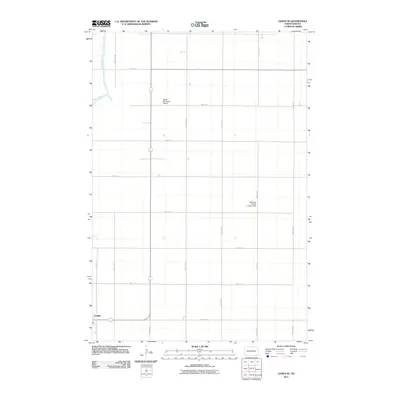
 2011 Monango SW2011 Print · USGSCovers Dickey County, including Hamburg Township, Keystone Township, and other nearby areas
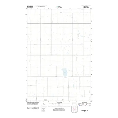
 - 2011 Map of LaMoure, 2011 Print
 2011 LaMoure2011 Print · USGSCovers Dickey County, including LaMoure, Ryan Township, and other nearby areas
 - 2011 Map of Ellendale North, 2011 Print
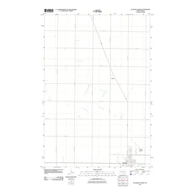 2011 Ellendale North2011 Print · USGSCovers Dickey County, including Ellendale, Kentner Township, and other nearby areas
 - 2011 Map of Glover, 2011 Print
 2011 Glover2011 Print · USGSCovers Dickey County, including Clement Township, Glover, and other nearby areas
 - 2011 Map of Monango, 2011 Print
 2011 Monango2011 Print · USGSCovers Dickey County, including Monango, Maple Township, and other nearby areas
 - 2011 Map of Silverleaf, 2011 Print
 2011 Silverleaf2011 Print · USGSCovers Dickey County, including Kentner Township, Yorktown Township, and other nearby areas
 - 2011 Map of Fullerton SE, 2011 Print
 2011 Fullerton SE2011 Print · USGSCovers Dickey County, including Clement Township, Yorktown Township, and other nearby areas
 - 2011 Map of Fullerton NE, 2011 Print
 2011 Fullerton NE2011 Print · USGSCovers Dickey County, including Clement Township, Yorktown Township, and other nearby areas
 - 2011 Map of Merricourt, 2011 Print
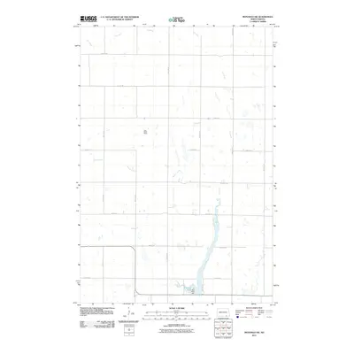
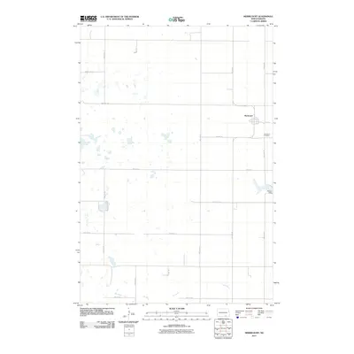 2011 Merricourt2011 Print · USGSCovers Dickey County, including Potsdam Township, Hamburg Township, and other nearby areas
 - 2011 Map of LaMoure SW, 2011 Print
 2011 LaMoure SW2011 Print · USGSCovers Dickey County, including Porter Township, Badger Township, and other nearby areas
 - 2011 Map of Monango NW, 2011 Print
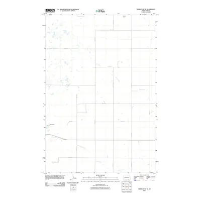
 2011 Monango NW2011 Print · USGSCovers Dickey County, including Potsdam Township, Hamburg Township, and other nearby areas
 - 2011 Map of Kulm, 2011 Print
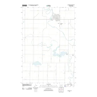
 2011 Kulm2011 Print · USGSCovers Dickey County, including Kulm, Norden Township, and other nearby areas
 - 2011 Map of Merricourt NW, 2011 Print
 2011 Merricourt NW2011 Print · USGSCovers Dickey County, including Whitestone Township, Young Township, and other nearby areas
 - 2011 Map of Oakes SE, 2011 Print
 2011 Oakes SE2011 Print · USGSCovers Dickey County, including Clement Township, Ludden, and other nearby areas
 - 2011 Map of Merricourt SE, 2011 Print
 2011 Merricourt SE2011 Print · USGSCovers Dickey County, including Hamburg Township, Whitestone Township, and other nearby areas
 - 2011 Map of Kulm-Edgeley Dam, 2011 Print
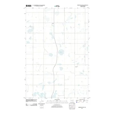
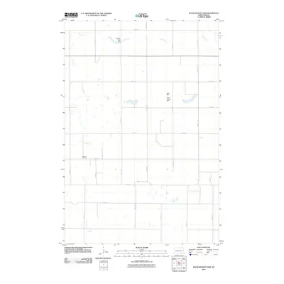 2011 Kulm-Edgeley Dam2011 Print · USGSCovers Dickey County, including Potsdam Township, Young Township, and other nearby areas
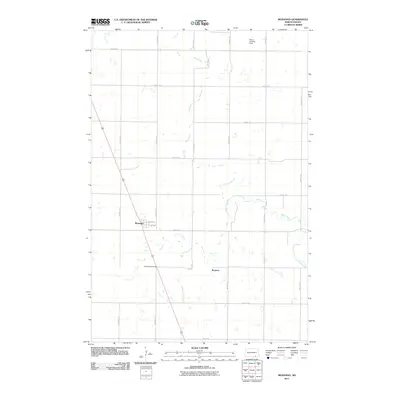
 - 2011 Map of Independence, 2011 Print
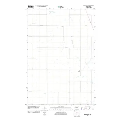
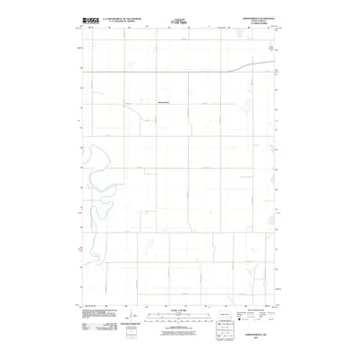 2011 Independence2011 Print · USGSCovers Dickey County, including Ryan Township, Independence, and other nearby areas
 - 2011 Map of Guelph, 2011 Print
 2011 Guelph2011 Print · USGSCovers Dickey County, including Clement Township, Ludden, and other nearby areas
 - 2011 Map of Verona, 2011 Print
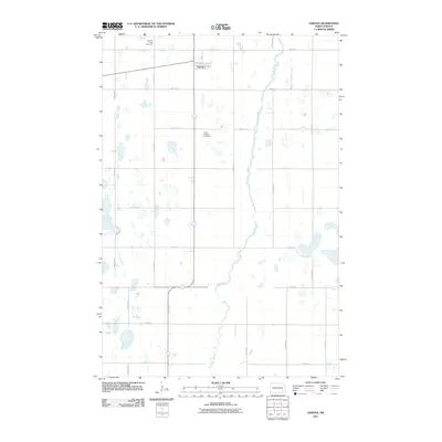 2011 Verona2011 Print · USGSCovers Dickey County, including Verona, Divide Township, and other nearby areas
 - 2011 Map of Merricourt SW, 2011 Print
 2011 Merricourt SW2011 Print · USGSCovers Dickey County, including Wirch, Spring Valley Township, and other nearby areas
Showing maps 1-25 of 180
Top cities of Dickey County
- Oakes historical maps
- Ellendale historical maps
- Clement Township historical maps
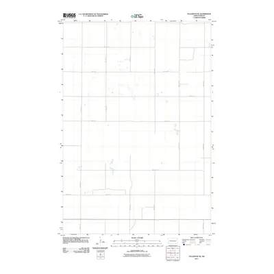
- Fullerton historical maps
- Forbes historical maps
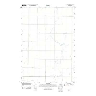
- Monango historical maps
Frequently asked questions
- What are the different types of historical maps available for Dickey County?
- What is the oldest map of Dickey County?
- Where can I purchase historical maps of Dickey County for my home or office?
- Where can I download high-res historical maps of Dickey County?
- Are there historical topographic maps available for Dickey County?
- Is there historical aerial imagery available for Dickey County?
- Where are historical maps of Dickey County sourced from?