Old Maps of Wright Township, North Dakota for Metal Detecting
Plan your next treasure hunt with 31 historic maps of Wright Township. Find old homesites, ghost towns, trails, and gathering spots that may be lost to time — perfect for identifying promising metal detecting locations.
- Locate forgotten sites: Uncover places like long-lost settlements, abandoned rail lines, or gathering spots.
- Plan better hunts: Use map overlays combined with LiDAR or satellite views to narrow in on historically rich areas.
- Made for detectorists: Thousands of hobbyists use these maps to discover relics, coins, and hidden history.
Use these historic maps to boost your research and find new opportunities beneath the surface of Wright Township.
Wright Township, ND maps
(31)- 1894 Map of La Moure
 1894 La Moure1894 Print · USGSSoutheastern North Dakota's prairie landscape is captured here during the railroad boom of the late nineteenth century. Trace the early development of Lamoure and Grand Rapids along the James River and the converging tracks of the Northern Pacific Railroad.
 - 1894 Map of Fullerton
 1894 Fullerton1894 Print · USGSNorth Dakota's southern prairie was a landscape of new townships and expanding railroads in the late nineteenth century. Genealogists and historians can trace the early footprints of Fullerton and Yorktown or the original route of the Maple River.2 unique versions available
 - 1895 Map of Lamoure
 1895 Lamoure1895 Print · USGSSoutheastern North Dakota was a landscape of rapid rail expansion and river-based settlement in the mid-1890s. Genealogists and historians can trace the early foundations of towns like Lamoure, Oakes, and Grand Rapids along the winding James River.2 unique versions available
 - 1918 Map of La Moure
 1918 La Moure1918 Print · USGSSoutheastern North Dakota was a thriving rail and agricultural hub during the early twentieth century, as seen in this detailed 1918 survey. Researchers can trace the development of the James River corridor and locate early settlements like Grand Rapids, Oakes, and Port Emma.2 unique versions available
 - 1953 Map of Jamestown
 1953 Jamestown1953 Print · USGSSoutheastern North Dakota was a thriving rail and agricultural corridor in the early fifties, anchored by the James River. Researchers can trace the footprints of institutional landmarks like the North Dakota State Hospital and historic sites such as Whitestone Hill Battlefield Park.3 unique versions available
 - 1955 Map of Fullerton NE, 1956 Print
 1955 Fullerton NE1956 Print · USGSDickey County, North Dakota, is captured here in the mid-1950s as a landscape of grid-patterned farms and prairie railroads. Researchers can trace the Minneapolis St Paul and Sault Ste Marie line and find rural landmarks like Town Hall and School No 3.
 - 1955 Map of La Moure, 1956 Print
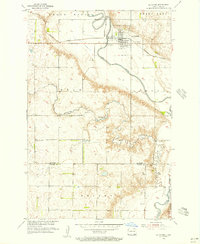 1955 La Moure1956 Print · USGSLa Moure and the surrounding prairie are captured here in the mid-1950s as the river and rail lines dictated local growth. Genealogists can locate Rosehill Cem and St Ansgar Cem, while following the Northern Pacific through town.2 unique versions available
 - 1956 Map of Jamestown
 1956 Jamestown1956 Print · USGSThe James River valley and the vast alkali lake country of south-central North Dakota are captured here in the mid-fifties. Genealogists can trace family farms across several counties, locating small rail stops like Medberry and monuments like Whitestone Hill Battlefield Park.
 - 1982 Map of La Moure SW, 1983 Print
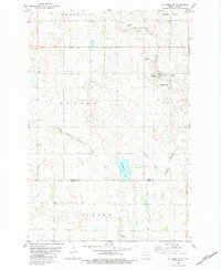 1982 La Moure SW1983 Print · USGSThe North Dakota prairie at the start of the 1980s reveals a landscape of communal farming and winding creek beds. Researchers can locate the Hutterite Colony, trace the path of Cottonwood Creek, and identify the secluded Emmanuel Cem.
 - 1982 Map of Fullerton, 1983 Print
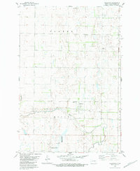 1982 Fullerton1983 Print · USGSFullerton and the surrounding Dickey County prairie are captured here in the early 1980s, centered on the Soo Line rail corridor. Researchers can trace local landmarks like the Maple View Cem, the Townhall, and the banks of the Maple River.
 - 1986 Map of La Moure
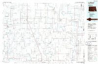 1986 La Moure1986 Print · USGSMid-century settlement patterns and water management define this stretch of the North Dakota prairie during the 1980s. Researchers can trace historic rail lines like the Soo Line or locate sites such as Whitestone Battlefield State Park and Ellendale.2 unique versions available
 - 2011 Map of LaMoure, 2011 Print
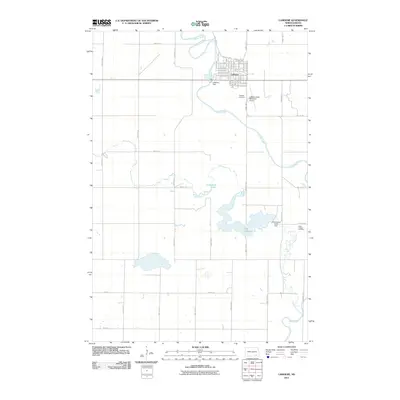 2011 LaMoure2011 Print · USGSThe James River valley near LaMoure is captured here in the early twenty-first century, showing the intersection of river geography and prairie town planning. Researchers can locate Rosehill Cemetery, the LaMoure Dam, and the reservoir at Lake LaMoure.
 - 2011 Map of Fullerton NE, 2011 Print
 2011 Fullerton NE2011 Print · USGSClement Township's agricultural grid remains the defining feature of this southeastern North Dakota landscape in the early twenty-first century. Genealogists and local historians can trace the paths of County Road A and 81st St Se as they frame the prairie near the James River.
 - 2011 Map of LaMoure SW, 2011 Print
 2011 LaMoure SW2011 Print · USGSDickey County agriculture and prairie wetlands are showcased here during the early twenty-first century. Researchers can trace land use patterns and private aviation markers such as Leiseth Farms Landing Strip and Cottonwood Lake.
 - 2011 Map of Fullerton, 2011 Print
 2011 Fullerton2011 Print · USGSFullerton and the surrounding Dickey County plains are captured here in the early twenty-first century as a quiet agricultural center. Researchers can trace the path of the Maple River or locate family roots at Maple View Cemetery and Fullerton.
 - 2014 Map of Fullerton NE, 2014 Print
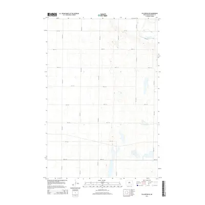 2014 Fullerton NE2014 Print · USGSNorth Dakota's Dickey County prairie is shown here in the early twenty-first century, structured by a rigorous grid of rural section roads. Genealogists and local historians can trace the landscape's layout along 81st St SE and the banks of the James River.
 - 2014 Map of LaMoure SW, 2014 Print
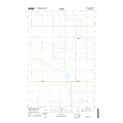 2014 LaMoure SW2014 Print · USGSThe borderlands of LaMoure and Dickey counties in 2014 show a highly organized agricultural landscape at the height of modern prairie farming. Researchers can locate the Fairview Colony settlement, trace Cottonwood Cr, or find the Larson Airport tucked among the section roads.
 - 2014 Map of Fullerton, 2014 Print
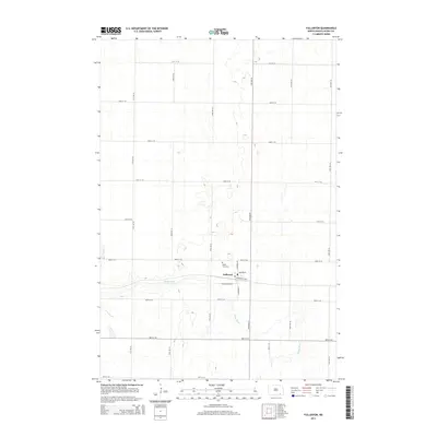 2014 Fullerton2014 Print · USGSDickey County's rural landscape and the settlement of Fullerton are detailed here in the early twenty-first century. Genealogists and local historians can trace the town grid through Minneapolis Ave or locate family roots at Maple View Cem near the Maple River.
 - 2014 Map of LaMoure, 2014 Print
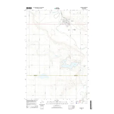 2014 LaMoure2014 Print · USGSThe town of LaMoure and the surrounding prairie are captured here in the early twenty-first century, showing the intersection of river geography and rural infrastructure. Researchers can trace local burials at Rosehill Cem or follow the waters of Lake LaMoure and the James River.
 - 2017 Map of LaMoure SW, 2017 Print
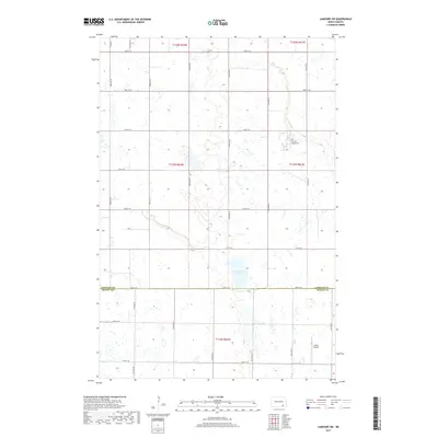 2017 LaMoure SW2017 Print · USGSThe borderlands of LaMoure and Dickey counties are captured here in the late 2010s, showing a meticulously gridded prairie landscape. Researchers can locate the Fairview Colony Cem, trace the path of Cottonwood Cr, and identify small rural airfields like Larson Airport.
 - 2017 Map of LaMoure, 2017 Print
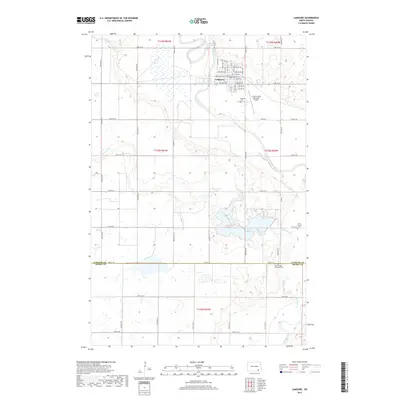 2017 LaMoure2017 Print · USGSThe James River valley in the late 2010s centers on the local hub of LaMoure and its surrounding agricultural sections. Family historians can locate specific burial sites at Rosehill Cem or Saint Ansgar Cem and trace the winding course of Cottonwood Cr.
 - 2017 Map of Fullerton, 2017 Print
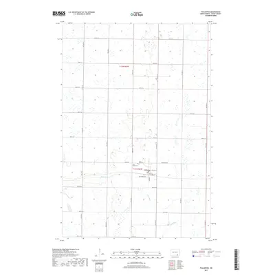 2017 Fullerton2017 Print · USGSFullerton and the surrounding Dickey County prairies are captured in the mid-2010s, showing a landscape defined by the Maple River and a rigid township grid. Researchers can locate family plots at Maple View Cem or trace the town's original streets like Minneapolis Ave.
 - 2018 Map of Fullerton NE, 2018 Print
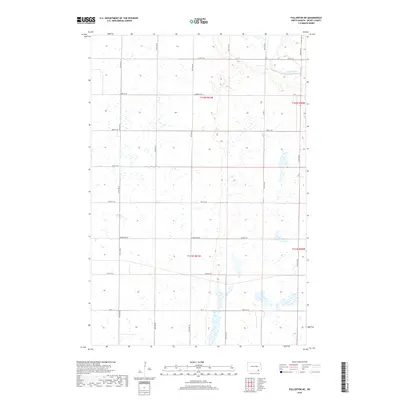 2018 Fullerton NE2018 Print · USGSDickey County is shown here in the late 2010s, where the section-line grid of Clement Township meets the winding path of the James River. Researchers can trace the rural road network including Horseshoed Dr, CO 3, and numerous section lines that define the local agricultural boundaries.
 - 2020 Map of LaMoure SW, 2020 Print
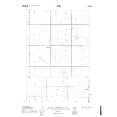 2020 LaMoure SW2020 Print · USGSLaMoure and Dickey Counties are shown in this contemporary study of North Dakota's rural section-line geography. Genealogists can locate Immanuel Lutheran Cem and Fairview Colony Cem among the agricultural fields near Cottonwood Lake.
 - 2020 Map of LaMoure, 2020 Print
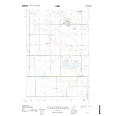 2020 LaMoure2020 Print · USGSThe community of LaMoure and the surrounding prairie are captured here in the early 21st century. Genealogists can locate family sites near Rosehill Cem or Saint Ansgar Lutheran Cem, while explorers can trace the winding paths of the James River and Cottonwood Cr.
Showing maps 1-25 of 31
Top cities near Wright Township
- Oakes historical maps
- Ellendale historical maps
- LaMoure historical maps
- Clement Township historical maps
- Grand Rapids historical maps
- Fullerton historical maps
See more
Frequently asked questions
- What are the different types of historical maps available for Wright Township?
- What is the oldest map of Wright Township?
- Where can I purchase historical maps of Wright Township for my home or office?
- Where can I download high-res historical maps of Wright Township?
- Are there historical topographic maps available for Wright Township?
- Is there historical aerial imagery available for Wright Township?
- Where are historical maps of Wright Township sourced from?