2000s (21st Century) Maps of Killdeer, North Dakota
Explore 20 historic maps of Killdeer from the 2000s (21st Century). These maps offer a rare glimpse into what life looked like during the 2000s — showing old roads, neighborhoods, homes, and landmarks that have changed or disappeared over time.
Whether you're researching your family's past, planning a metal detecting trip, or studying how Killdeer's landscape evolved across the 2000s, these high-resolution maps are a powerful tool for exploring the history of this region.
- Focus on a specific era: All maps on this page are from the 2000s, giving you a focused view of this time period.
- See what’s changed: Compare century-old streets, trails, and buildings to today's modern landscape using overlays and satellite layers.
- Research with precision: Use these maps for genealogy, historical research, land use analysis, or educational projects.
- View, download, or print: Maps are fully viewable online in high resolution, and can be downloaded or printed for your own records.
Start exploring Killdeer's history through authentic maps from the 2000s. This is your window into the past.
Killdeer, ND maps
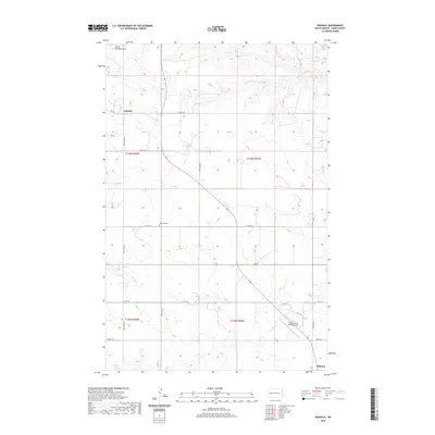
(20)- 2011 Map of Dunn Center NW, 2011 Print
 2011 Dunn Center NW2011 Print · USGSCovers Killdeer, including Dunn County, United States, and other nearby areas
 - 2011 Map of Oakdale, 2011 Print
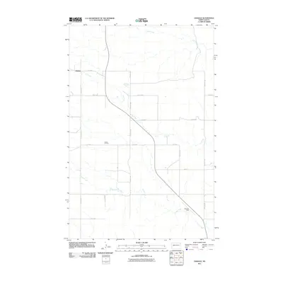 2011 Oakdale2011 Print · USGSCovers Killdeer, including Oakdale, Dunn County, and other nearby areas
 - 2011 Map of Lake Ilo, 2011 Print
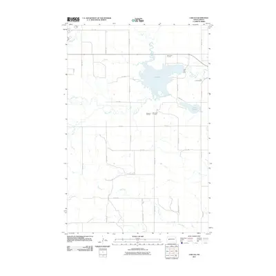 2011 Lake Ilo2011 Print · USGSCovers Killdeer, including Dunn Center, Dunn County, and other nearby areas
 - 2011 Map of Killdeer, 2011 Print
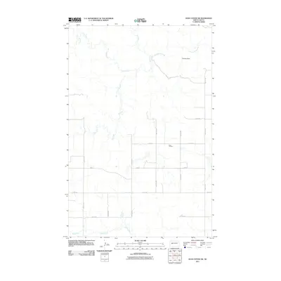
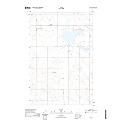
 2011 Killdeer2011 Print · USGSCovers Killdeer, including Dunn County, United States, and other nearby areas
 - 2014 Map of Oakdale, 2014 Print
 2014 Oakdale2014 Print · USGSCovers Killdeer, including Oakdale, Dunn County, and other nearby areas
 - 2014 Map of Dunn Center NW, 2014 Print
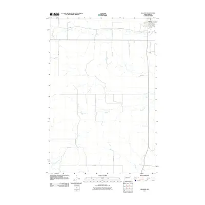
 2014 Dunn Center NW2014 Print · USGSCovers Killdeer, including Dunn County, United States, and other nearby areas
 - 2014 Map of Killdeer, 2014 Print
 2014 Killdeer2014 Print · USGSCovers Killdeer, including Dunn County, United States, and other nearby areas
 - 2014 Map of Lake Ilo, 2014 Print
 2014 Lake Ilo2014 Print · USGSCovers Killdeer, including Dunn Center, Dunn County, and other nearby areas
 - 2017 Map of Oakdale, 2017 Print
 2017 Oakdale2017 Print · USGSCovers Killdeer, including Oakdale, Dunn County, and other nearby areas
 - 2017 Map of Lake Ilo, 2017 Print
 2017 Lake Ilo2017 Print · USGSCovers Killdeer, including Dunn Center, Dunn County, and other nearby areas
 - 2017 Map of Killdeer, 2017 Print
 2017 Killdeer2017 Print · USGSCovers Killdeer, including Dunn County, United States, and other nearby areas
 - 2018 Map of Dunn Center NW, 2018 Print
 2018 Dunn Center NW2018 Print · USGSCovers Killdeer, including Dunn County, United States, and other nearby areas
 - 2020 Map of Lake Ilo, 2020 Print
 2020 Lake Ilo2020 Print · USGSCovers Killdeer, including Dunn Center, Dunn County, and other nearby areas
 - 2020 Map of Oakdale, 2020 Print
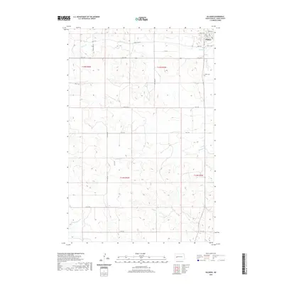
 2020 Oakdale2020 Print · USGSCovers Killdeer, including Oakdale, Dunn County, and other nearby areas
 - 2020 Map of Dunn Center NW, 2020 Print
 2020 Dunn Center NW2020 Print · USGSCovers Killdeer, including Dunn County, United States, and other nearby areas
 - 2020 Map of Killdeer, 2020 Print
 2020 Killdeer2020 Print · USGSCovers Killdeer, including Dunn County, United States, and other nearby areas
 - 2024 Map of Oakdale, 2024 Print
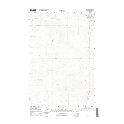
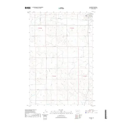
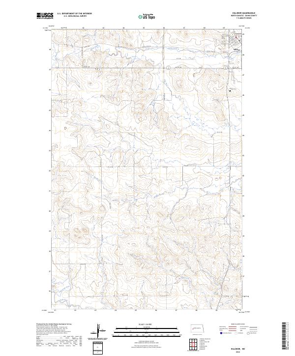
 2024 Oakdale2024 Print · USGSDunn County and the outskirts of the Killdeer Mountains are shown here in the 2020s as a landscape of remote ranching and aviation. Genealogists and local researchers can pinpoint the Oakdale Cem and Dunn County Weydahl Field near Oakdale.
 - 2024 Map of Dunn Center NW, 2024 Print
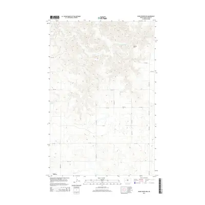
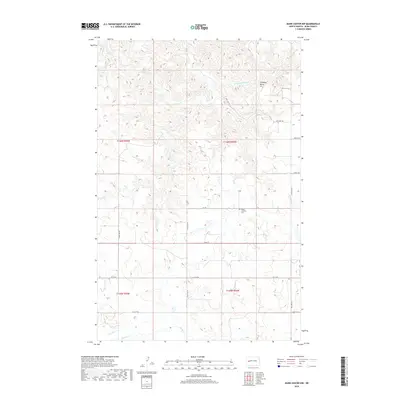
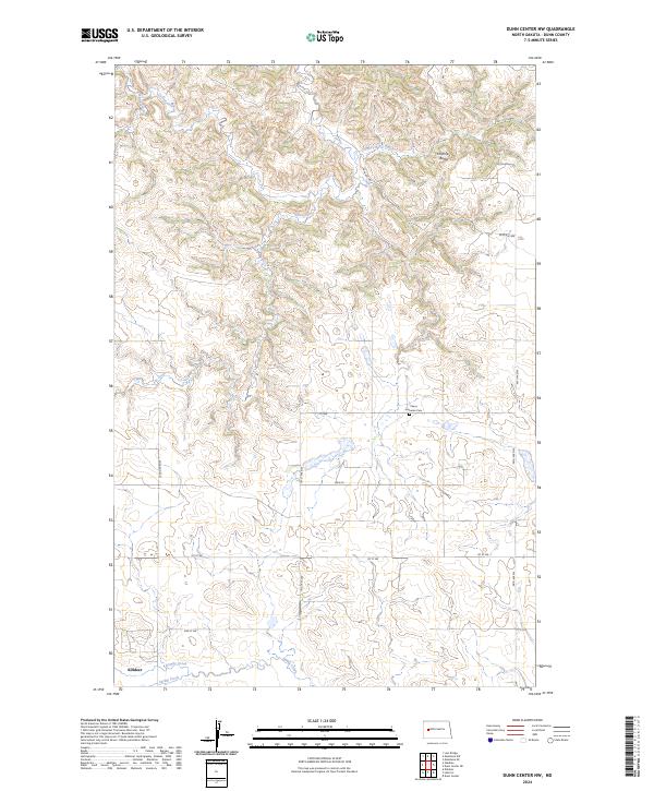 2024 Dunn Center NW2024 Print · USGSThe area surrounding Killdeer in the mid-2020s is a landscape of high plains and vital watercourses. Genealogists and local historians can locate the Peace Lutheran Cem and trace the paths of Spring Creek and Chimney Butte Creek.
 - 2024 Map of Lake Ilo, 2024 Print
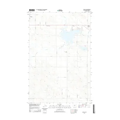
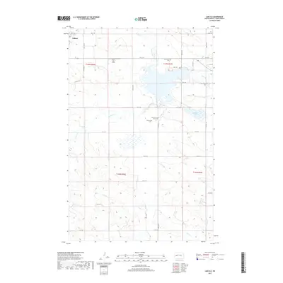
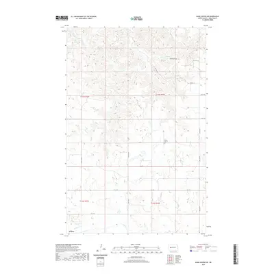
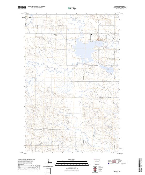 2024 Lake Ilo2024 Print · USGSDunn County's prairie landscape is centered on the Lake Ilo National Wildlife Refuge in this modern survey. Genealogists and historians can locate the Normanna Lutheran Church Cem and Dunn Center Cem near the headwaters of Spring Creek.
 - 2024 Map of Killdeer, 2024 Print
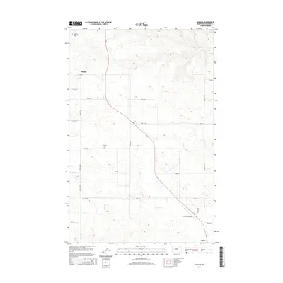
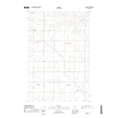
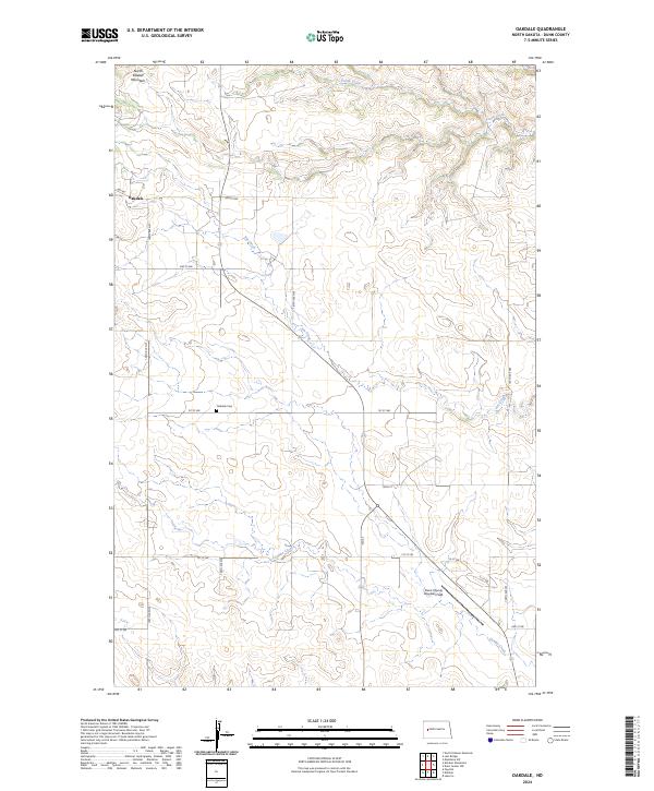
 2024 Killdeer2024 Print · USGSKilldeer and the surrounding North Dakota plains are captured here in the early twenty-first century. Genealogists and local historians can trace the town's footprint near Killdeer Cem and follow the paths of the Knife River and Spring Creek.
End of results
Showing maps 1-20 of 20
Top cities near Killdeer
Frequently asked questions
- What are the different types of historical maps available for Killdeer?
- What is the oldest map of Killdeer?
- Where can I purchase historical maps of Killdeer for my home or office?
- Where can I download high-res historical maps of Killdeer?
- Are there historical topographic maps available for Killdeer?
- Is there historical aerial imagery available for Killdeer?
- Where are historical maps of Killdeer sourced from?