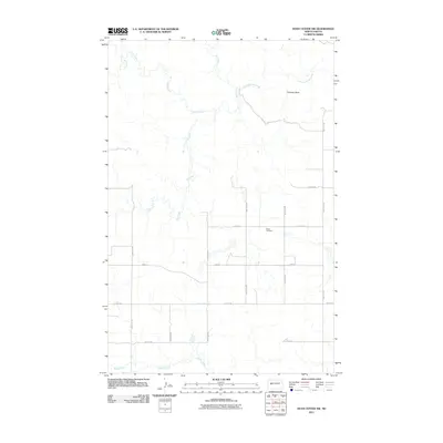
2011 Map of Dunn Center NW
USGS Topo · Published 2011About this map
Chimney Butte rises above the prairie landscape of western North Dakota, serving as a prominent landmark in this segment of Dunn County. The terrain is defined by a dense network of drainage systems, including Jim Creek, Corral Creek, and Chimney Butte Creek, which carve winding paths through the open country. These waterways suggest a landscape shaped by intermittent flows and seasonal run-off typical of the region.
Find a feature on this map
19 named features on this map. Tap any name to fly to it.
Don’t see what you’re looking for? This feature index may not catch every label — zoom into the map to look around manually.
Map Details
Editions of this 2011 Dunn Center NW Map
This is the sole edition of this map. No revisions or reprints were ever made.
Other maps of this area

1953 · Watford City
USGS Topo · 1:250,000

1957 · Watford City
USGS Topo · 1:250,000

1967 · Watford City
USGS Topo · 1:250,000

1970 · Lost Bridge
USGS Topo · 1:24,000

1970 · Dunn Center NW
USGS Topo · 1:24,000

1970 · Mandaree SW
USGS Topo · 1:24,000

1970 · Dunn Center NE
USGS Topo · 1:24,000

1970 · Mandaree SE
USGS Topo · 1:24,000

1973 · Dunn Center
USGS Topo · 1:24,000

1973 · Lake Ilo
USGS Topo · 1:24,000