2000s (21st Century) Maps of Tell Township, North Dakota
Explore 20 historic maps of Tell Township from the 2000s (21st Century). These maps offer a rare glimpse into what life looked like during the 2000s — showing old roads, neighborhoods, homes, and landmarks that have changed or disappeared over time.
Whether you're researching your family's past, planning a metal detecting trip, or studying how Tell Township's landscape evolved across the 2000s, these high-resolution maps are a powerful tool for exploring the history of this region.
- Focus on a specific era: All maps on this page are from the 2000s, giving you a focused view of this time period.
- See what’s changed: Compare century-old streets, trails, and buildings to today's modern landscape using overlays and satellite layers.
- Research with precision: Use these maps for genealogy, historical research, land use analysis, or educational projects.
- View, download, or print: Maps are fully viewable online in high resolution, and can be downloaded or printed for your own records.
Start exploring Tell Township's history through authentic maps from the 2000s. This is your window into the past.
Tell Township, ND maps
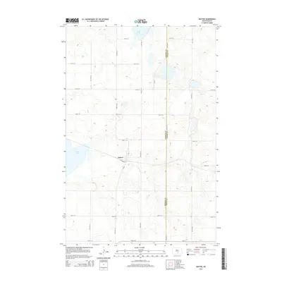
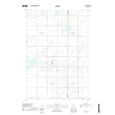
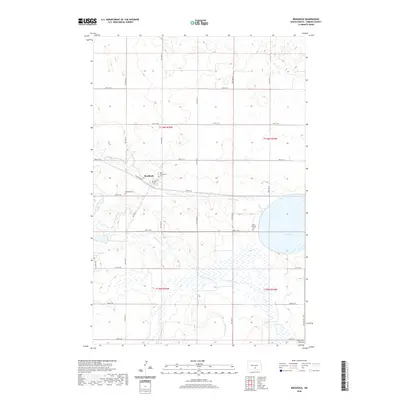
(20)- 2011 Map of Braddock, 2011 Print
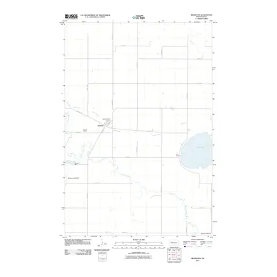 2011 Braddock2011 Print · USGSCovers Tell Township, including Braddock, Campbell Township, and other nearby areas
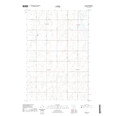
 - 2011 Map of Linton NE, 2011 Print
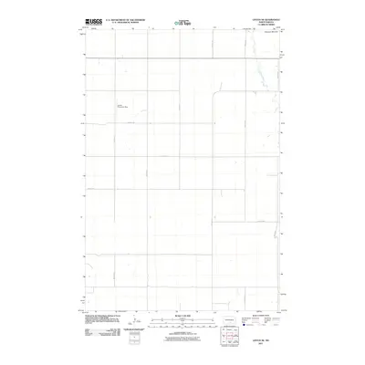 2011 Linton NE2011 Print · USGSCovers Tell Township, including Lincoln Township, Emmons County, and other nearby areas
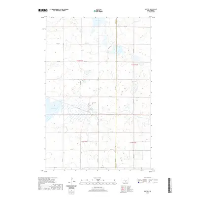
 - 2011 Map of Kintyre, 2011 Print
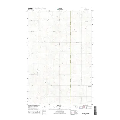
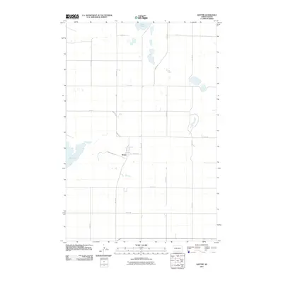 2011 Kintyre2011 Print · USGSCovers Tell Township, including Sealy Township, Kintyre, and other nearby areas
 - 2011 Map of Schell Buttes NW, 2011 Print
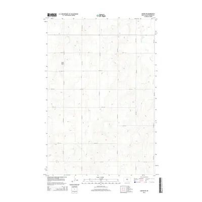
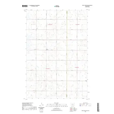
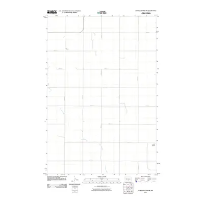 2011 Schell Buttes NW2011 Print · USGSCovers Tell Township, including Logan County, Emmons County, and other nearby areas
 - 2014 Map of Kintyre, 2014 Print
 2014 Kintyre2014 Print · USGSCovers Tell Township, including Sealy Township, Kintyre, and other nearby areas
 - 2014 Map of Schell Buttes NW, 2014 Print
 2014 Schell Buttes NW2014 Print · USGSCovers Tell Township, including Logan County, Emmons County, and other nearby areas
 - 2014 Map of Linton NE, 2014 Print
 2014 Linton NE2014 Print · USGSCovers Tell Township, including Lincoln Township, Emmons County, and other nearby areas
 - 2014 Map of Braddock, 2014 Print
 2014 Braddock2014 Print · USGSCovers Tell Township, including Braddock, Campbell Township, and other nearby areas
 - 2017 Map of Kintyre, 2017 Print
 2017 Kintyre2017 Print · USGSCovers Tell Township, including Sealy Township, Kintyre, and other nearby areas
 - 2018 Map of Schell Buttes NW, 2018 Print
 2018 Schell Buttes NW2018 Print · USGSCovers Tell Township, including Logan County, Emmons County, and other nearby areas
 - 2018 Map of Braddock, 2018 Print
 2018 Braddock2018 Print · USGSCovers Tell Township, including Braddock, Campbell Township, and other nearby areas
 - 2018 Map of Linton NE, 2018 Print
 2018 Linton NE2018 Print · USGSCovers Tell Township, including Lincoln Township, Emmons County, and other nearby areas
 - 2020 Map of Braddock, 2020 Print
 2020 Braddock2020 Print · USGSCovers Tell Township, including Braddock, Campbell Township, and other nearby areas
 - 2020 Map of Schell Buttes NW, 2020 Print
 2020 Schell Buttes NW2020 Print · USGSCovers Tell Township, including Logan County, Emmons County, and other nearby areas
 - 2020 Map of Kintyre, 2020 Print
 2020 Kintyre2020 Print · USGSCovers Tell Township, including Sealy Township, Kintyre, and other nearby areas
 - 2020 Map of Linton NE, 2020 Print
 2020 Linton NE2020 Print · USGSCovers Tell Township, including Lincoln Township, Emmons County, and other nearby areas
 - 2024 Map of Schell Buttes NW, 2024 Print
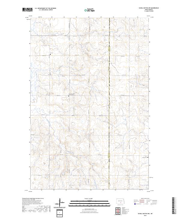 2024 Schell Buttes NW2024 Print · USGSThe Emmons and Logan county line comes alive in this modern survey of North Dakota's prairie townships. Genealogists can locate specific burial grounds including Tell Cem, Saint Boniface Cem, and the Finnish Evangelical Lutheran Cem.
 - 2024 Map of Braddock, 2024 Print
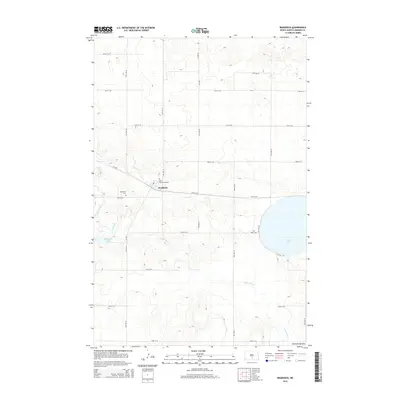
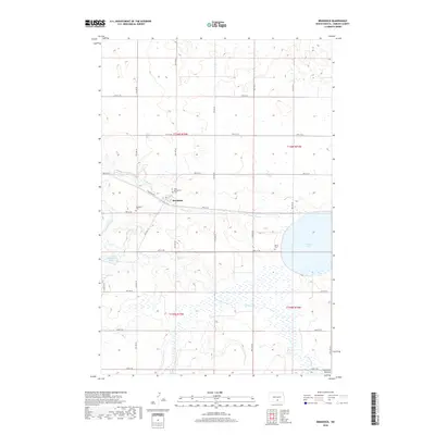
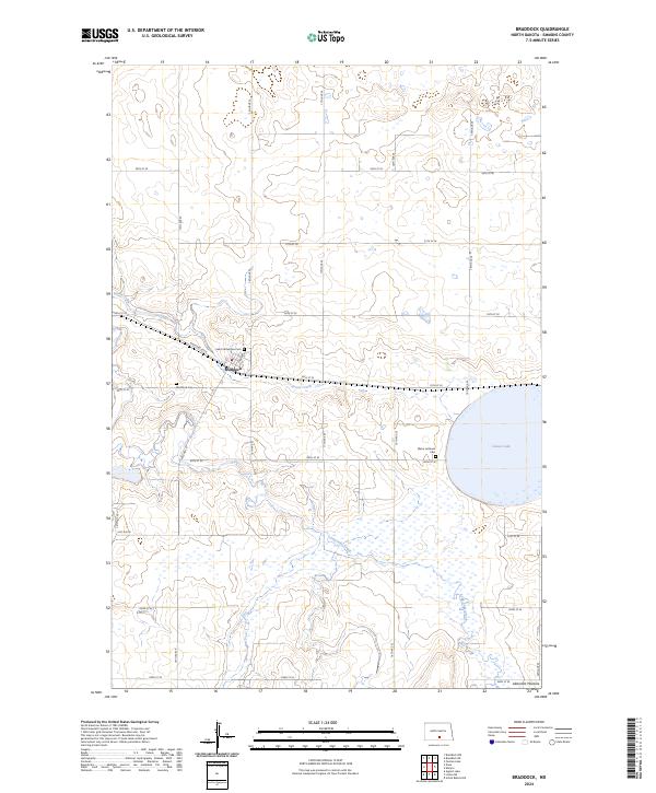 2024 Braddock2024 Print · USGSThe Emmons County prairie is seen here in recent detail, centered on the settlement of Braddock. Genealogists and local historians can locate specific landmarks including Saint Katherines Cem, Maria Lutheran Cem, and the waters of Goose Lake.
 - 2024 Map of Linton NE, 2024 Print
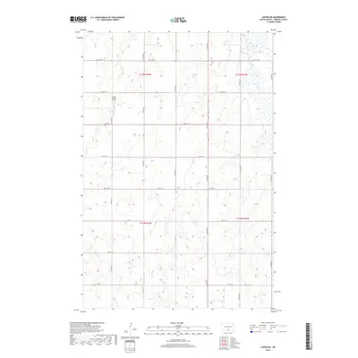
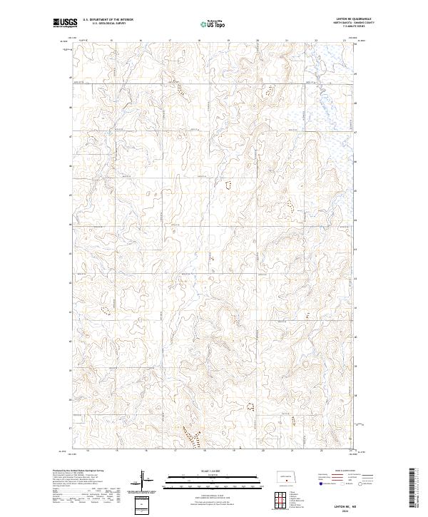 2024 Linton NE2024 Print · USGSEmmons County remains a landscape of open prairie and precise agricultural grids in this 2024 survey. Trace the path of Long Lake Creek or follow rural routes like 70th St SE and 15th Ave SE through the North Dakota countryside.
 - 2024 Map of Kintyre, 2024 Print
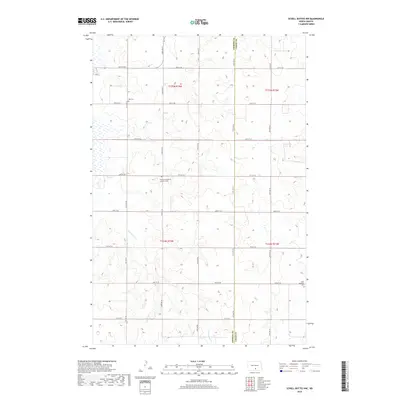
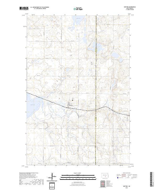 2024 Kintyre2024 Print · USGSThe small prairie community of Kintyre is captured in this recent survey of North Dakota's pothole region. Researchers can locate the Kintyre Cem and trace the drainage patterns of Goose Lake or the Emmons County Waterfowl Production Area.
End of results
Showing maps 1-20 of 20
Top cities near Tell Township
Frequently asked questions
- What are the different types of historical maps available for Tell Township?
- What is the oldest map of Tell Township?
- Where can I purchase historical maps of Tell Township for my home or office?
- Where can I download high-res historical maps of Tell Township?
- Are there historical topographic maps available for Tell Township?
- Is there historical aerial imagery available for Tell Township?
- Where are historical maps of Tell Township sourced from?