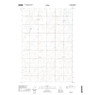
2020 Map of Linton NE
USGS Topo · Published 2020About this map
Saville Private Airport stands as a focal point in this landscape of the Missouri Plateau, located north of Linton in Emmons County. The terrain is defined by the section-line road grid, where routes like 64th St SE and 71st St SE carve the prairie into precise agricultural blocks. To the northeast, the map reveals the southern reaches of Long Lake, a significant water feature in an otherwise arid expanse of rolling hills and depressions. This 2020 survey illustrates the enduring nature of the Public Land Survey System, with township boundaries like T135n R75w and T134n R74w anchoring the geography. The absence of dense settlements emphasizes the rural character of Tell Township, where the infrastructure is primarily geared toward aviation and transport across the vast North Dakota plains.
Find a feature on this map
14 named features on this map. Tap any name to fly to it.
Don’t see what you’re looking for? This feature index may not catch every label — zoom into the map to look around manually.
Map Details
Editions of this 2020 Linton NE Map
This is the sole edition of this map. No revisions or reprints were ever made.
Other maps of this area

1953 · Jamestown
USGS Topo · 1:250,000

1954 · Bismarck
USGS Topo · 1:250,000

1956 · Jamestown
USGS Topo · 1:250,000

1958 · Bismarck
USGS Topo · 1:250,000

1975 · Dana
USGS Topo · 1:24,000

1975 · Appert Lake
USGS Topo · 1:24,000

1975 · Linton NE
USGS Topo · 1:24,000

1975 · Braddock
USGS Topo · 1:24,000

1975 · Kintyre
USGS Topo · 1:24,000

1979 · Bismarck
USGS Topo · 1:100,000