
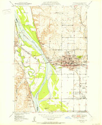
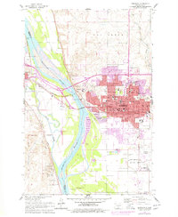
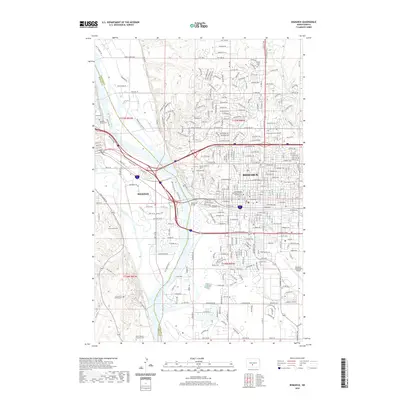
1979 Map of Bismarck
USGS Topo · Published 1980About this map
The Missouri River and its expansive floodplain dominate this Central North Dakota landscape, anchoring the twin cities of Bismarck and Mandan. By the late 1970s, the river valley shows the transition from historic military outposts like Fort Lincoln State Park and Fort Rice to a region defined by modern infrastructure and water management. The southern portion of the map is largely occupied by Lake Oahe and the State Game Management Area, reflecting the environmental shifts following the construction of downstream dams.
Find a feature on this map
75 named features on this map. Tap any name to fly to it.
Don’t see what you’re looking for? This feature index may not catch every label — zoom into the map to look around manually.
Map Details
Editions of this 1979 Bismarck Map
This is the sole edition of this map. No revisions or reprints were ever made.
Historical Maps of Bismarck Through Time
12 maps found
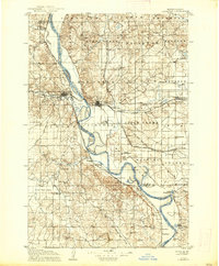
1907 Bismarck
Burleigh County, ND
1950 Bismarck
Burleigh County, ND
1951 Bismarck
Burleigh County, ND
1954 Bismarck
Burleigh County, ND

1958 Bismarck
Burleigh County, ND
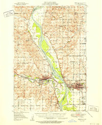
1962 Bismarck
Burleigh County, ND
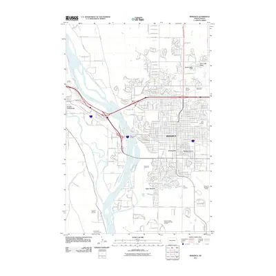
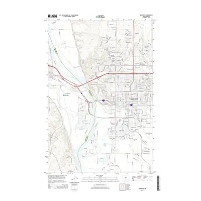
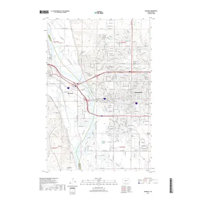
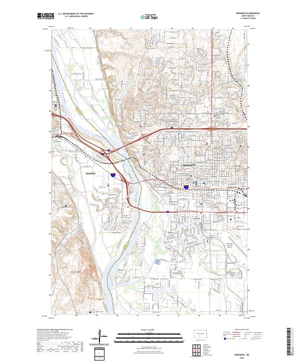
1979 Bismarck
Burleigh County, ND
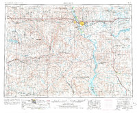
2011 Bismarck
Burleigh County, ND
2014 Bismarck
Burleigh County, ND
2017 Bismarck
Burleigh County, ND
2020 Bismarck
Burleigh County, ND
2024 Bismarck
Burleigh County, ND