
1975 Map of Braddock
USGS Topo · Published 1978About this map
Braddock anchors this mid-1970s landscape, serving as a hub along the Soo Line railroad which cuts diagonally through the prairie. The settlement’s social and historical fabric is visible through local landmarks like St Katherines Cem and Braddock Cem, while the Maria Cem lies further east toward the expansive Goose Lake. The region's hydrology is defined by the intersection of Goose Creek and Long Lake Creek, with the Braddock Dam creating a localized water reserve that supports a Boat Ramp and Picnic Area. The presence of the McLeish Landing Strip and several Gravel Pits reflects the area's mid-century rural infrastructure, supporting both small-scale aviation and local road maintenance. This survey captures the Emmons County landscape just as modern irrigation and land management practices were being documented by the State of North Dakota Water Commission.
Find a feature on this map
18 named features on this map. Tap any name to fly to it.
Don’t see what you’re looking for? This feature index may not catch every label — zoom into the map to look around manually.
Map Details
Editions of this 1975 Braddock Map
This is the sole edition of this map. No revisions or reprints were ever made.
Other maps of this area

1953 · Jamestown
USGS Topo · 1:250,000

1954 · Bismarck
USGS Topo · 1:250,000

1956 · Jamestown
USGS Topo · 1:250,000

1958 · Bismarck
USGS Topo · 1:250,000

1975 · Dana
USGS Topo · 1:24,000

1975 · Appert Lake
USGS Topo · 1:24,000

1975 · Linton NE
USGS Topo · 1:24,000
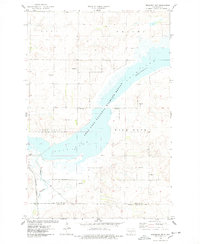
1975 · Braddock NW
USGS Topo · 1:24,000
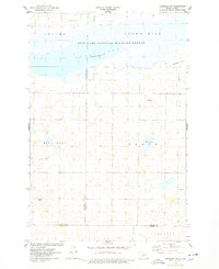
1975 · Braddock NE
USGS Topo · 1:24,000

1975 · Kintyre
USGS Topo · 1:24,000