Old Maps of Cooperstown, North Dakota for Academic Research
Study the evolution of Cooperstown with 16 high-resolution historic maps. Whether you're teaching, researching, or modeling changes in land use, these maps provide essential visual documentation of urban, environmental, and geographic change.
- Analyze long-term change: Track patterns in development, transportation, and natural features.
- Ideal for environmental or urban studies: Support academic projects with primary historical map data.
- Use in the classroom or lab: Educators and researchers rely on these maps to bring historical context to life.
These maps are a powerful tool for teaching, research, and visualizing how Cooperstown has changed over the decades.
Cooperstown, ND maps
(16)- 1952 Map of New Rockford, 1968 Print
 1952 New Rockford1968 Print · USGSThe North Dakota prairie during the mid-1950s was a landscape of rail-dependent farm towns and vast wildlife refuges. Genealogists and historians can trace the foundations of local communities at Fort Totten Indian Agenc, Concordia Lutheran Church, and the Bowdon Country Church and Cemetery.3 unique versions available
 - 1956 Map of New Rockford
 1956 New Rockford1956 Print · USGSMid-century central North Dakota is captured here as a landscape of prairie rail towns and vast wildlife refuges. Trace family roots at the Bowdon Country Church and Cemetery or locate the old St Michael Mission School and Fort Totten.
 - 1961 Map of Cooperstown East, 1963 Print
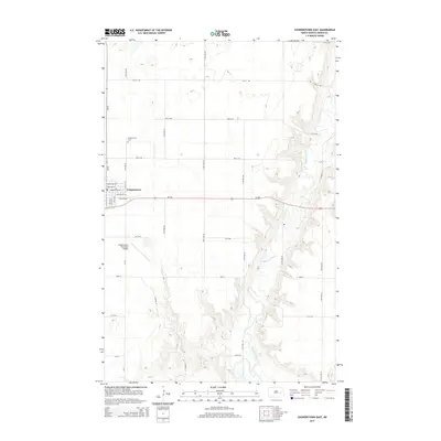
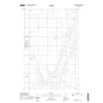
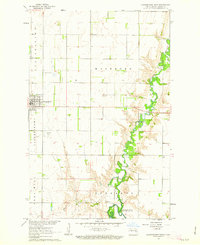 1961 Cooperstown East1963 Print · USGSGriggs County enters the 1960s with the expanding waters of the Sheyenne River valley and the growth of the county seat. Researchers can locate the Cooperstown Cem, the Fairground, and the specific engineering of the Ueland Dam.2 unique versions available
 - 1961 Map of Cooperstown West, 1963 Print
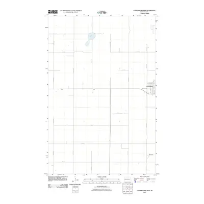
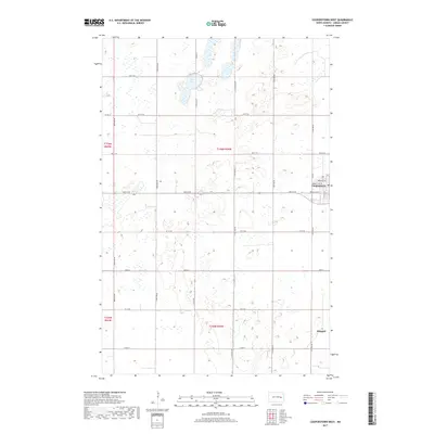
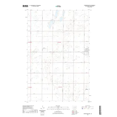
 1961 Cooperstown West1963 Print · USGSGriggs County prairie life in the early sixties is centered on the railroad corridor and organized township lines. Genealogists can trace property locations near Cooperstown and Shepard, or locate landmarks like Lake Five and the local Gravel Pits.2 unique versions available
 - 1971 Map of New Rockford, 1974 Print
 1971 New Rockford1974 Print · USGSCentral North Dakota was a landscape of wildlife refuges and rail-linked agricultural towns in the early seventies. Genealogists and local historians can trace the development of the Fort Totten Indian Reservation and locate old railway points like Maddock, Hamal, and Kloten.
 - 1985 Map of Cooperstown
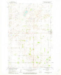
 1985 Cooperstown1985 Print · USGSGriggs and Barnes Counties are seen here in the mid-eighties, a period where the prairie economy centered on rail lines and river reservoirs. Genealogists and local historians can trace family locations near Wimbledon, Hannaford, and Spiritwood Lake or locate the Fish Hatchery and Gaging Station along the Sheyenne River.2 unique versions available
 - 2011 Map of Cooperstown East, 2011 Print
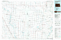
 2011 Cooperstown East2011 Print · USGSCovers Cooperstown, including Griggs County, United States, and other nearby areas
 - 2011 Map of Cooperstown West, 2011 Print
 2011 Cooperstown West2011 Print · USGSCovers Cooperstown, including Shepard, Griggs County, and other nearby areas
 - 2014 Map of Cooperstown West, 2014 Print
 2014 Cooperstown West2014 Print · USGSCovers Cooperstown, including Shepard, Griggs County, and other nearby areas
 - 2014 Map of Cooperstown East, 2014 Print
 2014 Cooperstown East2014 Print · USGSCovers Cooperstown, including Griggs County, United States, and other nearby areas
 - 2017 Map of Cooperstown East, 2017 Print
 2017 Cooperstown East2017 Print · USGSCovers Cooperstown, including Griggs County, United States, and other nearby areas
 - 2017 Map of Cooperstown West, 2017 Print
 2017 Cooperstown West2017 Print · USGSCovers Cooperstown, including Shepard, Griggs County, and other nearby areas
 - 2020 Map of Cooperstown West, 2020 Print
 2020 Cooperstown West2020 Print · USGSCovers Cooperstown, including Shepard, Griggs County, and other nearby areas
 - 2020 Map of Cooperstown East, 2020 Print
 2020 Cooperstown East2020 Print · USGSCovers Cooperstown, including Griggs County, United States, and other nearby areas
 - 2024 Map of Cooperstown East, 2024 Print
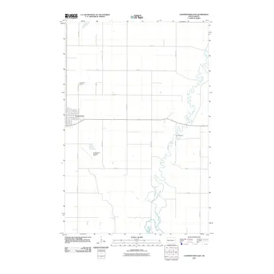
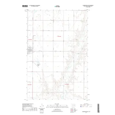
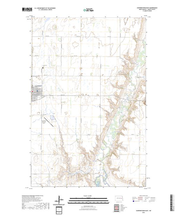 2024 Cooperstown East2024 Print · USGSThe Griggs County seat comes into focus during this modern era, showing the intersection of the Sheyenne River and the rural agricultural grid. Genealogists can trace family records at the Griggs County Courthouse or locate ancestral plots at Saint George Cem and Cooperstown Cem.
 - 2024 Map of Cooperstown West, 2024 Print
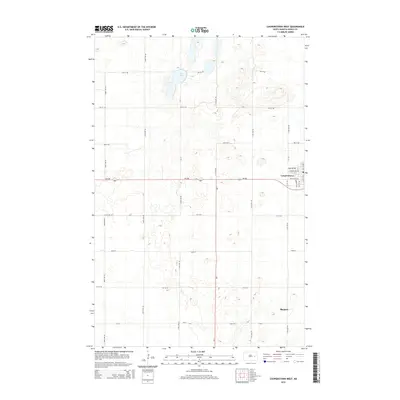
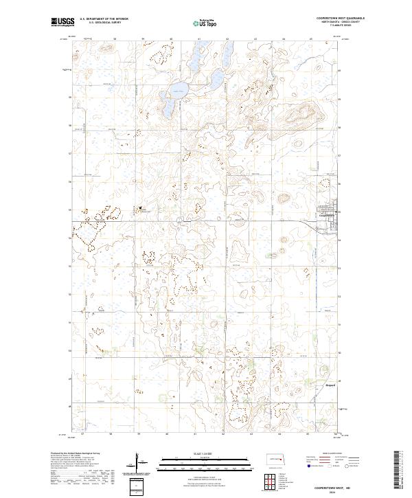 2024 Cooperstown West2024 Print · USGSGriggs County enters the mid-2020s as a quiet agricultural hub defined by its straight section lines and prairie wetlands. Local researchers can trace family roots at the Swedish Lutheran Cem or explore the rural surroundings of Cooperstown and Shepard.
End of results
Showing maps 1-16 of 16
Top cities near Cooperstown
- Binford historical maps
- Hannaford historical maps
- Sharon historical maps
- Sibley historical maps
- Luverne historical maps
Frequently asked questions
- What are the different types of historical maps available for Cooperstown?
- What is the oldest map of Cooperstown?
- Where can I purchase historical maps of Cooperstown for my home or office?
- Where can I download high-res historical maps of Cooperstown?
- Are there historical topographic maps available for Cooperstown?
- Is there historical aerial imagery available for Cooperstown?
- Where are historical maps of Cooperstown sourced from?