2000s (21st Century) Maps of Bluebird Township, North Dakota
Explore 20 historic maps of Bluebird Township from the 2000s (21st Century). These maps offer a rare glimpse into what life looked like during the 2000s — showing old roads, neighborhoods, homes, and landmarks that have changed or disappeared over time.
Whether you're researching your family's past, planning a metal detecting trip, or studying how Bluebird Township's landscape evolved across the 2000s, these high-resolution maps are a powerful tool for exploring the history of this region.
- Focus on a specific era: All maps on this page are from the 2000s, giving you a focused view of this time period.
- See what’s changed: Compare century-old streets, trails, and buildings to today's modern landscape using overlays and satellite layers.
- Research with precision: Use these maps for genealogy, historical research, land use analysis, or educational projects.
- View, download, or print: Maps are fully viewable online in high resolution, and can be downloaded or printed for your own records.
Start exploring Bluebird Township's history through authentic maps from the 2000s. This is your window into the past.
Bluebird Township, ND maps
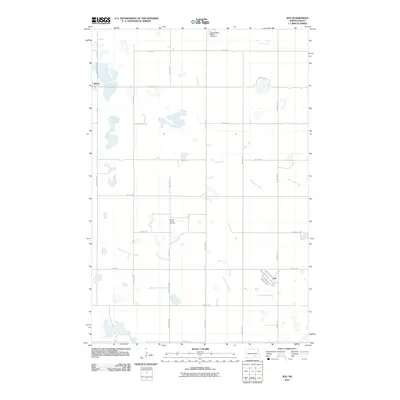
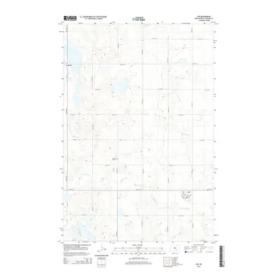
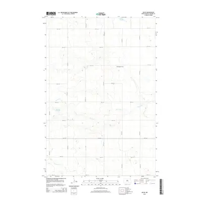
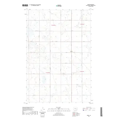
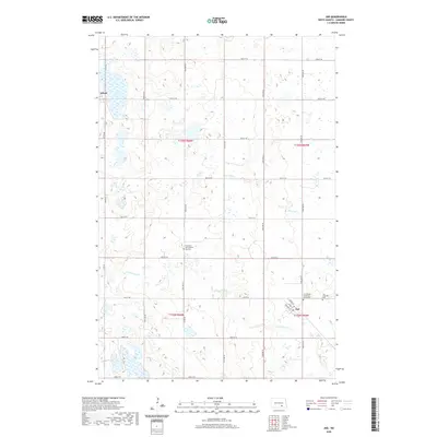
(20)- 2011 Map of Jud SE, 2011 Print
 2011 Jud SE2011 Print · USGSCovers Bluebird Township, including Kenniston Township, Mikkelson Township, and other nearby areas
 - 2011 Map of Jud, 2011 Print
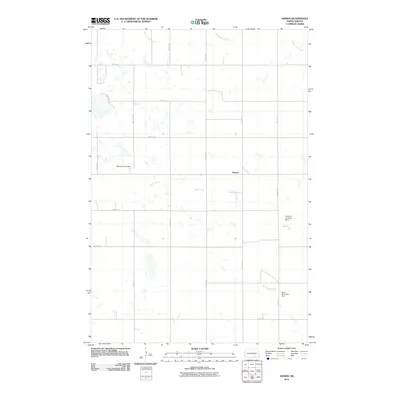
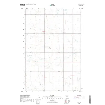
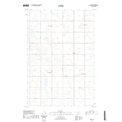
 2011 Jud2011 Print · USGSCovers Bluebird Township, including Jud, Glen Township, and other nearby areas
 - 2011 Map of Deisem, 2011 Print
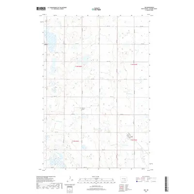
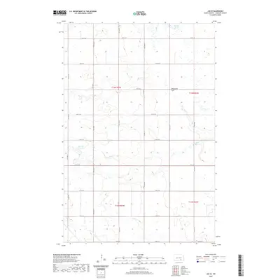
 2011 Deisem2011 Print · USGSCovers Bluebird Township, including Deisem, Glenmore Township, and other nearby areas
 - 2011 Map of Schlecht-Weixel Dam, 2011 Print
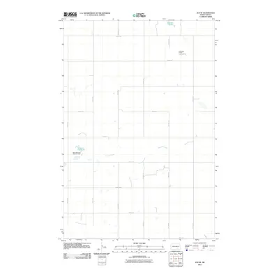
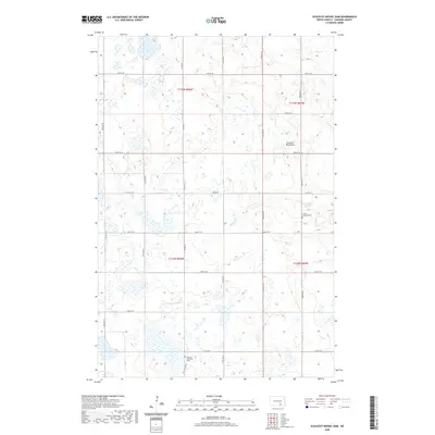
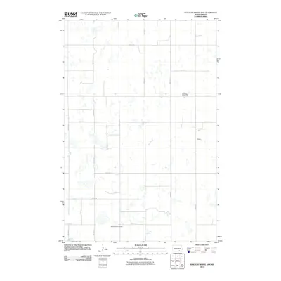 2011 Schlecht-Weixel Dam2011 Print · USGSCovers Bluebird Township, including Ray Township, Swede Township, and other nearby areas
 - 2014 Map of Jud, 2014 Print
 2014 Jud2014 Print · USGSCovers Bluebird Township, including Jud, Glen Township, and other nearby areas
 - 2014 Map of Schlecht-Weixel Dam, 2014 Print
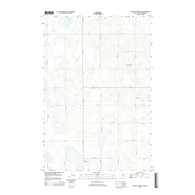 2014 Schlecht-Weixel Dam2014 Print · USGSCovers Bluebird Township, including Ray Township, Swede Township, and other nearby areas
 - 2014 Map of Jud SE, 2014 Print
 2014 Jud SE2014 Print · USGSCovers Bluebird Township, including Kenniston Township, Mikkelson Township, and other nearby areas
 - 2014 Map of Deisem, 2014 Print
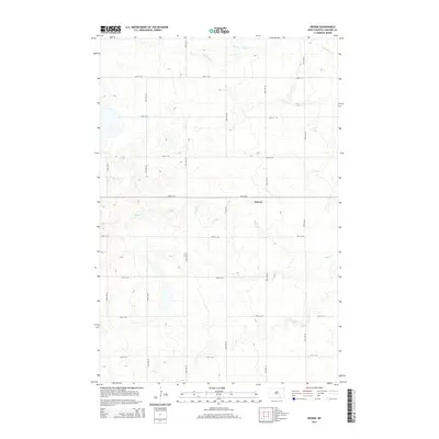 2014 Deisem2014 Print · USGSCovers Bluebird Township, including Deisem, Glenmore Township, and other nearby areas
 - 2017 Map of Schlecht-Weixel Dam, 2017 Print
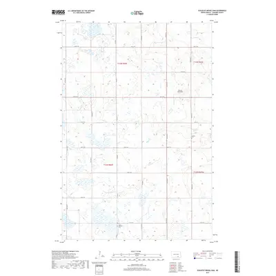 2017 Schlecht-Weixel Dam2017 Print · USGSCovers Bluebird Township, including Ray Township, Swede Township, and other nearby areas
 - 2018 Map of Jud SE, 2018 Print
 2018 Jud SE2018 Print · USGSCovers Bluebird Township, including Kenniston Township, Mikkelson Township, and other nearby areas
 - 2018 Map of Jud, 2018 Print
 2018 Jud2018 Print · USGSCovers Bluebird Township, including Jud, Glen Township, and other nearby areas
 - 2018 Map of Deisem, 2018 Print
 2018 Deisem2018 Print · USGSCovers Bluebird Township, including Deisem, Glenmore Township, and other nearby areas
 - 2020 Map of Jud, 2020 Print
 2020 Jud2020 Print · USGSCovers Bluebird Township, including Jud, Glen Township, and other nearby areas
 - 2020 Map of Deisem, 2020 Print
 2020 Deisem2020 Print · USGSCovers Bluebird Township, including Deisem, Glenmore Township, and other nearby areas
 - 2020 Map of Jud SE, 2020 Print
 2020 Jud SE2020 Print · USGSCovers Bluebird Township, including Kenniston Township, Mikkelson Township, and other nearby areas
 - 2020 Map of Schlecht-Weixel Dam, 2020 Print
 2020 Schlecht-Weixel Dam2020 Print · USGSCovers Bluebird Township, including Ray Township, Swede Township, and other nearby areas
 - 2024 Map of Jud SE, 2024 Print
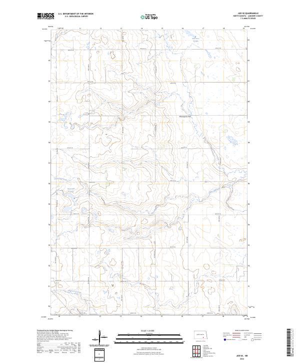 2024 Jud SE2024 Print · USGSLaMoure County conservation lands and prairie wetlands are documented in this contemporary survey of the James River Valley. Researchers can trace the drainage of Bone Hill Creek into Bone Hill Cr Lake and locate the protected Bone Hill National Wildlife Refuge.
 - 2024 Map of Jud, 2024 Print
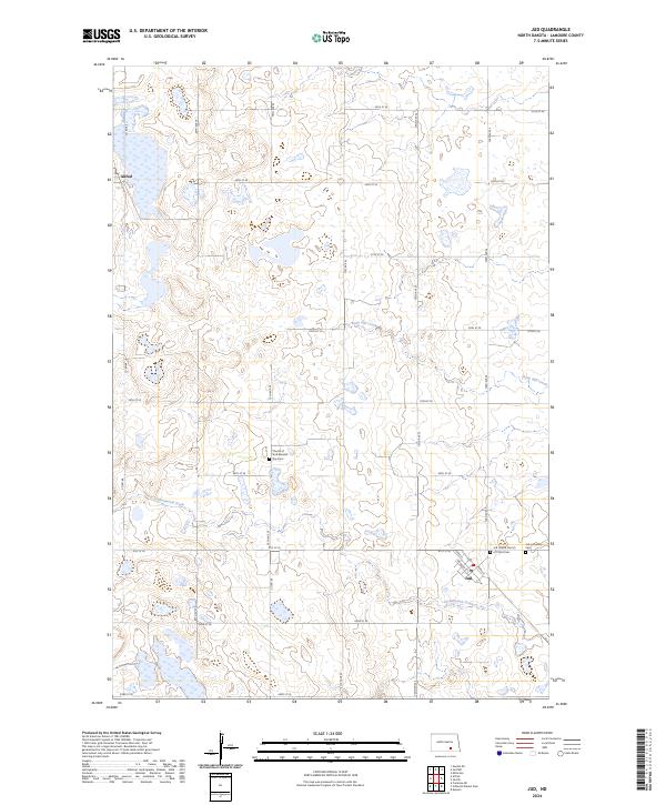 2024 Jud2024 Print · USGSPrairie life in LaMoure County unfolds across this recent survey of the North Dakota plains. Researchers can trace rural cemetery locations like Jud Lutheran Cem or follow the paths of Cottonwood Creek and Bone Hill Creek through the landscape.
 - 2024 Map of Schlecht-Weixel Dam, 2024 Print
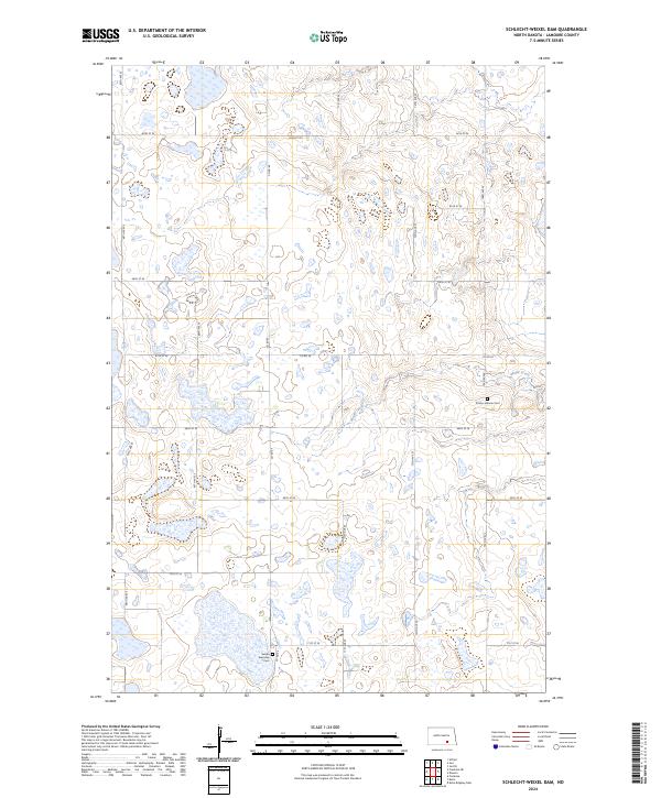 2024 Schlecht-Weixel Dam2024 Print · USGSLaMoure County conservation lands and early prairie townships are meticulously documented in this recent survey. Researchers can locate family roots and historical markers at the Trinity Lutheran Cem, Swede Township Cem, and along Maple Creek.
 - 2024 Map of Deisem, 2024 Print
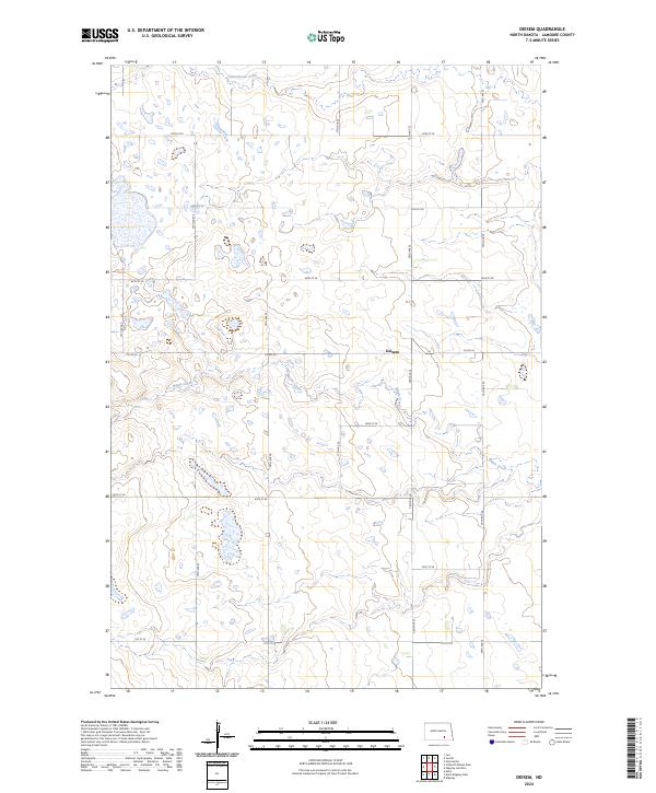 2024 Deisem2024 Print · USGSLaMoure County's agricultural heartland is captured here in the mid-2020s, showing the enduring township-and-range structure of the North Dakota prairie. Researchers can locate the settlement of Deisem and trace the paths of Maple Creek and Cottonwood Creek.
End of results
Showing maps 1-20 of 20
Top cities near Bluebird Township
- Edgeley historical maps
- Kulm historical maps
- Adrian Township historical maps
- Jud historical maps
- Sharlow historical maps
Frequently asked questions
- What are the different types of historical maps available for Bluebird Township?
- What is the oldest map of Bluebird Township?
- Where can I purchase historical maps of Bluebird Township for my home or office?
- Where can I download high-res historical maps of Bluebird Township?
- Are there historical topographic maps available for Bluebird Township?
- Is there historical aerial imagery available for Bluebird Township?
- Where are historical maps of Bluebird Township sourced from?