2020s Maps of Kenniston Township, North Dakota
Explore 8 historic maps of Kenniston Township from the 2020s. These maps offer a rare glimpse into what life looked like during the 2020s — showing old roads, neighborhoods, homes, and landmarks that have changed or disappeared over time.
Whether you're researching your family's past, planning a metal detecting trip, or studying how Kenniston Township's landscape evolved across the 2020s, these high-resolution maps are a powerful tool for exploring the history of this region.
- Focus on a specific era: All maps on this page are from the 2020s, giving you a focused view of this time period.
- See what’s changed: Compare century-old streets, trails, and buildings to today's modern landscape using overlays and satellite layers.
- Research with precision: Use these maps for genealogy, historical research, land use analysis, or educational projects.
- View, download, or print: Maps are fully viewable online in high resolution, and can be downloaded or printed for your own records.
Start exploring Kenniston Township's history through authentic maps from the 2020s. This is your window into the past.
Kenniston Township, ND maps
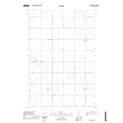
(8)- 2020 Map of Montpelier NW, 2020 Print
 2020 Montpelier NW2020 Print · USGSCovers Kenniston Township, including Adrian Township, Stutsman County, and other nearby areas
 - 2020 Map of Nortonville, 2020 Print
 2020 Nortonville2020 Print · USGSCovers Kenniston Township, including Adrian Township, Russell Township, and other nearby areas
 - 2020 Map of Jud SE, 2020 Print
 2020 Jud SE2020 Print · USGSCovers Kenniston Township, including Bluebird Township, Mikkelson Township, and other nearby areas
 - 2020 Map of Millarton, 2020 Print
 2020 Millarton2020 Print · USGSCovers Kenniston Township, including Sydney, Sharlow, and other nearby areas
 - 2024 Map of Jud SE, 2024 Print
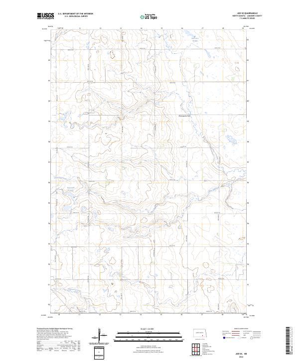 2024 Jud SE2024 Print · USGSLaMoure County conservation lands and prairie wetlands are documented in this contemporary survey of the James River Valley. Researchers can trace the drainage of Bone Hill Creek into Bone Hill Cr Lake and locate the protected Bone Hill National Wildlife Refuge.
 - 2024 Map of Millarton, 2024 Print
 2024 Millarton2024 Print · USGSStutsman County farmland near the LaMoure County line is captured here in its modern agricultural state. Researchers can trace the drainage of the Minneapolis Flats and locate the small rural communities of Millarton, Sydney, and Sharlow.
 - 2024 Map of Nortonville, 2024 Print
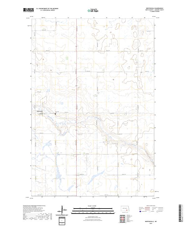 2024 Nortonville2024 Print · USGSThe prairie landscape of LaMoure County is captured in this recent survey, centered on the small community of Nortonville. Genealogists and local historians can locate the Nortonville Cem and trace the path of Bone Hill Creek through the township.
 - 2024 Map of Montpelier NW, 2024 Print
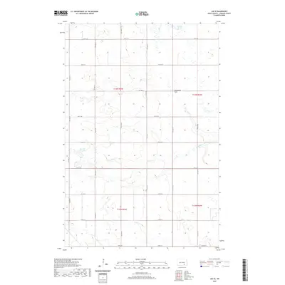
 2024 Montpelier NW2024 Print · USGSStutsman County is depicted in the early 2020s as a structured agricultural landscape defined by its prairie waterways and sectional road grid. Researchers can trace local landmarks like Liechty Farm Airport and the course of Beaver Creek.
End of results
Showing maps 1-8 of 8
Top cities near Kenniston Township
- Edgeley historical maps
- Ypsilanti historical maps
- Adrian Township historical maps
- Montpelier historical maps
- Sydney historical maps
- Jud historical maps
See more
Top neighborhoods of Kenniston Township
Frequently asked questions
- What are the different types of historical maps available for Kenniston Township?
- What is the oldest map of Kenniston Township?
- Where can I purchase historical maps of Kenniston Township for my home or office?
- Where can I download high-res historical maps of Kenniston Township?
- Are there historical topographic maps available for Kenniston Township?
- Is there historical aerial imagery available for Kenniston Township?
- Where are historical maps of Kenniston Township sourced from?