Old Maps of Anamoose, North Dakota for Metal Detecting
Plan your next treasure hunt with 18 historic maps of Anamoose. Find old homesites, ghost towns, trails, and gathering spots that may be lost to time — perfect for identifying promising metal detecting locations.
- Locate forgotten sites: Uncover places like long-lost settlements, abandoned rail lines, or gathering spots.
- Plan better hunts: Use map overlays combined with LiDAR or satellite views to narrow in on historically rich areas.
- Made for detectorists: Thousands of hobbyists use these maps to discover relics, coins, and hidden history.
Use these historic maps to boost your research and find new opportunities beneath the surface of Anamoose.
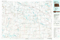
Anamoose, ND maps
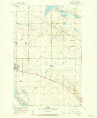
(18)- 1930 Map of Drake
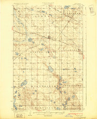 1930 Drake1930 Print · USGSRailroad expansion in the late twenties centered on Drake, where two major lines met amidst the prairie potholes. Genealogists can trace early rural life through a dense network of numbered schools and landmarks like Schiller Hall and Kandt Lake.
 - 1940 Map of Aylmer
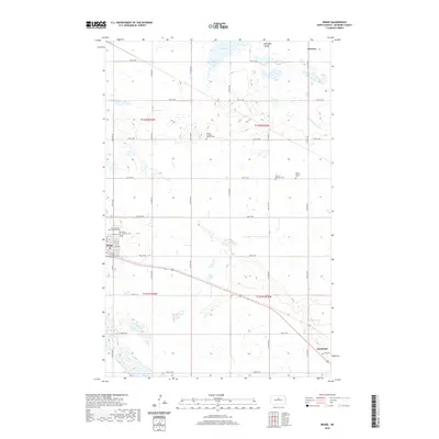
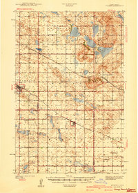 1940 Aylmer1940 Print · USGSPierce and Sheridan Counties come into focus just before the war, showing the peak of the North Dakota rail-and-prairie economy. Genealogists can pinpoint exact locations for family landmarks like Hillsdale Ch, White Sch, and Martin Cem.3 unique versions available
 - 1954 Map of McClusky, 1968 Print
 1954 McClusky1968 Print · USGSCentral North Dakota was undergoing a profound transformation in the fifties as the newly formed Lake Sakakawea reshaped the Missouri River valley. Genealogists and historians can trace rail-town development along the Soo Line and locate historic markers like Garrison Dam or the Lewis and Clark Trail.3 unique versions available
 - 1958 Map of McClusky
 1958 McClusky1958 Print · USGSCentral North Dakota was undergoing a profound change in the late fifties as the Garrison Reservoir filled behind its massive new dam. Trace the early layout of Riverdale, the Lewis and Clark Trail, and the vanishing rail stops of the Northern Pacific.
 - 1958 Map of Anamoose, 1959 Print
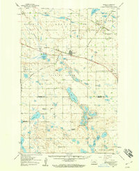
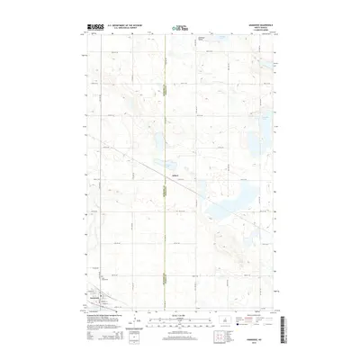
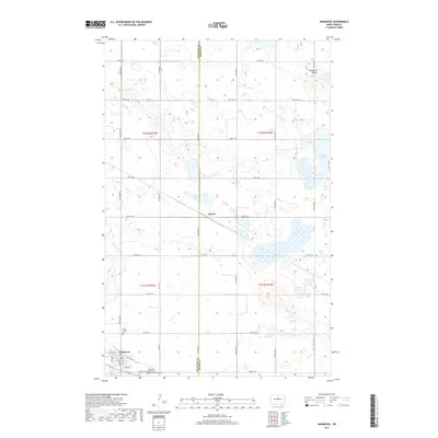
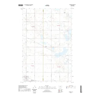
 1958 Anamoose1959 Print · USGSThe prairie landscape around Anamoose and Aylmer is shown here in the late fifties at the intersection of two major rail lines. Genealogists can locate family landmarks like St Francis Cem, Lakeview Sch No 3, and White Sch.
 - 1958 Map of Drake, 1959 Print
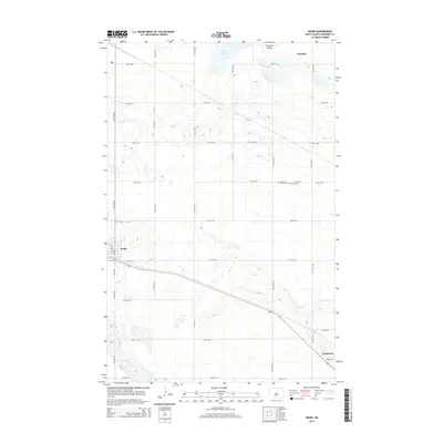
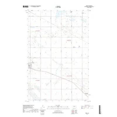
 1958 Drake1959 Print · USGSCentral North Dakota was a landscape of rail-connected prairie towns and scattered farmstead schools in the late fifties. Genealogists and historians can trace the specific locations of Drake, Anamoose, and rural landmarks like the Sons of Herman Cem or Rosenfield Ch.
 - 1958 Map of Drake, 1959 Print
 1958 Drake1959 Print · USGSMcHenry County at the end of the fifties is a landscape defined by the intersection of major rail lines and rural township life. Genealogists and local historians can trace family roots through sites like Zion Cem, St Martins Cem, and the small settlement of Norfolk.
 - 1979 Map of Drake, 1980 Print
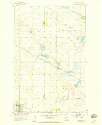
 1979 Drake1980 Print · USGSCentral North Dakota in the late seventies reveals a landscape of prairie potholes and developing water infrastructure. Trace the rail-fed growth of Drake and Anamoose or locate rural landmarks like the McClusky Canal and Lincoln Valley.
 - 2011 Map of Drake, 2011 Print
 2011 Drake2011 Print · USGSCovers Anamoose, including Drake, McHenry County, and other nearby areas
 - 2011 Map of Anamoose, 2011 Print
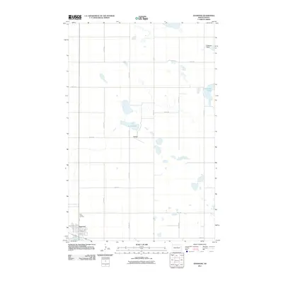 2011 Anamoose2011 Print · USGSCovers Anamoose, including Aylmer, McHenry County, and other nearby areas
 - 2014 Map of Anamoose, 2014 Print
 2014 Anamoose2014 Print · USGSCovers Anamoose, including Aylmer, McHenry County, and other nearby areas
 - 2014 Map of Drake, 2014 Print
 2014 Drake2014 Print · USGSCovers Anamoose, including Drake, McHenry County, and other nearby areas
 - 2017 Map of Drake, 2017 Print
 2017 Drake2017 Print · USGSCovers Anamoose, including Drake, McHenry County, and other nearby areas
 - 2017 Map of Anamoose, 2017 Print
 2017 Anamoose2017 Print · USGSCovers Anamoose, including Aylmer, McHenry County, and other nearby areas
 - 2020 Map of Anamoose, 2020 Print
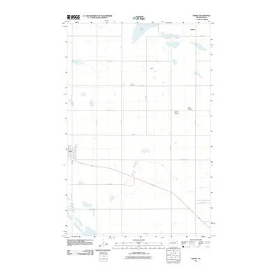
 2020 Anamoose2020 Print · USGSCovers Anamoose, including Aylmer, McHenry County, and other nearby areas
 - 2020 Map of Drake, 2020 Print
 2020 Drake2020 Print · USGSCovers Anamoose, including Drake, McHenry County, and other nearby areas
 - 2024 Map of Drake, 2024 Print
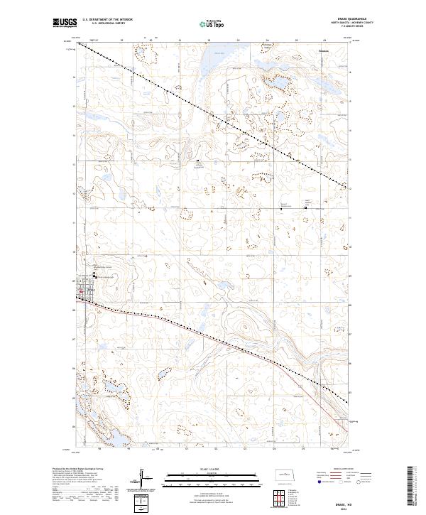 2024 Drake2024 Print · USGSThe rural landscape of McHenry County is shown here in the 2020s, centered on the community of Drake. Genealogists and local historians can trace family roots through numerous sites including Saint Margaret Mary Catholic Cem, Sons of Herman Cem, and Drake Cem.
 - 2024 Map of Anamoose, 2024 Print
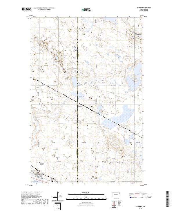 2024 Anamoose2024 Print · USGSThe prairie town of Anamoose and the settlement of Aylmer are mapped in this contemporary survey of the North Dakota pothole region. Genealogists can trace family sites at Saint Francis Xavier Cem and First Congregational Cem.
End of results
Showing maps 1-18 of 18
Top cities near Anamoose
Frequently asked questions
- What are the different types of historical maps available for Anamoose?
- What is the oldest map of Anamoose?
- Where can I purchase historical maps of Anamoose for my home or office?
- Where can I download high-res historical maps of Anamoose?
- Are there historical topographic maps available for Anamoose?
- Is there historical aerial imagery available for Anamoose?
- Where are historical maps of Anamoose sourced from?