2000s (21st Century) Maps of Watford City, North Dakota
Explore 10 historic maps of Watford City from the 2000s (21st Century). These maps offer a rare glimpse into what life looked like during the 2000s — showing old roads, neighborhoods, homes, and landmarks that have changed or disappeared over time.
Whether you're researching your family's past, planning a metal detecting trip, or studying how Watford City's landscape evolved across the 2000s, these high-resolution maps are a powerful tool for exploring the history of this region.
- Focus on a specific era: All maps on this page are from the 2000s, giving you a focused view of this time period.
- See what’s changed: Compare century-old streets, trails, and buildings to today's modern landscape using overlays and satellite layers.
- Research with precision: Use these maps for genealogy, historical research, land use analysis, or educational projects.
- View, download, or print: Maps are fully viewable online in high resolution, and can be downloaded or printed for your own records.
Start exploring Watford City's history through authentic maps from the 2000s. This is your window into the past.
Watford City, ND maps
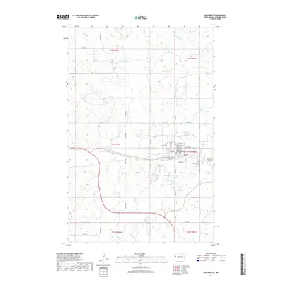
(10)- 2011 Map of Watford City, 2011 Print
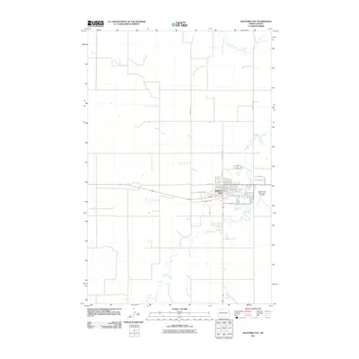 2011 Watford City2011 Print · USGSCovers Watford City, including McKenzie County, United States, and other nearby areas
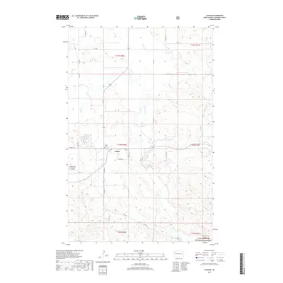
 - 2011 Map of Schafer, 2011 Print
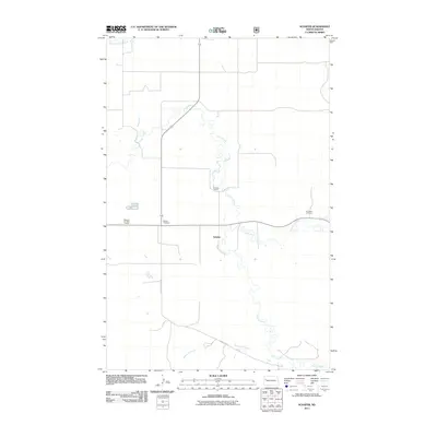 2011 Schafer2011 Print · USGSCovers Watford City, including Schafer, McKenzie County, and other nearby areas
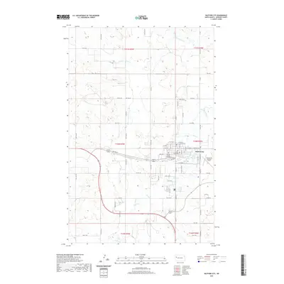
 - 2014 Map of Watford City, 2014 Print
 2014 Watford City2014 Print · USGSCovers Watford City, including McKenzie County, United States, and other nearby areas
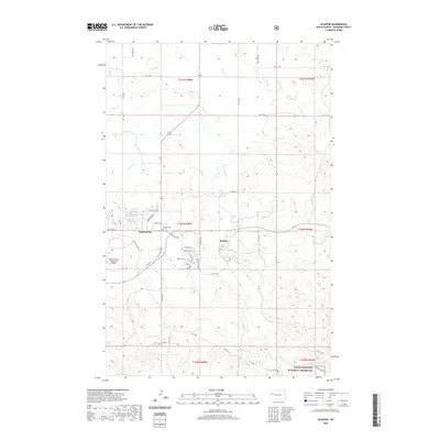
 - 2014 Map of Schafer, 2014 Print
 2014 Schafer2014 Print · USGSCovers Watford City, including Schafer, McKenzie County, and other nearby areas
 - 2017 Map of Watford City, 2017 Print
 2017 Watford City2017 Print · USGSCovers Watford City, including McKenzie County, United States, and other nearby areas
 - 2017 Map of Schafer, 2017 Print
 2017 Schafer2017 Print · USGSCovers Watford City, including Schafer, McKenzie County, and other nearby areas
 - 2020 Map of Watford City, 2020 Print
 2020 Watford City2020 Print · USGSCovers Watford City, including McKenzie County, United States, and other nearby areas
 - 2020 Map of Schafer, 2020 Print
 2020 Schafer2020 Print · USGSCovers Watford City, including Schafer, McKenzie County, and other nearby areas
 - 2024 Map of Watford City, 2024 Print
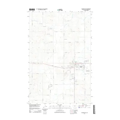
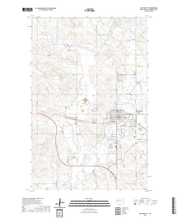 2024 Watford City2024 Print · USGSWatford City at the start of the 2020s shows the continued growth of this McKenzie County hub amidst the North Dakota prairie. Researchers can trace local landmarks like the McKenzie County Courthouse, Crosspoint Church, and the McKenzie County Cem.
 - 2024 Map of Schafer, 2024 Print
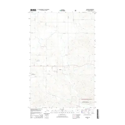
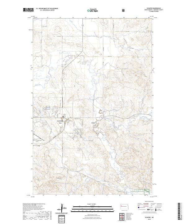 2024 Schafer2024 Print · USGSMcKenzie County's evolving landscape is visible here in the 2020s, centered on the expansion of Watford City and the rural reaches of Schafer. Researchers can trace the layout of modern neighborhoods alongside traditional sites like Schafer Cem and the Little Missouri National Grassland.
End of results
Showing maps 1-10 of 10
Top cities near Watford City
Frequently asked questions
- What are the different types of historical maps available for Watford City?
- What is the oldest map of Watford City?
- Where can I purchase historical maps of Watford City for my home or office?
- Where can I download high-res historical maps of Watford City?
- Are there historical topographic maps available for Watford City?
- Is there historical aerial imagery available for Watford City?
- Where are historical maps of Watford City sourced from?